
Philadelphia Rapid Transit System Car Route Guide
$225.00
The expansive network of the Philadelphia Rapid Transit System in the early 1920s.
1 in stock


Description
This map and route guide offer a glimpse at the operations of the Philadelphia Rapid Transit System near its zenith, in 1922. The former, printed by the Brownell Photo-Lithograph Company, highlights the myriad of operational streetcar lines in the City of Brotherly Love and surrounding suburbs. A complicated web of lines is accompanied by car numbers, with destinations including various suburbs, country clubs, parks, cemeteries, the Navy Yard on League Island, and much more. Insets show the P.R.T. Lines in Delaware County and the suburban line connections extending even further. A handy reference on the verso, titled ‘What Car Do I Take?’, offers an exhaustive list of attractions, businesses, churches, and buildings accessible by the streetcar system.
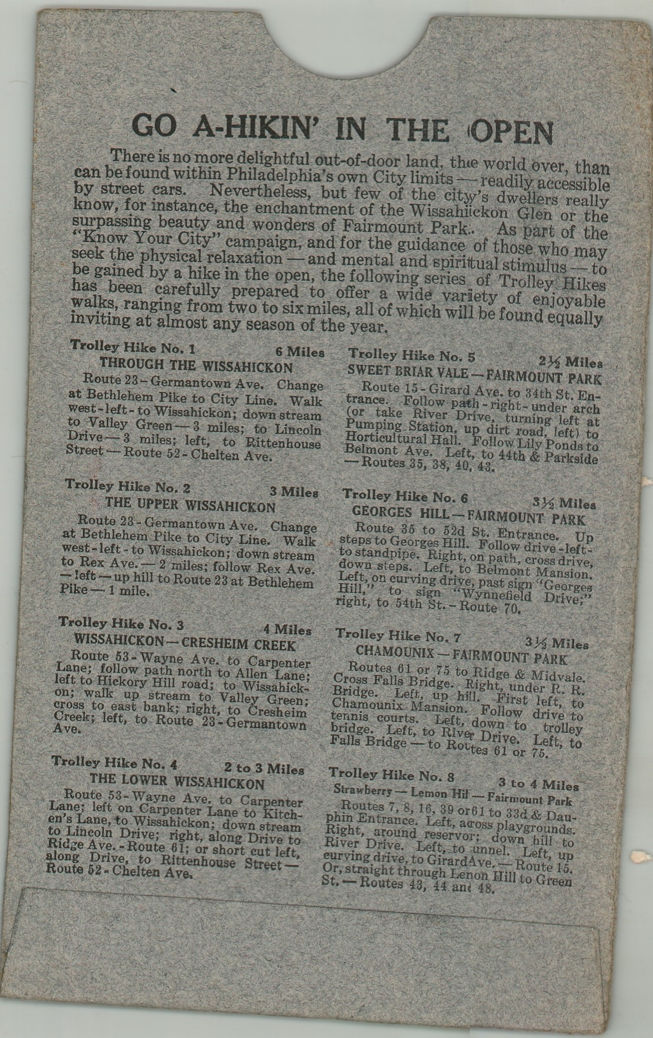
A Route Guide and Owl Car Time-Table is also included, with the night service reflecting Philadelphia’s significant 24-hour industrial output. Its 52 pages contain a centerfold map, street directory, public timetable, route list, and more. Finally, the pair of items is contained within a gray paper envelope, with text on the verso encouraging the audience to ‘Go A-Hikin’ in the Open’ (with the help of the trolley, of course).
Map Details
Publication Date: 1922
Author: Philadelphia Rapid Transit Company
Sheet Width (in): 13.90
Sheet Height (in): 24.00
Condition: A-
Condition Description: Double-sided route map (size given), 54 pp. route guide/timetable, and original gray paper envelope. Map shows some light creasing and there is old writing (black ink) on the wraps and booklet. Blue writing along several of the routes on the map. Very good condition overall.
$225.00
1 in stock