
Perly’s 6-in 1 Professional Map of Greater Victoria plus Sannich Peninsula plus Vancouver Island
$50.00
6 Maps and Travel Features for only 75 cents!
1 in stock
Description
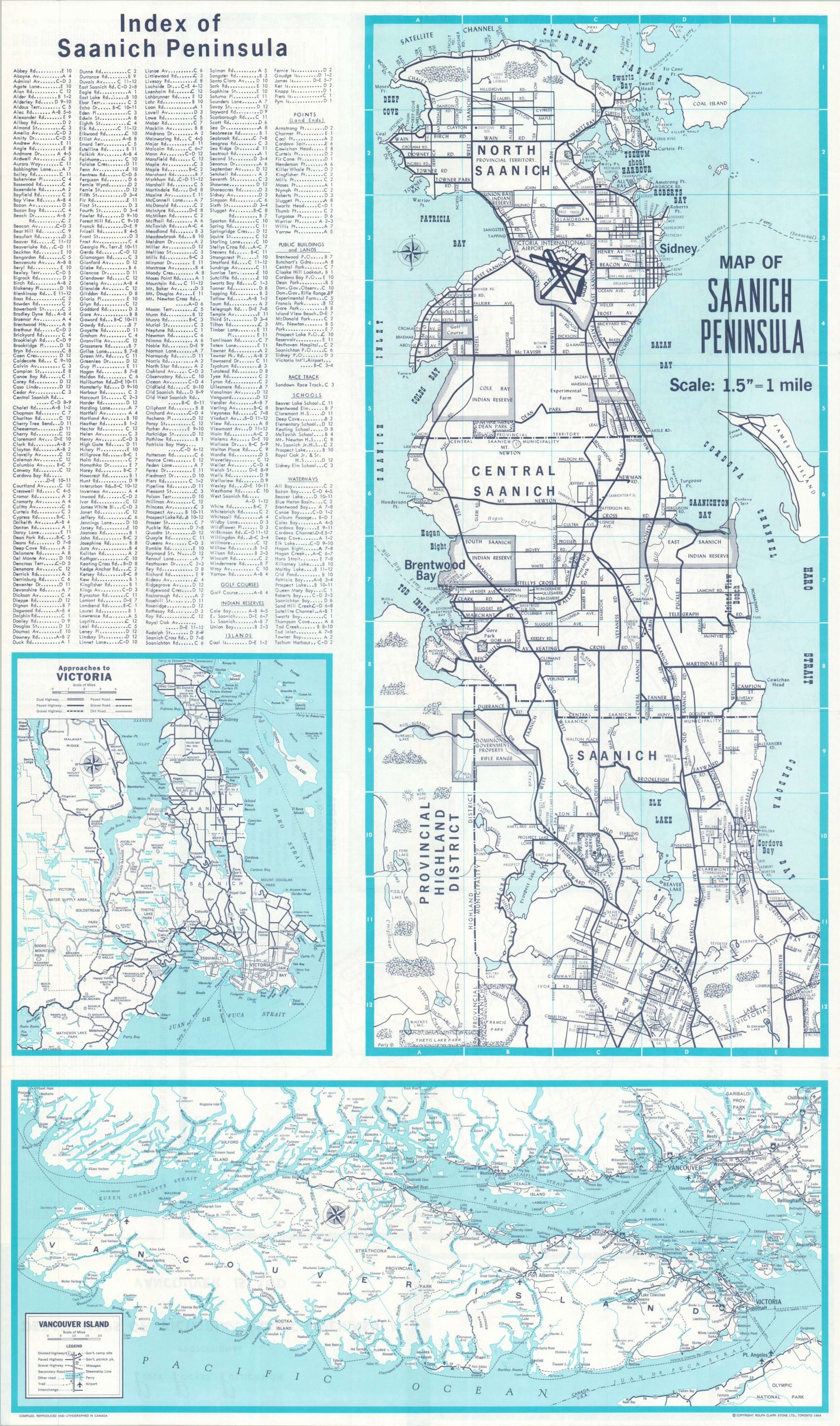
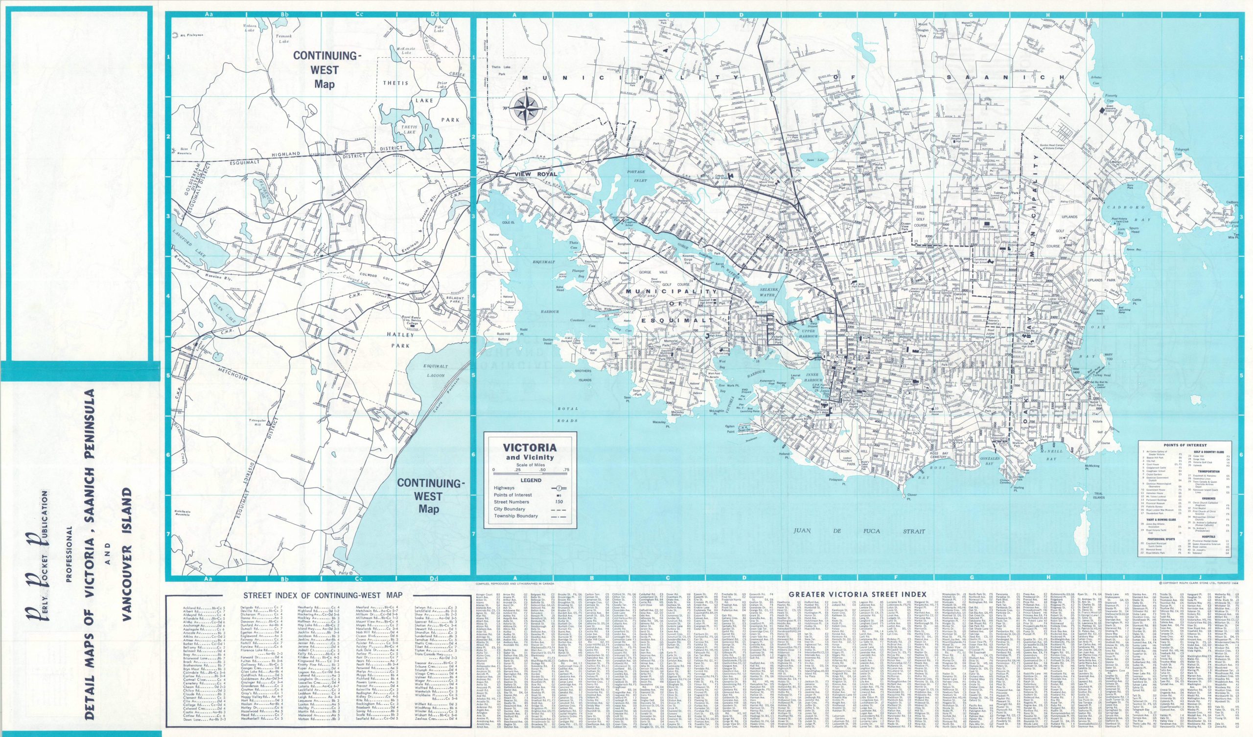
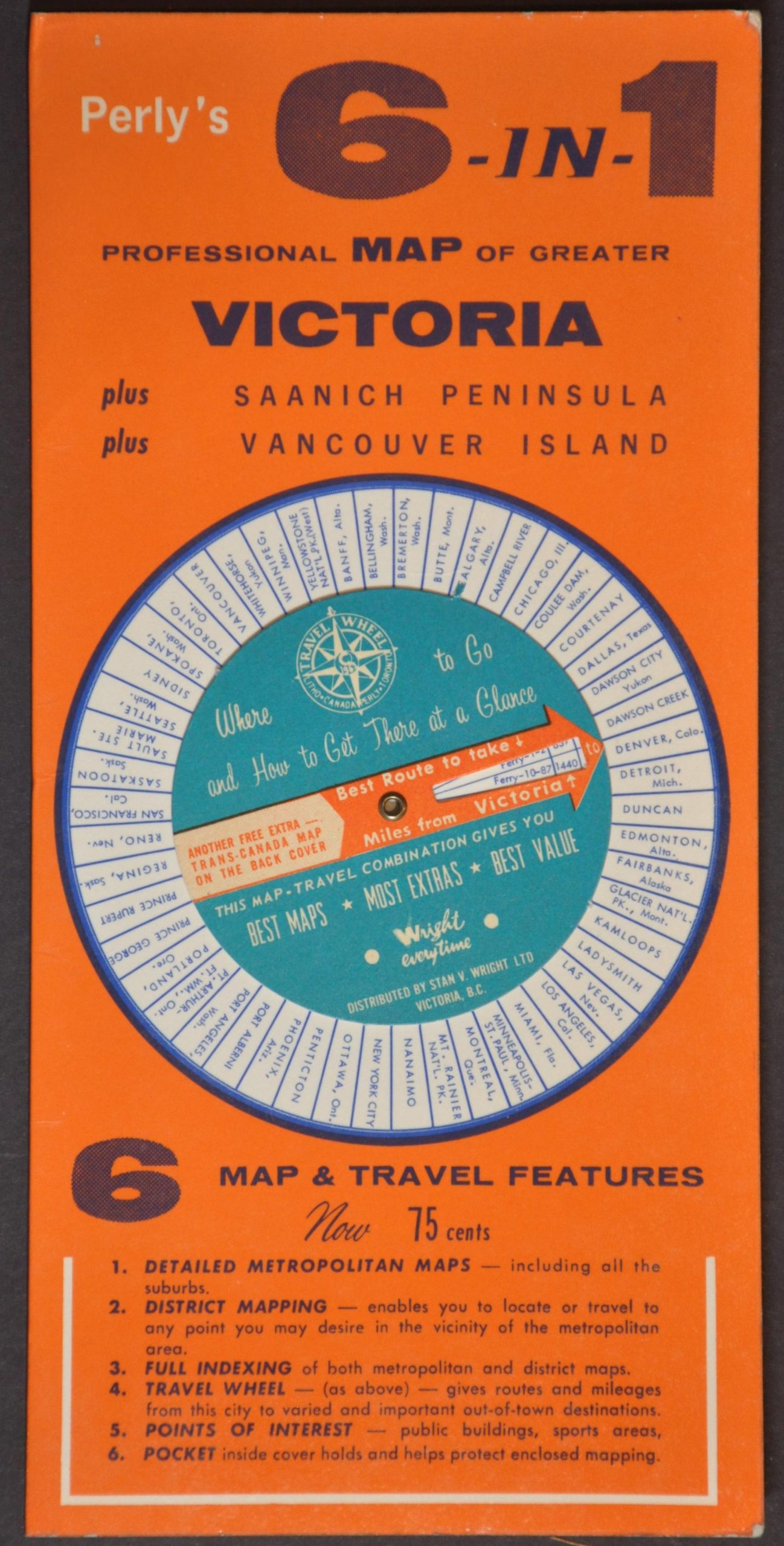
This innovative cartographic contraption promises detailed maps covering Victoria, Vancouver, and other urban areas in British Columbia, folded within a bright orange cardboard sleeve. A spinning wheel on the front cover offers ‘Where to Go and How To Get There at a Glance’, whereas the back presents a simple map of the Trans-Canada Highway (most of which opened for use in 1962).
The map and sleeve were designed in 1964 (dated, back cover) by A.M. Perly. Copyrighted by Toronto-based Variprint Services and distributed by Stan V. Wright, Ltd. of Victoria.
Map Details
Publication Date: 1964
Author: A.M. Perly
Sheet Width (in): 17.9
Sheet Height (in): 31.4
Condition: A
Condition Description: Double-sided folding map in original cardboard sleeve with brass rivets and a paper volvelle on the front cover. A faint circular divot in the paper (from the central pivot). Very good to near fine condition overall.
$50.00
1 in stock