Pennsylvania
$100.00
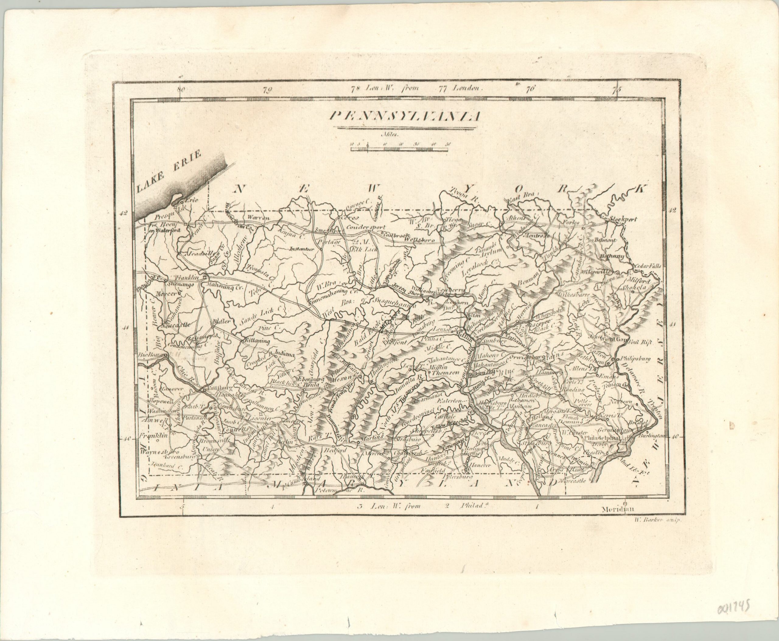
Densely informative map of Pennsylvania and the southern shore of Lake Erie.
1 in stock
Description
Place names and geographic features compete for space on this copperplate engraved map of Pennsylvania. Counties are notably absent, though perhaps this was fortunate for legibility’s sake.
The state is shown as being quite settled for the early decades of the 1800’s, with numerous urban areas connected by a robust system of roads. Topography is depicted pictorially and concentrated most prominently in the central and northeast regions, showing the mountains containing coal and iron that helped to fuel America’s Industrial Revolution.
Published in Philadelphia in 1820 by Benjamin Warner and Matthew Carey, for inclusion in A General Atlas: Being a Collection of Maps of the World and Quarters…
Map Details
Publication Date: 1820
Author: Matthew Carey
Sheet Width (in): 10.20
Sheet Height (in): 8.30
Condition: A
Condition Description: The top of the image has faded somewhat, but in near fine condition overall, on an expertly cleaned sheet.
$100.00
1 in stock

