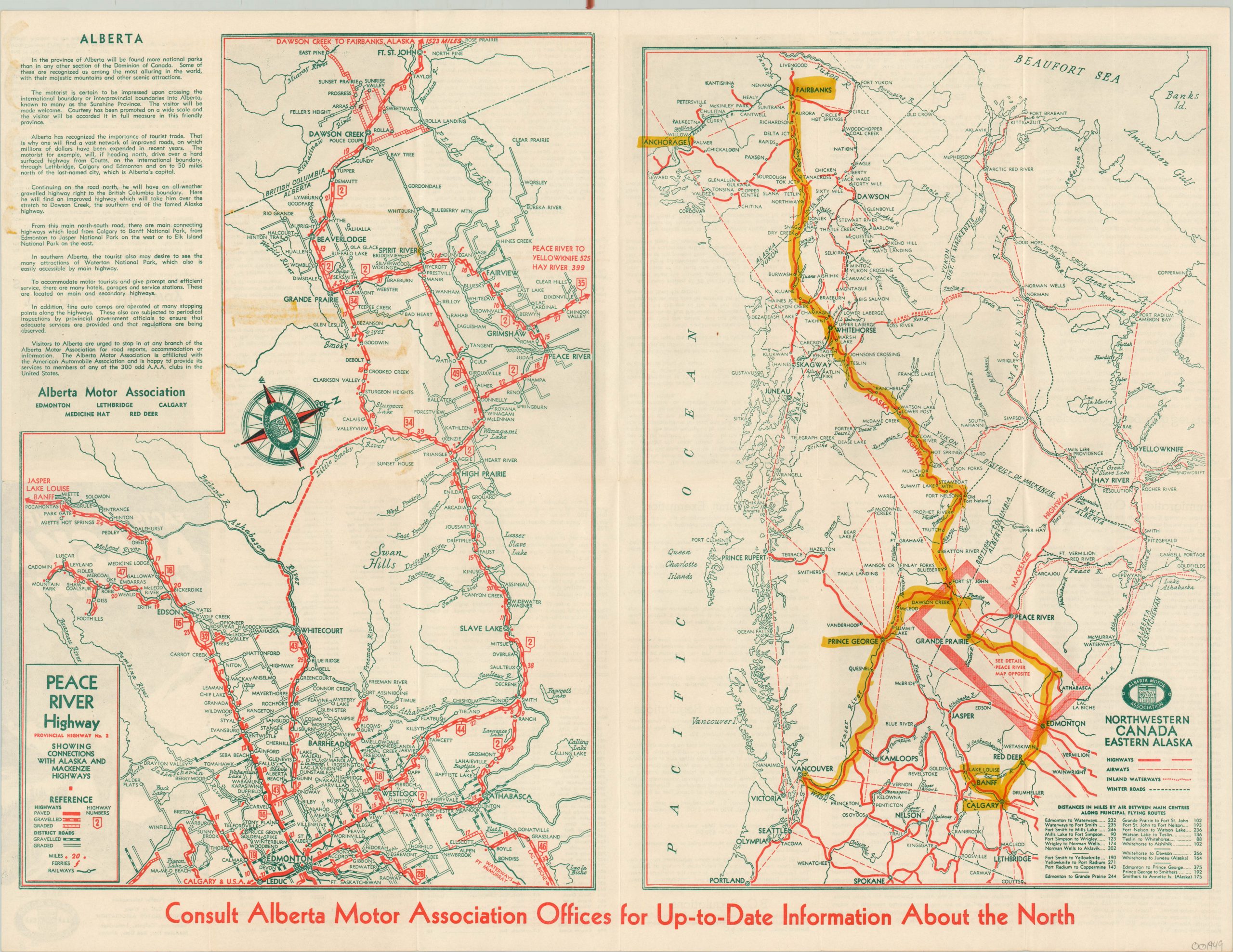
Peace River Highway
Canadian road map issued by a regional automobile association in the early 1950’s.
Out of stock
Description
This dual-image map is emblematic of regional efforts to capitalize on the popularity of automobile tourism in the 1950’s. The Alaska-Canadian (ALCAN) Highway, completed during World War II, was a popular thoroughfare for outdoor enthusiasts and the Alberta Motor Association issued this map highlighting accessibility to the route from the territorial capital of Edmonton.
The left side shows the Peace River Highway from Edmonton to Dawson Creek, the beginning of the ALCAN. Roads are highlighted according to surface (paved, gravelled, graded) and distances are noted between various points. The right half shows a much broader scope, including much of northwestern Canada and Alaska. This image also identifies inland waterways, winter roads, and airways.
The verso features a variety of information for the automobile tourist along the ALCAN Highway; including radio stations, fish and game regulations, customs and immigration laws, and travel regulations. Published in 1953 by the Alberta Motor Association. Printed in Edmonton by Metropolitan Printing Company.
Map Details
Publication Date: 1953
Author: Alberta Motor Association
Sheet Width (in): 23.6
Sheet Height (in): 18
Condition: B+
Condition Description: Yellow highlighting visible on the right side of the sheet, with minor offsetting visible on the right as a result.
Out of stock

