
Paving and Road Distances on the United States Highways
$200.00
A Depression-era overview of America’s national highway network.
1 in stock

Description
This ephemeral map of America’s roads offers a fascinating snapshot of the National Numbered Highway System, introduced in 1926, as the nation’s highway network was being paved and improved during the interwar period. Solid lines indicate paved surfaces, while cased lines highlight graded or gravel highways. Even long stretches of the iconic Route 66 were still waiting to be paved! Distances between points are noted, and a handful of National Parks (major attractions of the era) are labeled throughout.
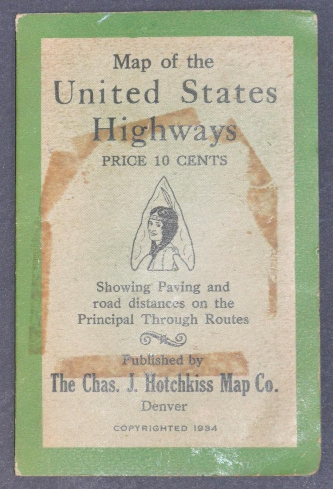
The straightforward work was copyrighted in 1934 by the Charles J. Hotchkiss Map Company of Denver, a corporate successor to the Clason Map Company, which had been established the previous year. Text on the front cover indicates that it originally sold for just ten cents. Also featured on the cover is an interesting vignette of a beautiful Native American woman framed by an arrowhead border, a striking reflection of the association between the “Wild West” and the emerging culture of automobile tourism.
Map Details
Publication Date: 1934
Author: Charles J. Hotchkiss Map Company
Sheet Width (in): 19.00
Sheet Height (in): 12.00
Condition: B+
Condition Description: Single-sided pocket map folded and affixed to original stiff green wraps. Creasing and wear along folds, including some minor loss in the upper left corner (southern Oregon). Covers are moderately soiled, but the map remains in good condition overall.
$200.00
1 in stock