
Partie Septentrionale du Gouvernement General de la Guienne
$250.00
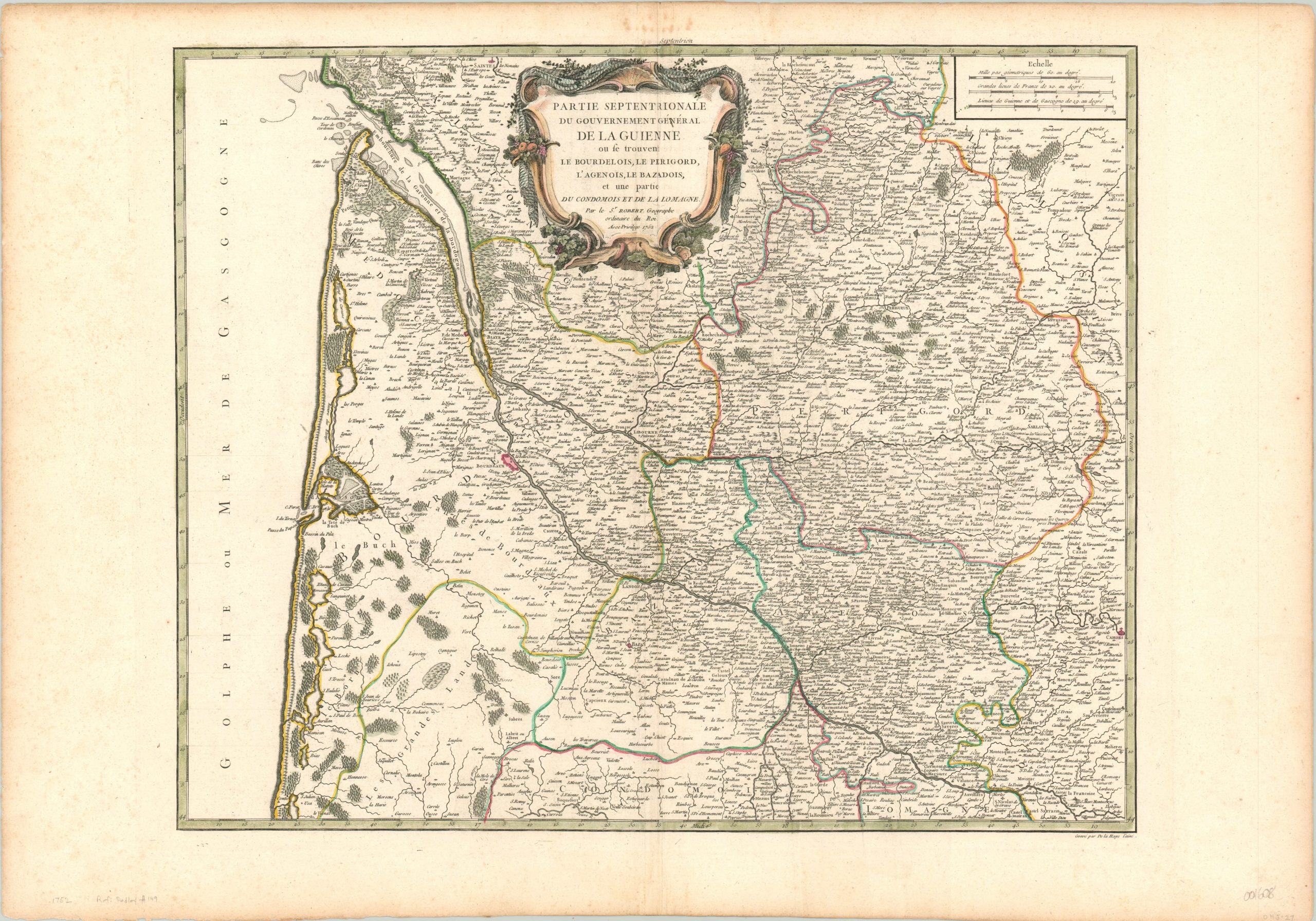
Detailed copperplate engraved map of the old French province of Guienne.
1 in stock
Description
Though it became outdated during the political reorganization of the French Revolution, the province of Guienne played an important role in France’s history. Situated along the southwestern coast, it is home to the “Entre deux Mers” region opposite the city of Bordeaux, which became the second busiest port in the world around the time of publication (after London).
Marshes and forests are depicted pictorially, and countless place names are crammed within the image. A decorative cartouche can be found at the top, adorned with emblems of local industry like fishing nets and, of course, wine.
The map is dated 1752, and was published in Paris by Robert de Vaugondy for inclusion in his Atlas Universel.
References: Pedley # 149
Map Details
Publication Date: 1752
Author: Robert de Vaugondy
Sheet Width (in): 31.50
Sheet Height (in): 22.00
Condition: A-
Condition Description: Faint extraneous creasing on either side of the centerfold, and several small spots in the upper margin, away from the image. Near fine condition, a bold impression on watermarked paper with nice hand color.
$250.00
1 in stock