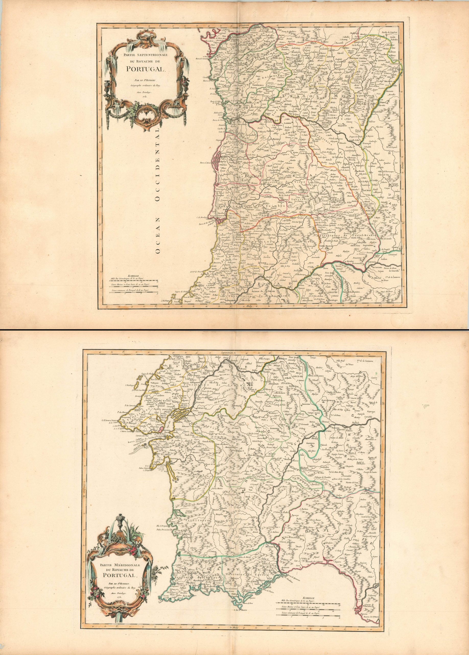
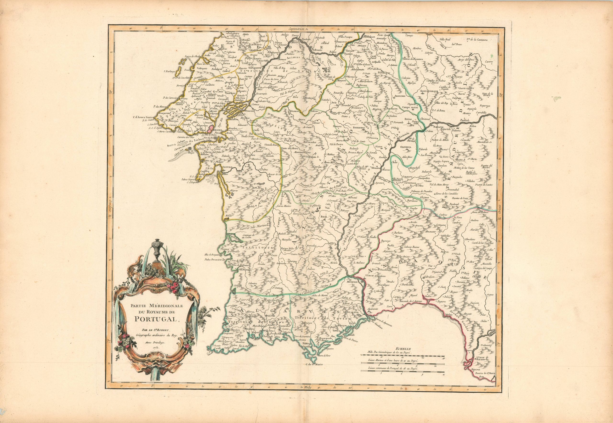
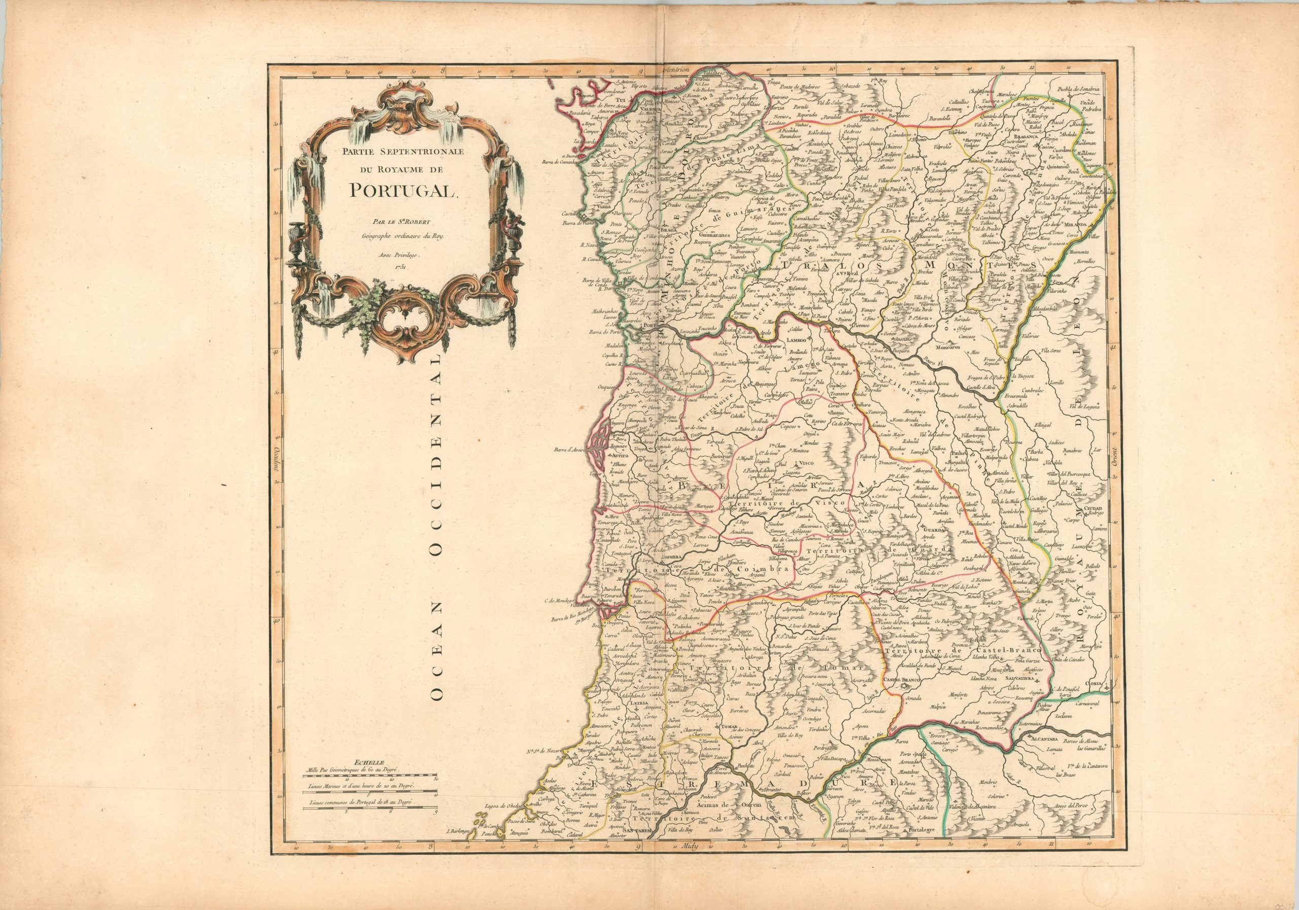
Partie Septentrionale [and] Partie Meridionale du Royaume de Portugal
$275.00
Beautiful two sheet map of Portugal published in the middle of the 18th century.
1 in stock
Description
These fine copperplate engraved maps of northern and southern Portugal were published in Paris by Robert de Vaugondy in 1751. Pictorial topography, skillfully engraved lines and vibrant hand color delineate geographic and political details of the Iberian kingdom, led by the newly crowned Joseph I. Fortifications and cities with certain ecclesiastical facilities are also noted, where applicable.
The national capital, Lisbon, is highlighted in red on the southern sheet, and the famous Belem Tower can be seen just west. Just four years after publication, the city would be almost completely destroyed by an earthquake and subsequent fires and tsunami.
References: Pedley, 319 & 321.
Map Details
Publication Date: 1751
Author: Robert de Vaugondy
Sheet Width (in): 31.5 (each)
Sheet Height (in): 21.9 (each)
Condition: A-
Condition Description: Two sheets, both of which feature toned margins consistent with age. A few small edge tears, and one damp stain in the lower right corner of the northern sheet that barely enters the plateline. Features fine hand color on thick, watermarked paper.
$275.00
1 in stock


