Partie Meridionale du Cercle D’Autriche
$200.00
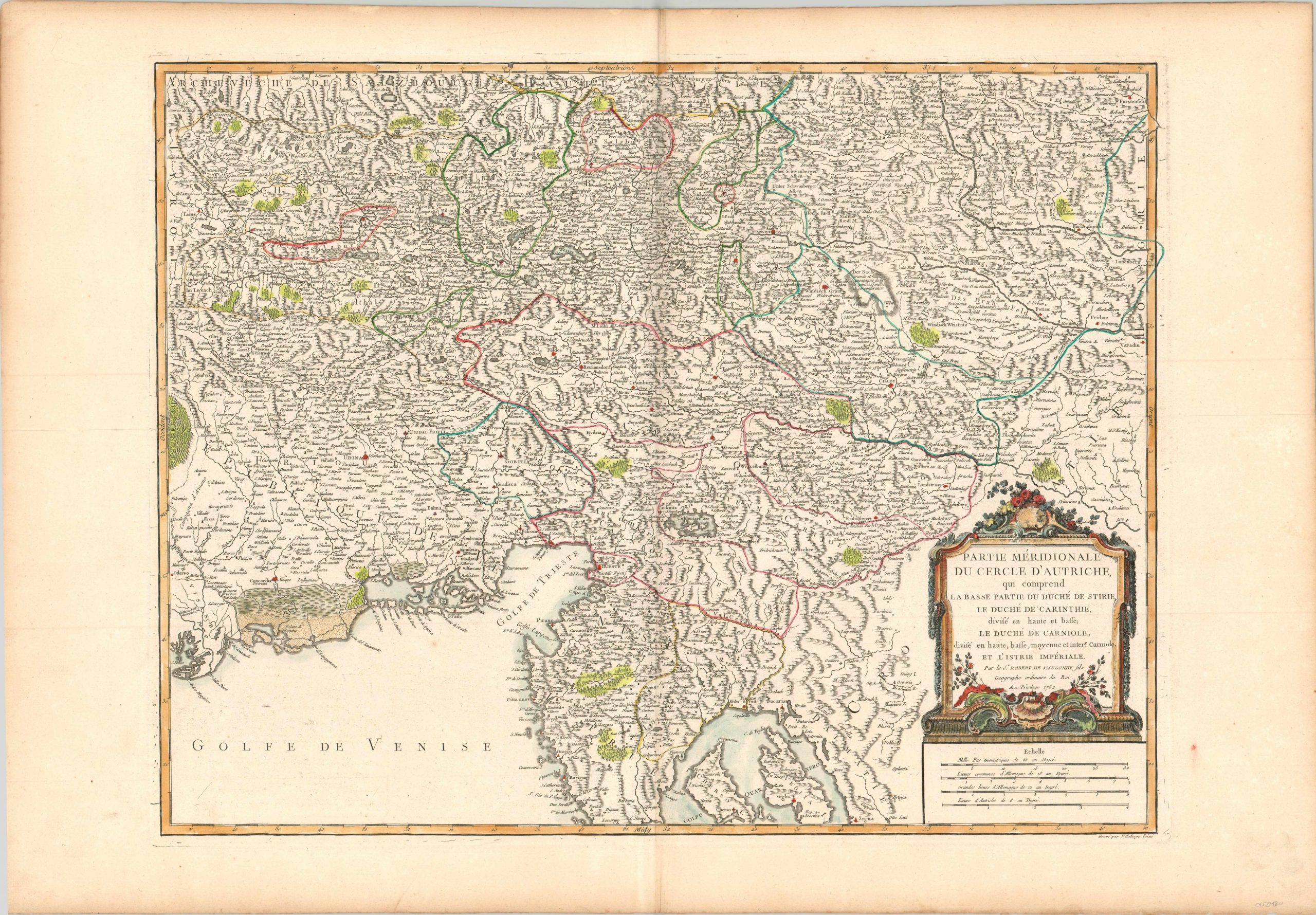
Fine copperplate engraved map of the southern territories of Austria.
1 in stock
Description
The historical kingdom of Austria was one of the most powerful components of the larger Holy Roman Empire, and held the seat of the Hapsburg domains in its capital, Vienna. This map shows the southern part of the Austrian territory, which extended into modern day Italy, Croatia, and Slovenia along the coast of the Gulf of Venice.
The region’s mountainous terrain is depicted with pictorial topography, and other geographic features like forests, lowlands, and individual peaks are also illustrated.
This is the second state of the map, with accents above several of the ‘Sees’. Published in Paris by Robert de Vaugondy around 1768 for inclusion in his Atlas Universel.
Reference: Pedley, 278.
Map Details
Publication Date: c. 1768
Author: Robert de Vaugondy
Sheet Width (in): 31.70
Sheet Height (in):
Condition: A
Condition Description: Light creasing along the vertical centerfold and a bit of mild abrasion within the image, noticeable in the lower left. Very good to near fine overall, with attractive hand color.
$200.00
1 in stock

