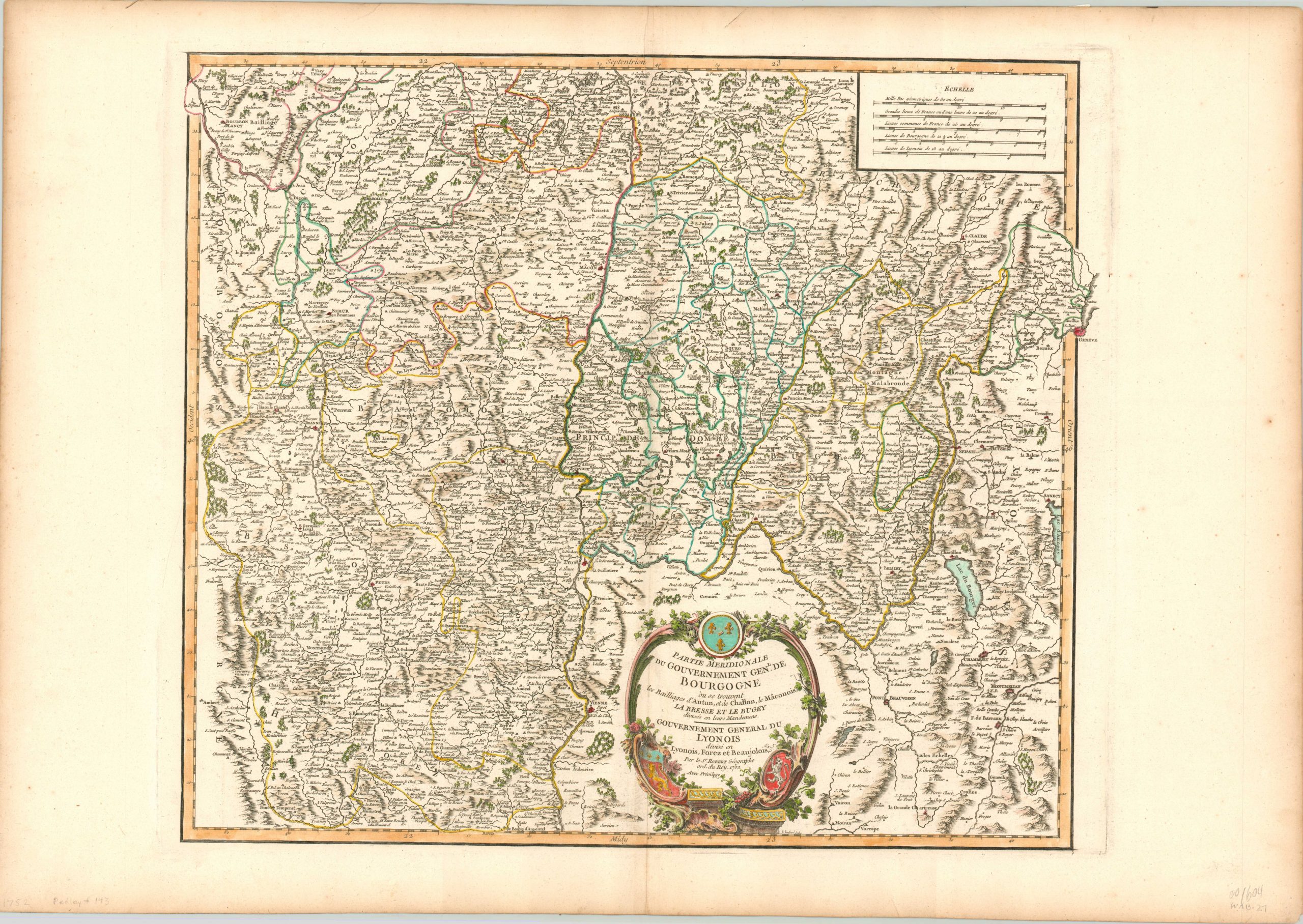
Partie Meridionale de Gouvernement Gen. De Bourgogne
$150.00
A copperplate engraved map of southern Burgundy featuring original hand color.
1 in stock
Description
This beautiful map of the southern portion of Burgundy was published in Paris by Robert de Vaugondy and provides a highly detailed overview of the historic region. Relief and wooded areas are depicted pictorially, while a variety of symbols identify fortified cities, towns, abbeys and more.
Lyon, Geneva, Macon, and Vienne are all featured prominently within the image, which also contains a decorative cartouche with three coats of arms (including that of Lyon, lower left).
The map is dated 1752, but was published in the 1757 of Robert de Vaugondy’s Atlas Universel. The body color is original, but the cartouche was done by a more recent hand.
References: Pedley # 143
Map Details
Publication Date: 1752
Author: Robert de Vaugondy
Sheet Width (in): 31.50
Sheet Height (in): 22.00
Condition: A
Condition Description: Near fine condition, with ample margins and fine original body color (later color in the cartouche). Minor wear along vertical centerfold. Issued on thick, watermarked paper.
$150.00
1 in stock

