
Partie Meridionale de Gouvernement de Guienne
$150.00
Dense and informative map of the southern portion of the historic French province of Guienne.
1 in stock
Description
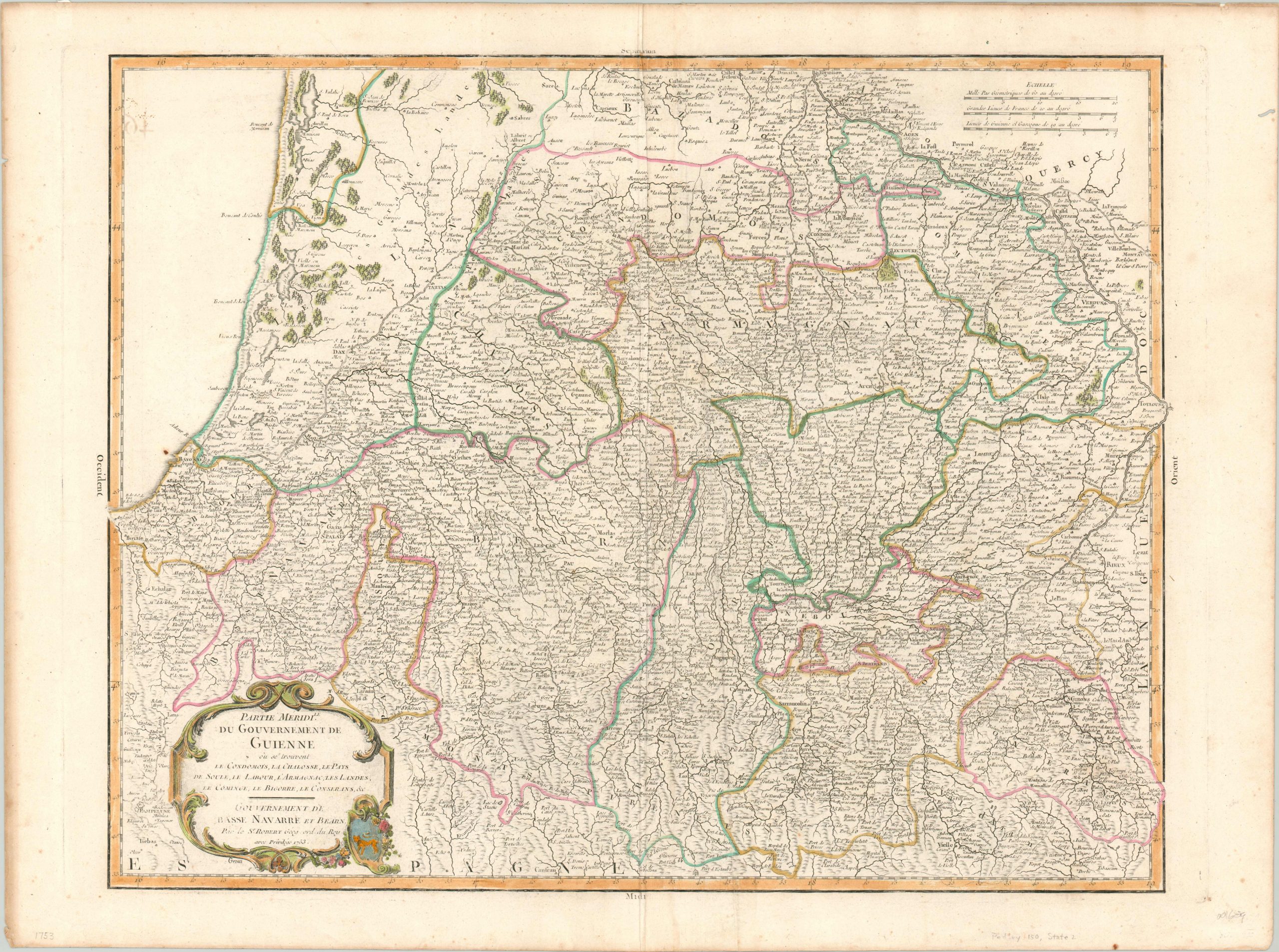
This fine copperplate engraved map shows a portion of southwestern France between the Mediterranean Sea and Toulouse, including the port city of Bayonne and Pamplona (in Spain). Certain geographic features like topographic relief and woodlands are depicted pictorially, but the image is dominated by a myriad of place names. These represent a wide variety of various political entities; including towns, abbeys, chateaus, villages, and more.
In the lower right is a decorative rococo cartouche featuring the coat of arms of Guienne (though on a blue background, instead of red). This identifies the map as the second state, created in Paris by Robert de Vaugondy in 1753 for inclusion in his Atlas Universel.
References: Pedley # 150.
Map Details
Publication Date: 1752
Author: Robert de Vaugondy
Sheet Width (in): 28.90
Sheet Height (in): 21.40
Condition: A-
Condition Description: Faint toning along the outer edges and several small extraneous creases adjacent to the vertical centerfold. Original outline body color, with more modern color in the cartouche. Very good condition overall. A bold impression on watermarked paper.
$150.00
1 in stock