
Paris
$95.00
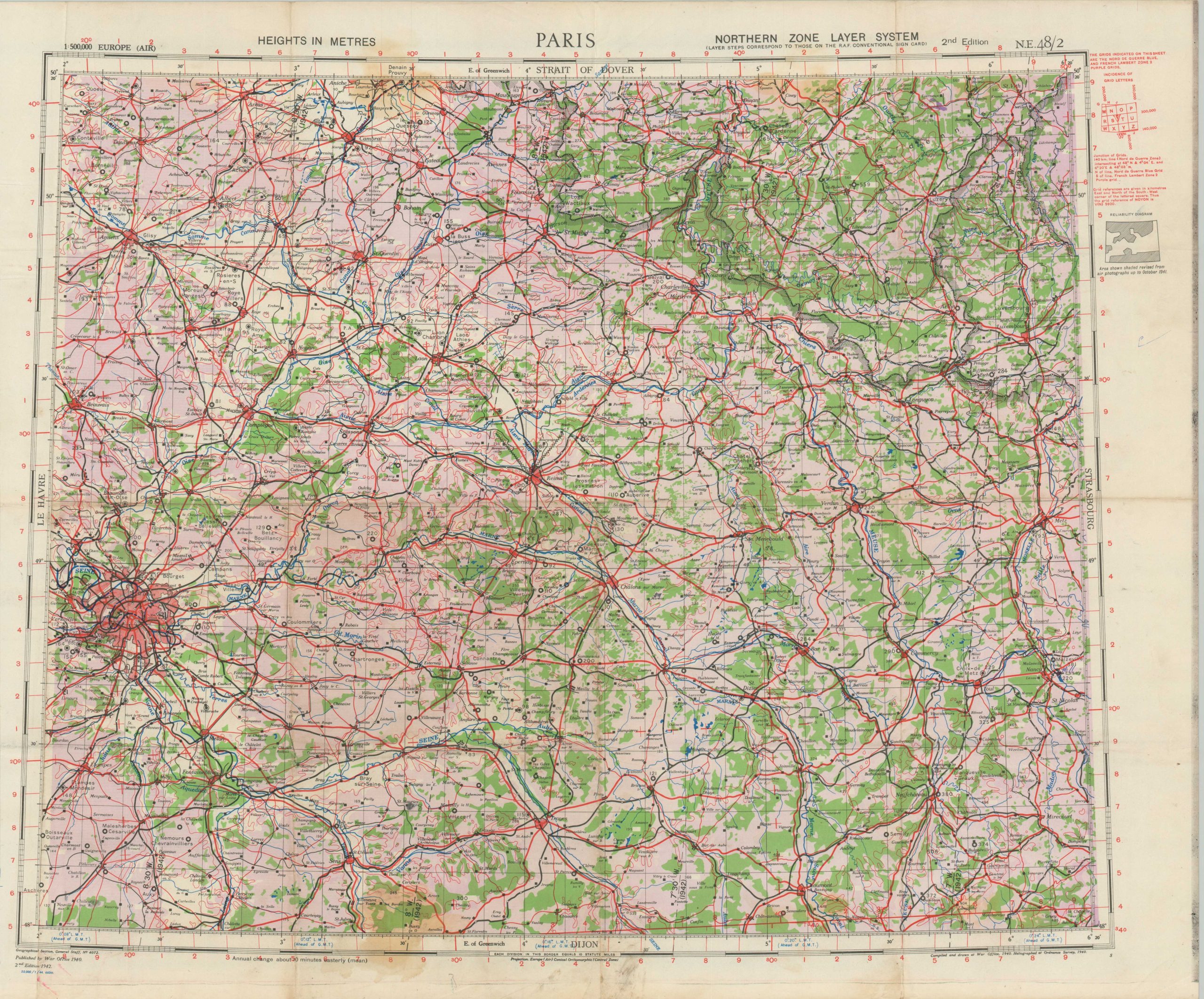
British military map of German-Occupied Paris.
1 in stock
Description
This second-edition map of Paris was compiled and published by the Geographical Section, General Staff of the British War Office in 1942. A further printer’s code (blue) in the lower left indicates this example was probably issued in early 1944 – just a few months before the momentous Allied amphibious invasion of Normandy.
Designed at a scale of 1:500,000, the colorful image offers a high-level overview of the area east of the French capital, then entering its fourth year of occupation by the German Army. It was compiled by aerial reconnaissance and provides rudimentary information on the physical landscape, major landmarks, and the transportation network.
Map Details
Publication Date: 1942
Author: Geographical Section, General Staff
Sheet Width (in): 28.75
Sheet Height (in): 23.75
Condition: B
Condition Description: Heavy creasing along old fold lines and two circular stains, about 3" across, at the top and bottom of the sheet (see scan). Scattered spotting and some soiling visible in the margins. About good condition overall. Blank on verso.
$95.00
1 in stock