Paris
$350.00
Paris, after it’s liberation during World War II.
1 in stock
Description
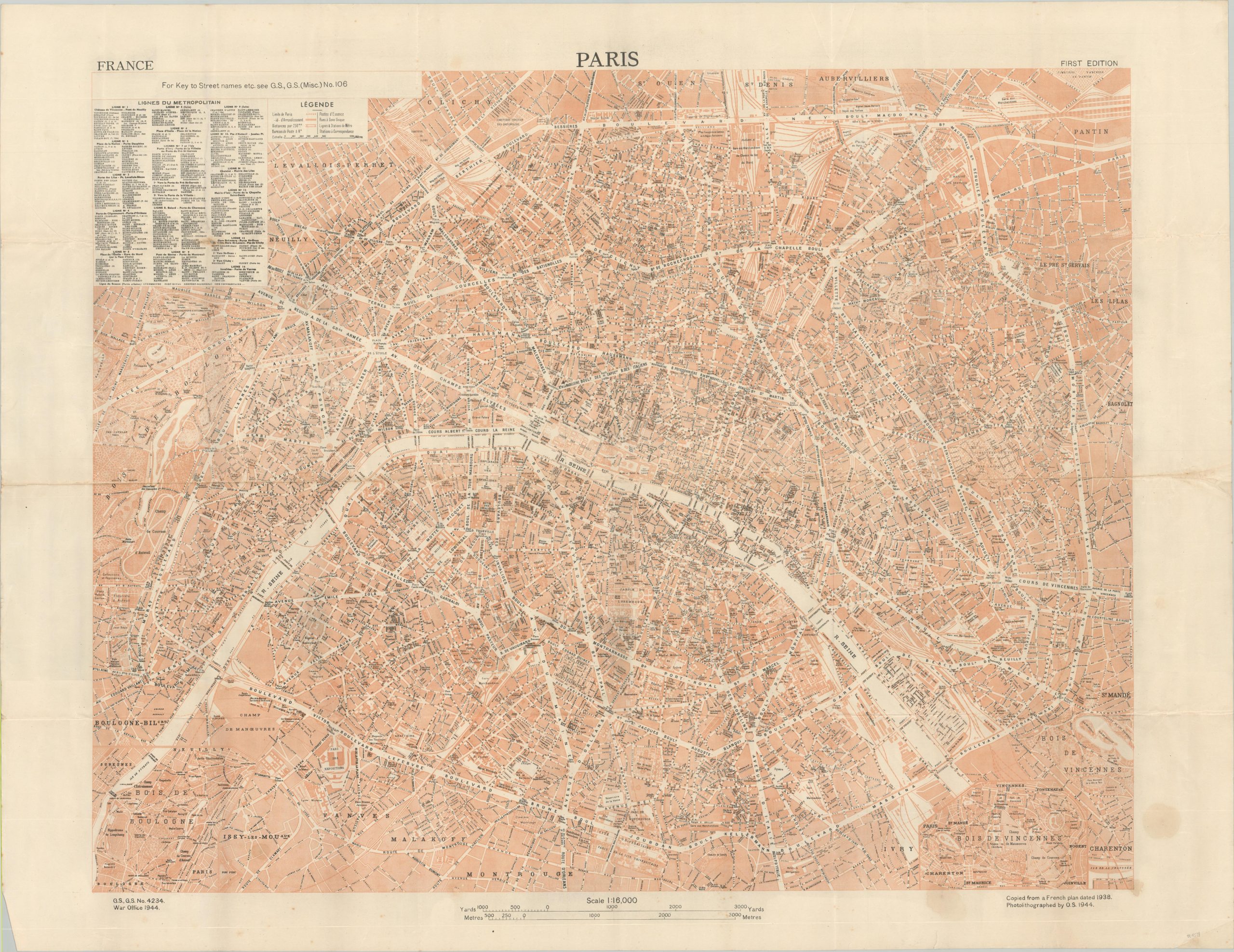
The first edition plan of Paris was issued as General Staff Document No. 4234 by the British War Office in 1944. The image is copied from French plans dated 1938 and was photolithographed by O.S. (presumably, the Ordnance Survey). The map provides a detailed overview of the French capital and the surrounding suburbs shortly after its liberation by Allied Forces in August of 1944.
The text is almost entirely in French, with a suggestion in the upper left to refer to an alternate guide for ‘Key to Street Names, etc.’ A nearby legend identifies the symbols used for the city limits, post offices, metro lines, arrondissements, and one-way streets. An adjacent text box lines the routes of the metropolitan transit lines – a useful form of transportation for the local troops.
Sources: The Liberation of Paris; Alternate Example at Princeton University;
Map Details
Publication Date: 1944
Author: War Office, General Staff
Sheet Width (in): 42.9
Sheet Height (in): 33.1
Condition: B
Condition Description: Heavily creased and moderately worn along old fold lines, including some extraneous wrinkling at fold intersections and along the outer edges of the sheet. Two damp stains visible in the lower right corner. Two uneven tears, about 3" and offsetting in the center left, have been repaired on the verso with archival tape. About good condition overall.
$350.00
1 in stock

