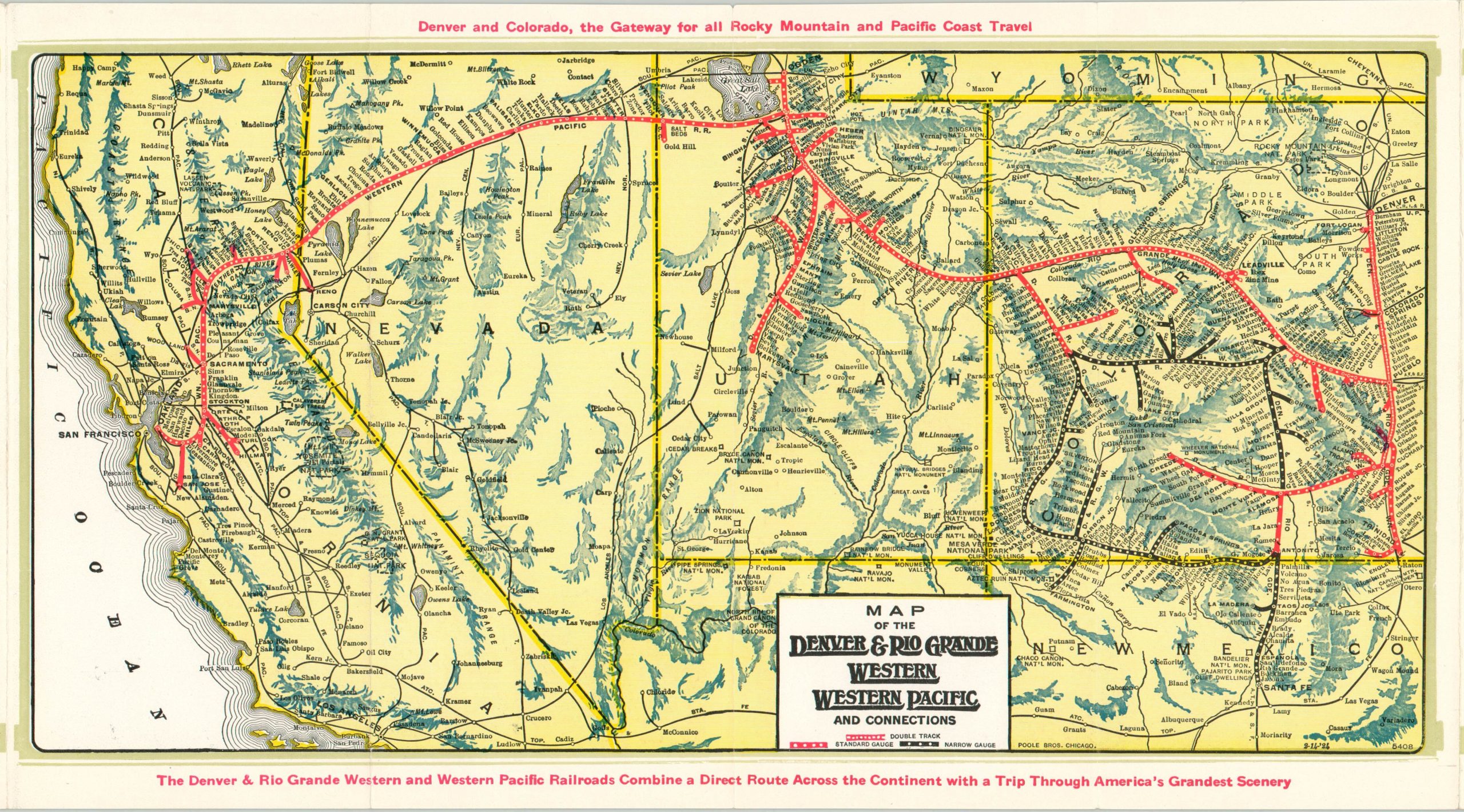
Panoramic Views Along the Denver & Rio Grande Western Pacific
“The Scenic Line of the World.”
Out of stock
Description
This superb piece of railroad travel ephemera was published in Chicago by the Poole Brothers in 1924 on behalf of the Denver & Rio Grande Western and Western Pacific Railroads. Cooperation between the lines began in the early 20th century, when railroad financier Jay Gould attempted to create a transcontinental empire that broke into the lucrative California market, dominated by rival Union Pacific.
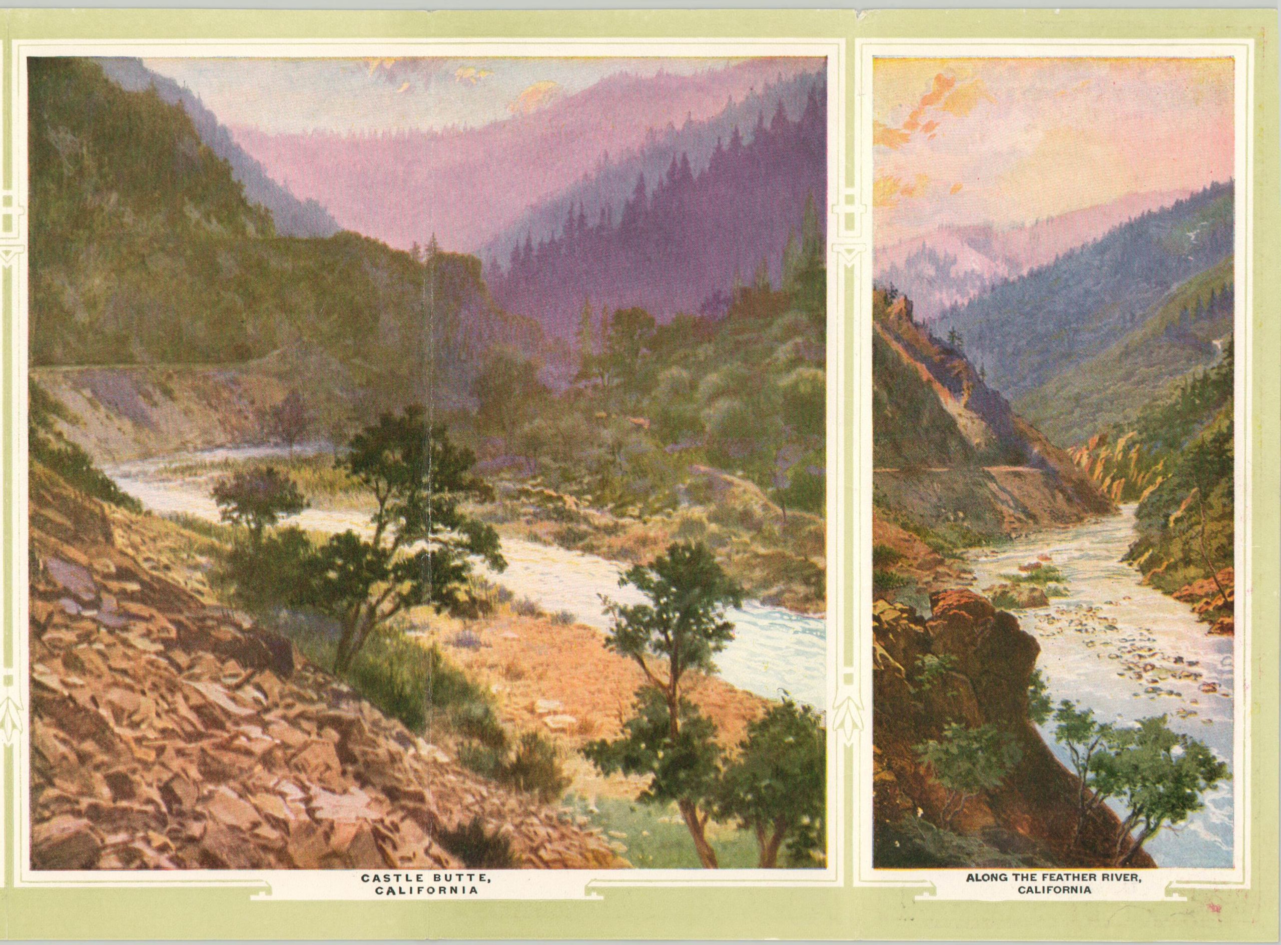
The western portion of this network is shown on the map of the combined systems, which highlights track sizes rather than individual ownership or right-of-way. Accompanying text describes the various routes and locations of interest in further detail, while the verso presents a series of nine beautifully illustrated scenes.
These include the Royal Gorge, Eagle River Canyon, Colorado River Canyon, and Marshall Pass in Colorado, the Temple Square in Salt Lake City and Crossing the Great Salt Lake in Utah, and Castle Butte and Along the Feather River in California. The impressive artwork backs up the map’s claim that “The Denver & Rio Grande and Western Pacific Railroads Combine a Direct Route Across the Continent with a Trip Through America’s Grandest Scenery.”
Map Details
Publication Date: 1924
Author: Denver & Rio Grande Western and Western Pacific Railroad
Sheet Width (in): See Description
Sheet Height (in): See Description
Condition: A-
Condition Description: Printed color brochure folded into fourteen separate panels that measure approximately 51.5" x 8.25" when unfolded. Creasing and minor wear along fold lines, including small tears along the outer edges and about 4" of separation that has been repaired with archival tape. The map occupies four panels and measures approximately 14.5" x 8.25" in total. Very good overall.
Out of stock


