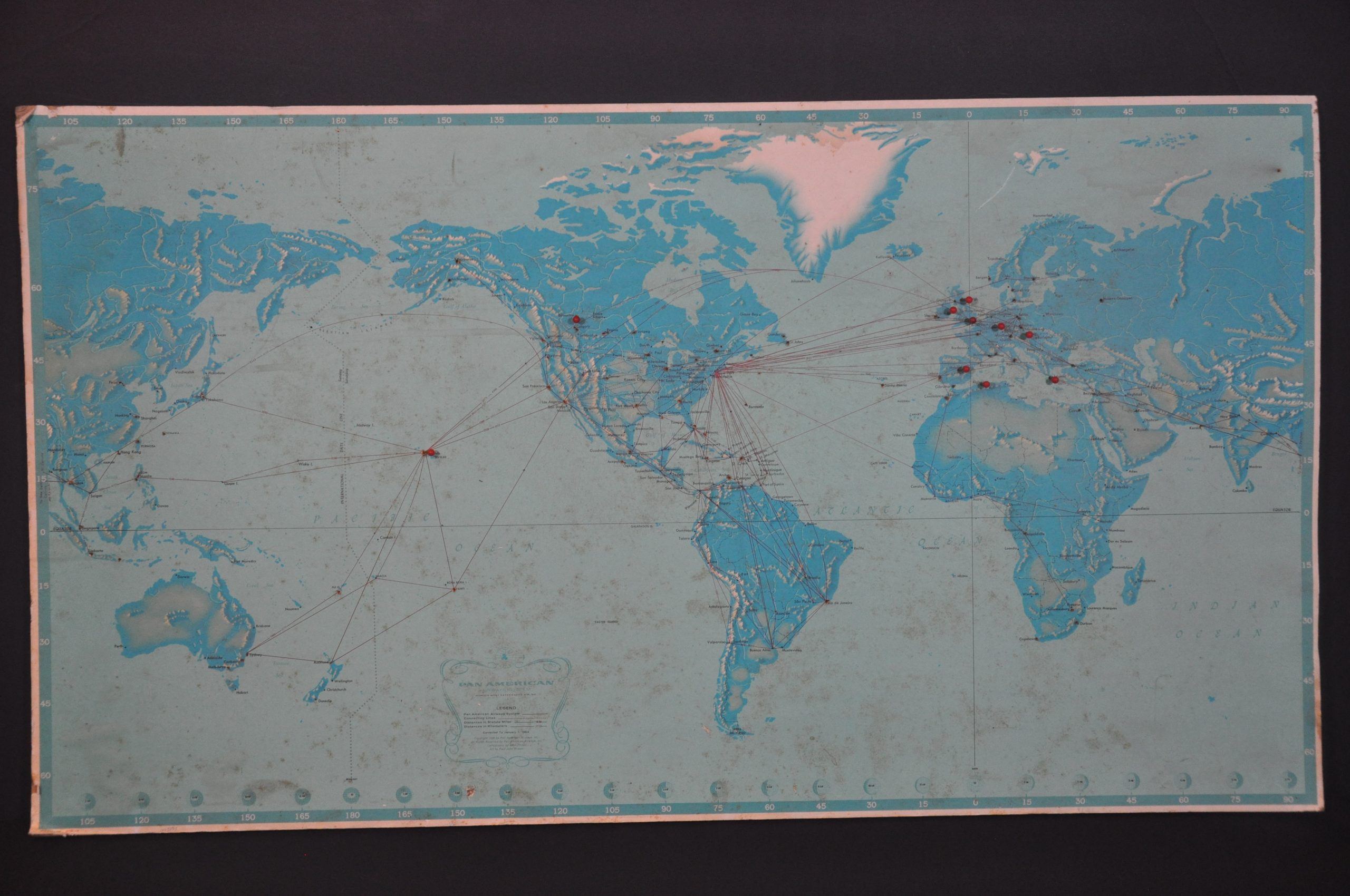
Pan American Airway System
$79.00
The routes of ‘The World’s Most Experienced Airline’ near its peak.
1 in stock
Description
This worldwide route map shows the lines of Pan American Airways in operation across the globe during the mid-1960s. Details are limited to stopover points, pictorial topography, and a border showing latitude, longitude, and time zone information. Distances between points are noted in miles and kilometers, though only a few of the routes show the distinctive arc resulting from flying along a curve.
The map was originally designed by John Philip and copywritten by Pan American Airways in 1956, shortly before the introduction of the Boeing 707 inaugurated the jetliner age for the company. This example has been revised to March of 1966. Several contemporary push pins are included.
Source: A Brief History of Pan Am
Map Details
Publication Date: 1966
Author: John Philip
Sheet Width (in): 31.5
Sheet Height (in): 17.5
Condition: C+
Condition Description: Printed map mounted to a stiff backing board that's about 1/4" thick. Moderate to heavy wear and spotting visible throughout, including damaged corners, small edge tears, and numerous push pin holes (several still present). Fair condition overall.
$79.00
1 in stock

