
Pacific Highway Maps
$150.00
An uncommon and early road map of the world-famous Pacific Coast Highway.
1 in stock

Description
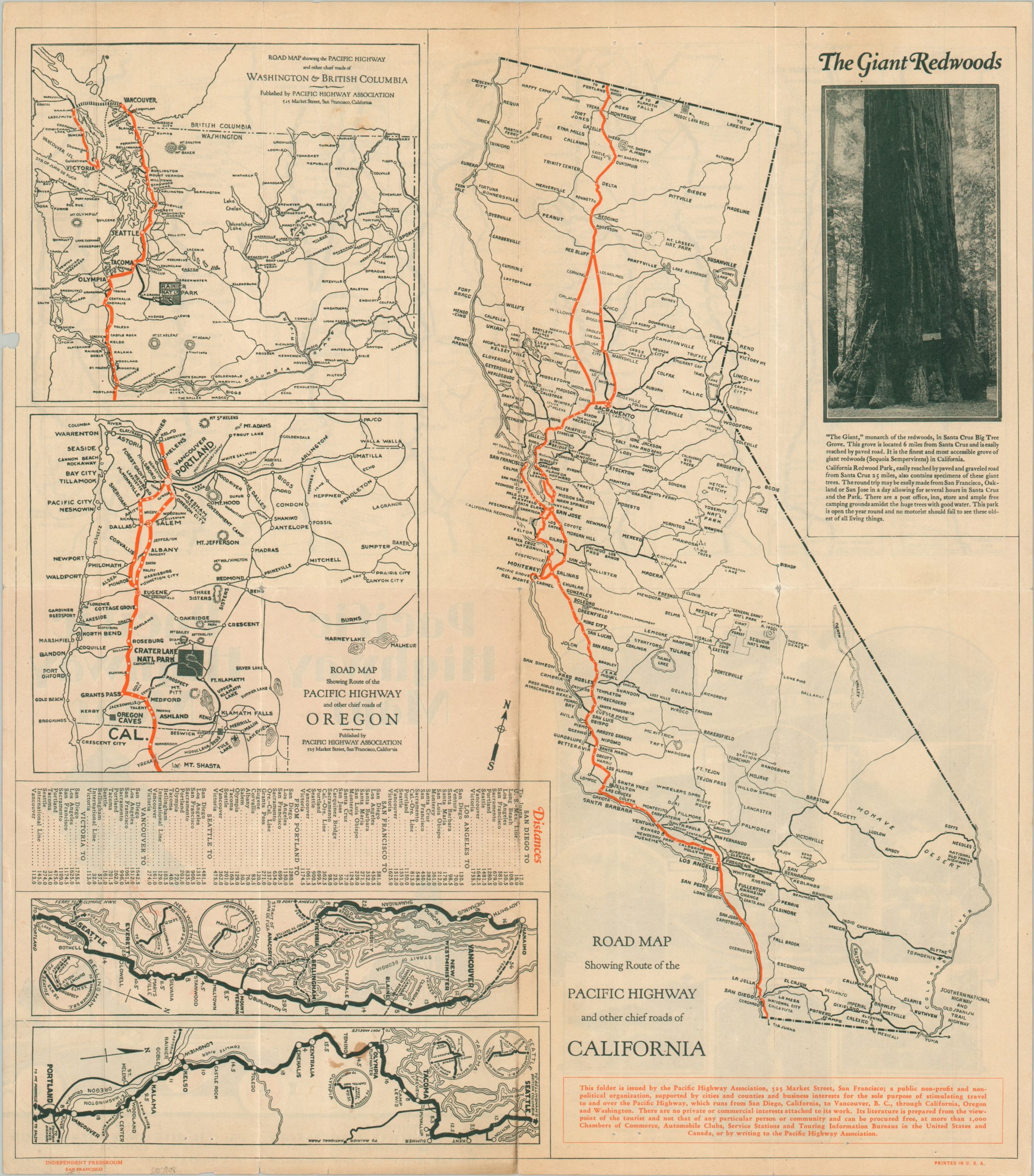
This interesting and unusual compilation of maps showcases the route of the scenic Pacific Highway during the late 1920s. Three primary images highlight the promoted path in bright orange as it traverses the Pacific Coast from British Columbia to the Mexican border. An assortment of ten smaller strip maps offers a more detailed preview of the PCH, noting distances between points, major intersections, geographic features, and local attractions.
While no mention is made of the National Numbered Highway System (introduced in 1926), the undated map was likely issued sometime between 1927 (after completion of the Carquinez Bridge) and 1929 (before the completion of the San Mateo-Hayward Bridge). Published in San Francisco by the Pacific Highway Association. Printed by the Independent Pressroom.
Map Details
Publication Date: c. 1928
Author: Pacific Highway Association of California
Sheet Width (in): 15.75
Sheet Height (in): 18.00
Condition: B
Condition Description: Double-sided brochure with numerous pinholes and scattered spotting/foxing in a few places. Creasing and wear along old folds, generally consistent with age and including a few small marginal tears, toning, etc. Between fair and good condition overall.
$150.00
1 in stock