
Outdoor Play Places of California
$65.00
“A Cartographic Map of Some of the Outstanding Recreational Areas of the Golden State.” – Subtitle
1 in stock
Description
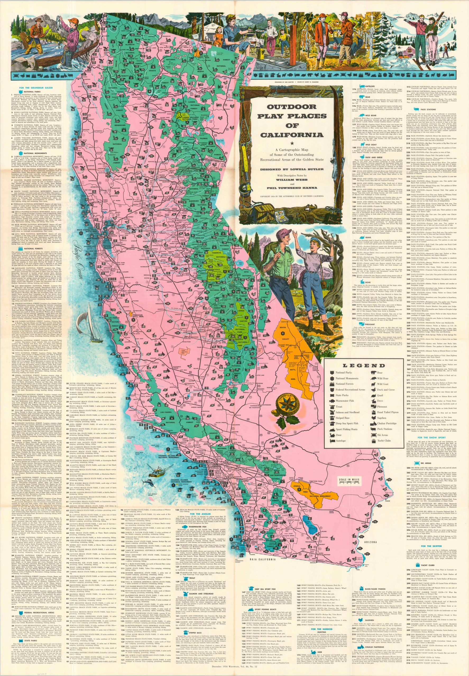
This beautiful map of California celebrates the state’s amazing geographic diversity, bountiful flora & fauna, and abundant climate options. Over three hundred different locations of interest and recreational areas are organized according to their potential audience – Grandeur Gazers, Anglers, Nimrods, Snow Sports, and Skippers. A legend in the lower right helps to de-clutter the image further, identifying the two dozen-plus symbols used throughout.
The work was a collaborative effort involving several talented individuals. Historic research and descriptive notes by Phil Townsend Hanna and William Webb, with cartography by Lowell Butler, drawings by Gordon Brusstar, and color by Harry Diamond. Published in 1954 by the Automobile Club of Southern California.
Map Details
Publication Date: 1954
Author: Lowell Butler
Sheet Width (in): 32
Sheet Height (in): 46
Condition: B+
Condition Description: Large color map, folded into a manageable size with text on the front cover. Creasing and toning along old folds (see upper center in scan), with further discoloration on the verso that does not substantially affect the image. Good condition overall.
$65.00
1 in stock