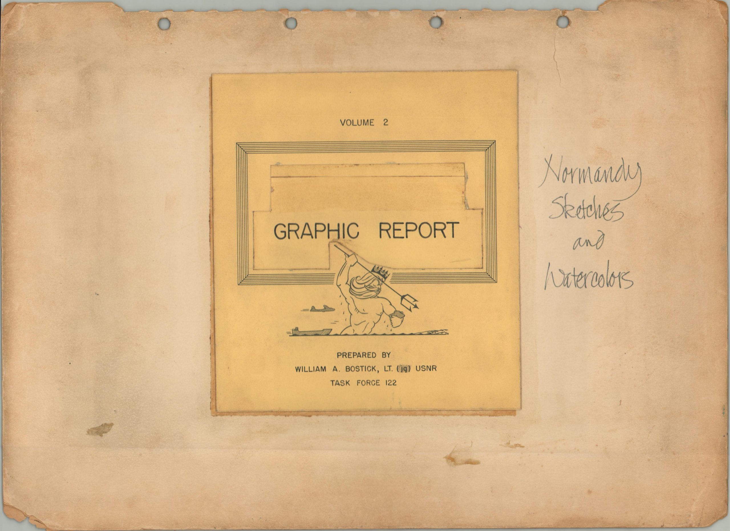
Operation Neptune Graphic Report
A unique firsthand perspective of the greatest military operation ever undertaken in human history.
Out of stock


Description
This remarkable collection of artwork was compiled by Lt. William A. Bostick, a member of Task Force 112 and artist assigned to documenting Operation Neptune, the naval component of Operation Overlord (the D-Day invasion of Normandy). Titled Graphic Report (through Neptune was cut out, per a censor’s note on the verso), the folio contains 17 illustrated sheets that vividly depict the action leading up to June 6th and shortly thereafter – the days immediately following the initial amphibious assaults on the beaches of northern France. Though a foothold had been established, victory was by no means guaranteed and Bostick’s artwork reflects the extensive preparations, chaos of battle, care for the wounded, and prisoner management.
Some of the content is pseudo-propagandistic, encouraging/celebrating positive morale and good behavior among the men. A few of the early watercolors possibly take some artistic license, as an interview with Bostick shows he didn’t hit the beaches until D-Day+1. Each page has been rubber-stamped and signed on the verso by at least two, usually three censors. Bostick’s signature and the year (1944) are also present on every sheet.
Interesting elements captured within the various scenes include the importance of accurate maps for landing success, specialized equipment (e.g. tank snorkels), and the vast logistical scope of the invasion force. The majority of the images are accompanied by descriptive captions, replicated below. Some of the entries have lines crossed out or added, reflecting the working nature of the document prior to its final approval and distribution. The text has been transcribed to its fullest.
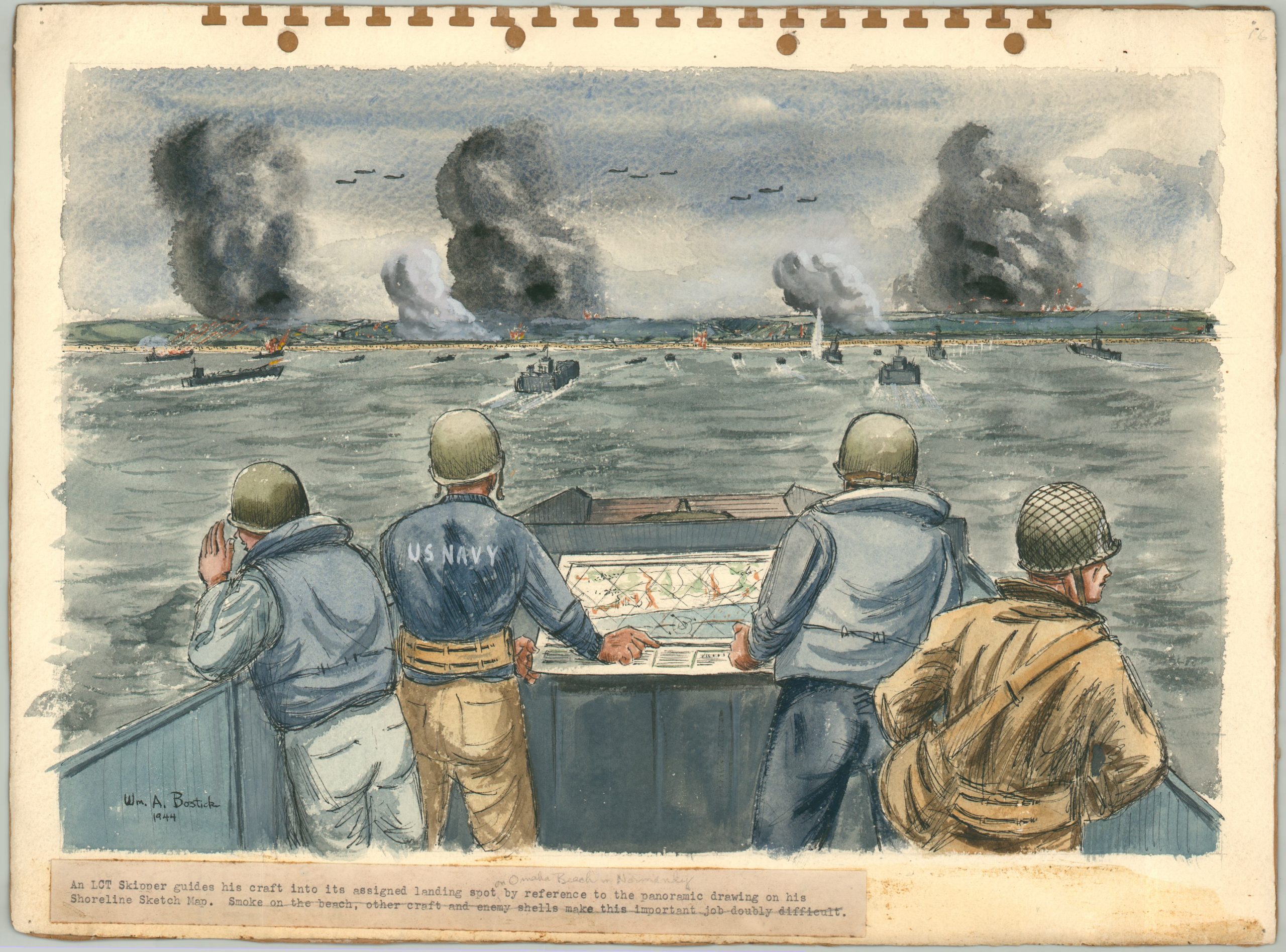
- An LCT Skipper guides his craft into its assigned landing spot on Omaha Beach in Normandy by reference to the panoramic drawing on his Shoreline Sketch Map. Smoke on the beach, other craft, and enemy shells make this important job doubly different (full watercolor)
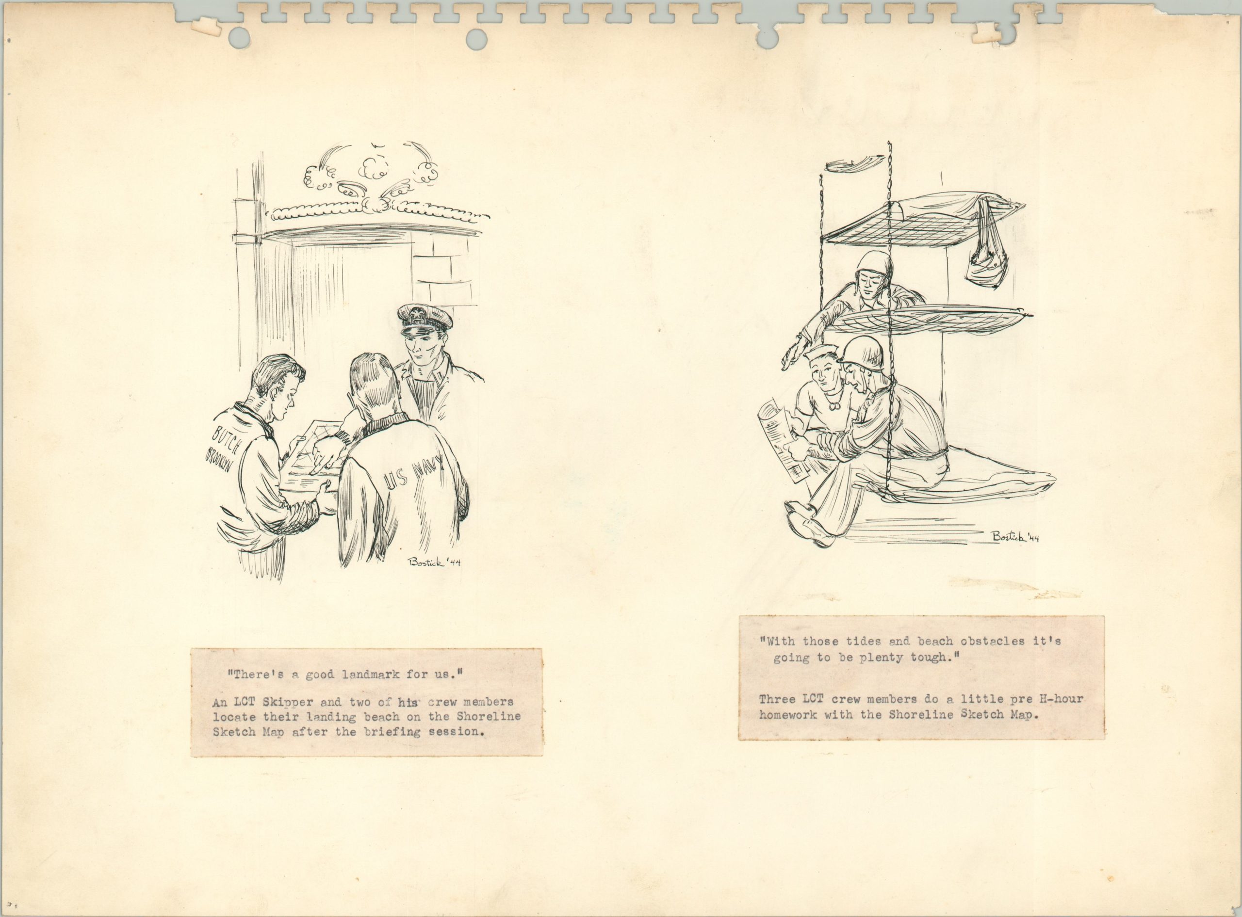
- “There’s a good landmark for us.” An LCT Skipper and two of his crew members locate their landing beach on the Shoreline Sketch Map after the briefing session / “With those tides and beach obstacles its going to be plenty tough.” Three LCT cre members do a little pre H-hour homework with the Shoreline Sketch Map (ink sketches)
- Loading the LCI(L)’s – Troops go aboard from the dock (full watercolor)
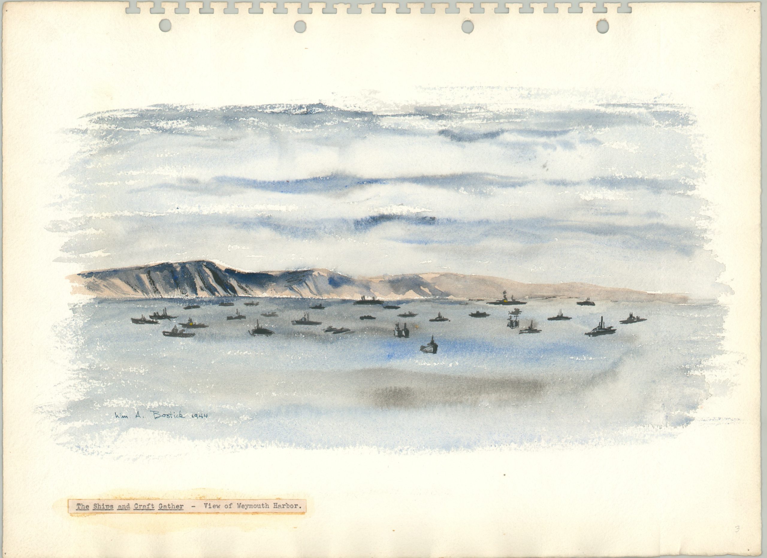
- The Ships and Craft Gather – View of Weymouth Harbor (full watercolor)
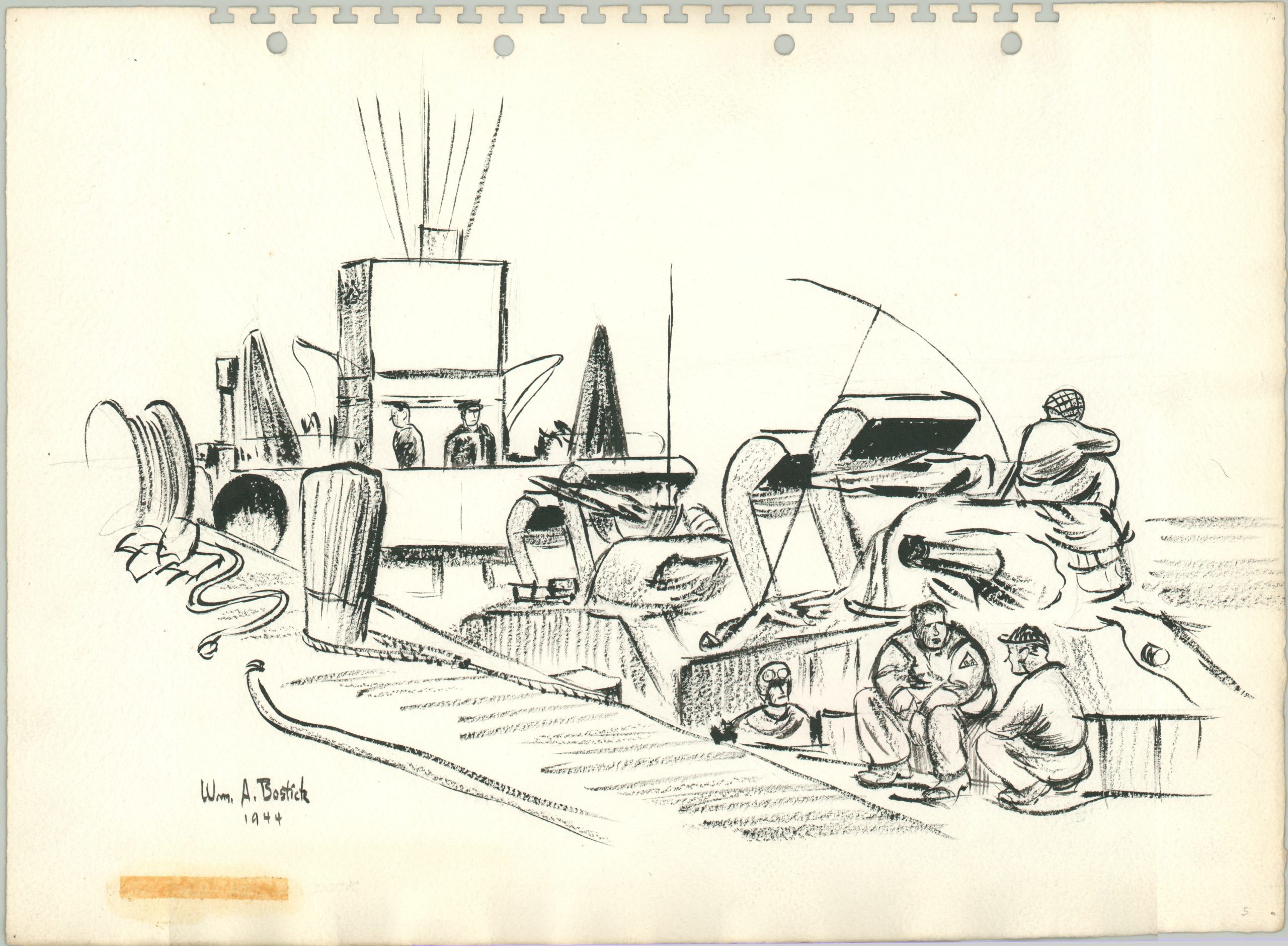
- [Caption Lost] Black & White View of an LCT (pencil and charcoal sketch)
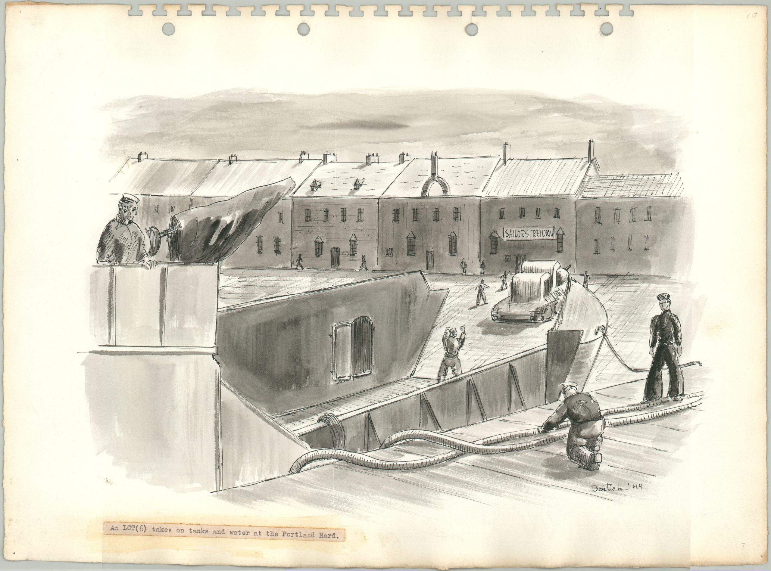
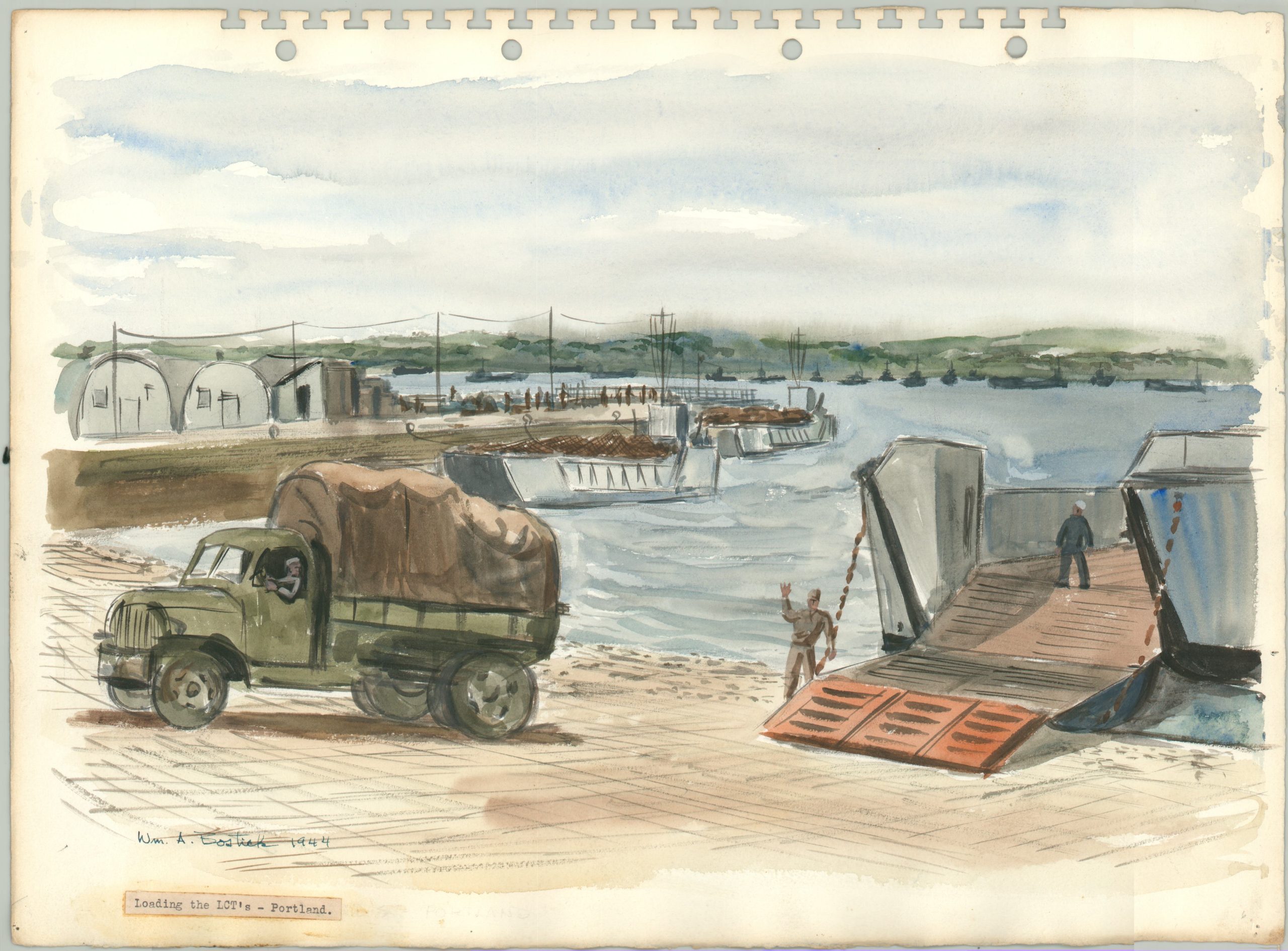
- Loading the LCT’s – Portland (full watercolor); An LCT(6) takes on tanks and water at the Portland Hard (monochrome watercolor)
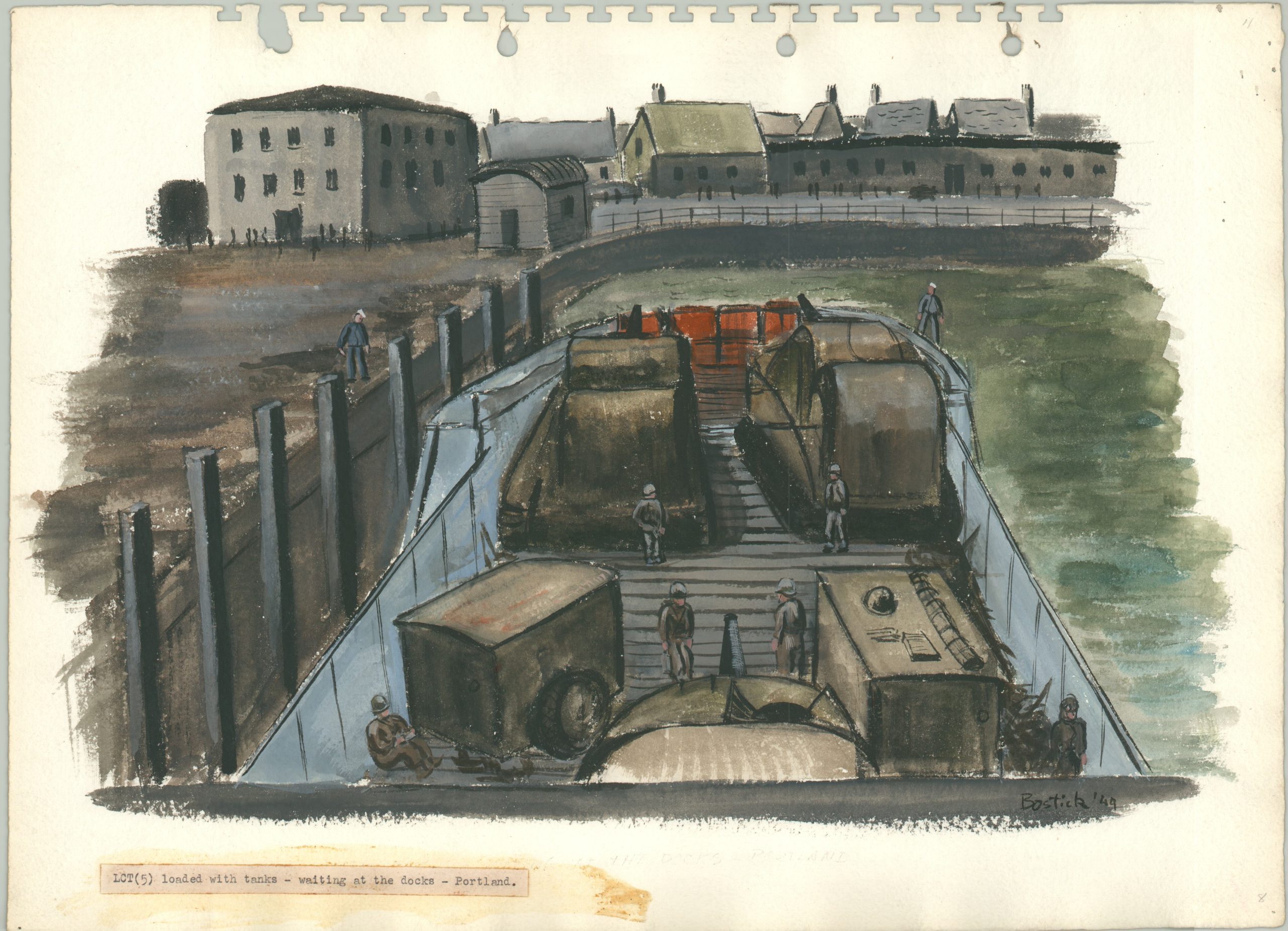
- LCT(5) loaded with tanks – waiting at the docks – Portland (full watercolor)
- Last-minute welding repairs on an LCT hull made from a tiny rowboat alongside (full watercolor)
- A Navy Beach Battalion doctor and his medical corpsmen treat army casualties on the shingle ridge at the back of the beach. Wounded are loaded onto LCVP’s for ferrying to the transports (monochrome watercolor)
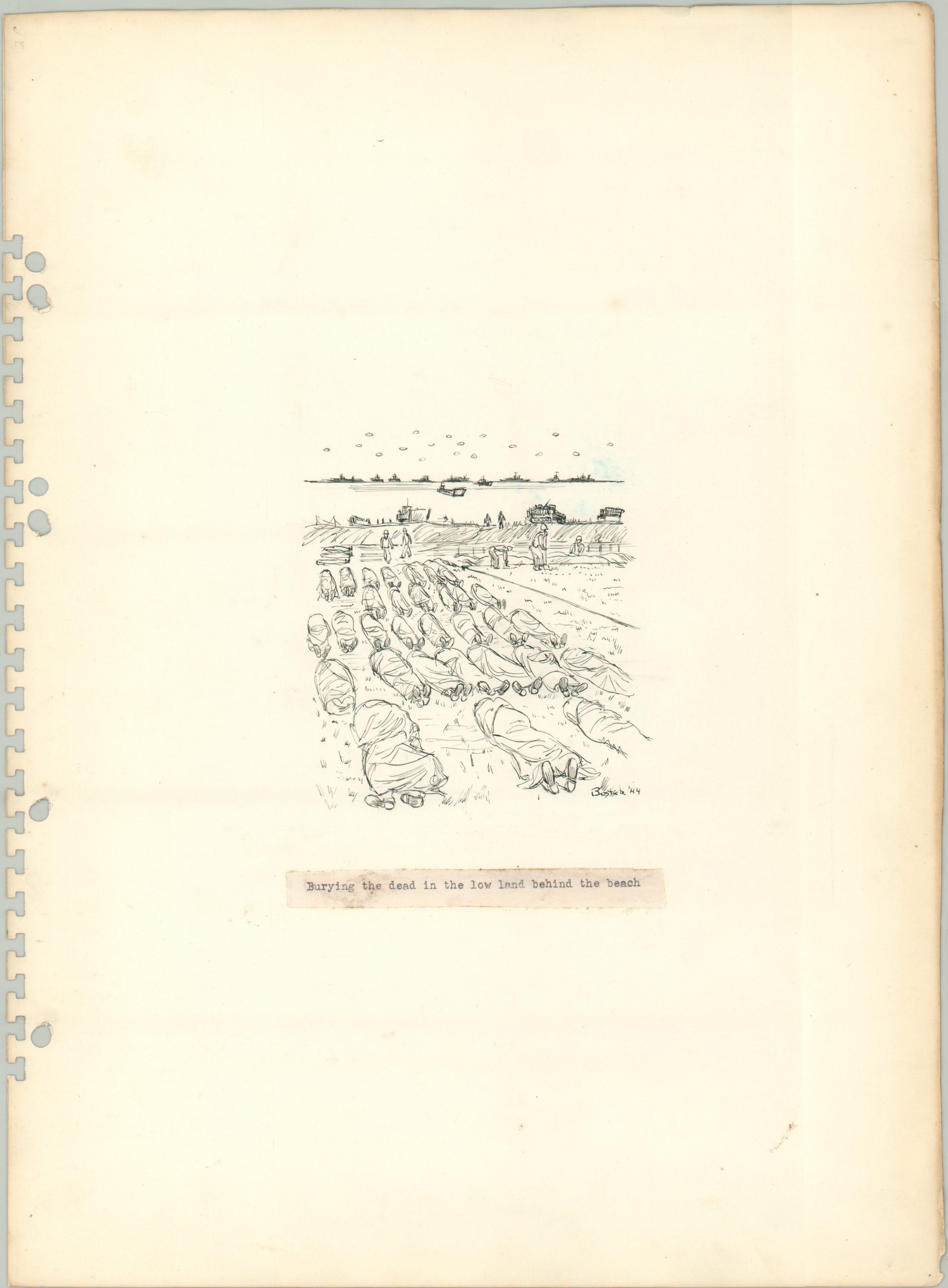
- Burying the dead in the low land behind the beach (ink sketch)
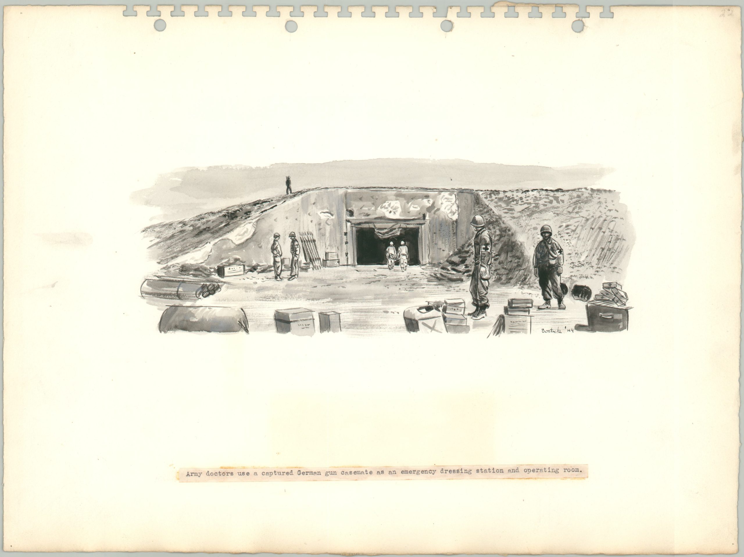
- Army doctors use a captured German gun casemate as an emergency dressing station and operating room (monochrome watercolor);
- “Signal them to land here.” A Beach Battalion Officer locates a landing spot for incoming craft on the Shoreline Sketch. His signalman prepares to send the instructions by flashing light. (ink sketch);
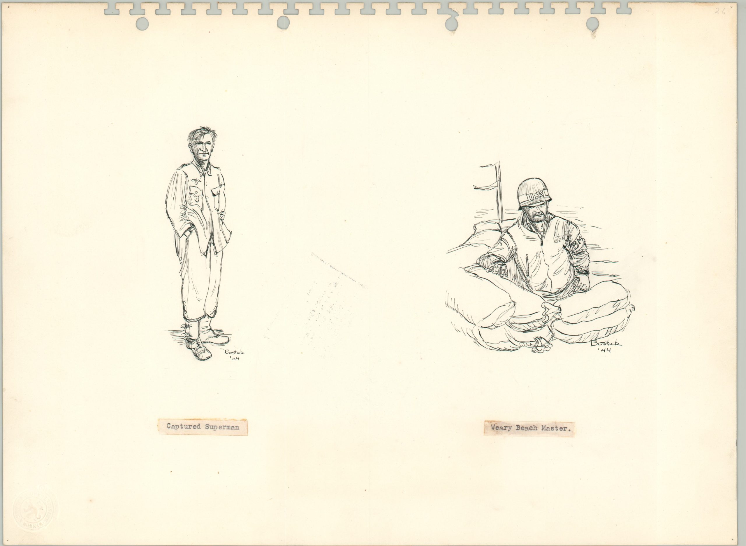
- Capture Superman / Weary Beach Master (ink sketches)
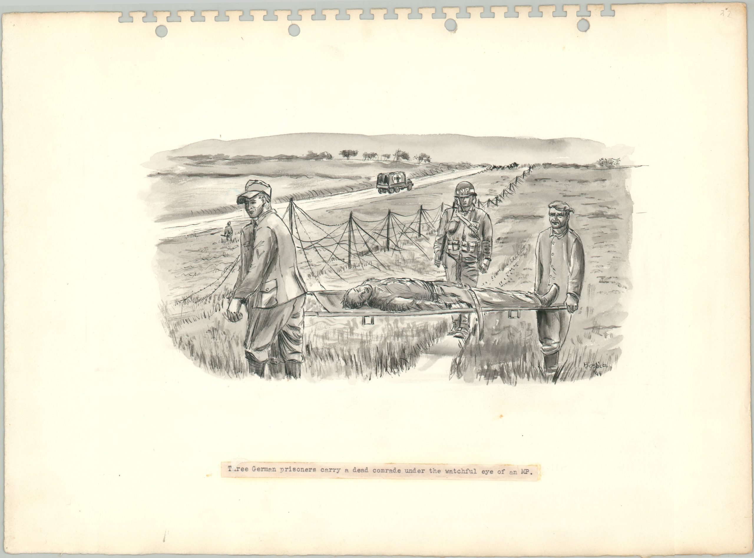
- Three German prisoners carry a dead comrade under the watchful eye of an MP. (monochrome watercolor)
- View of Omaha Beach looking West from captured German pillbox showing gunfire coverage possible from this angle and elevation (full watercolor)
- Wounded are unloaded from an LCT as reinforcement troops go aboard (ink sketch)
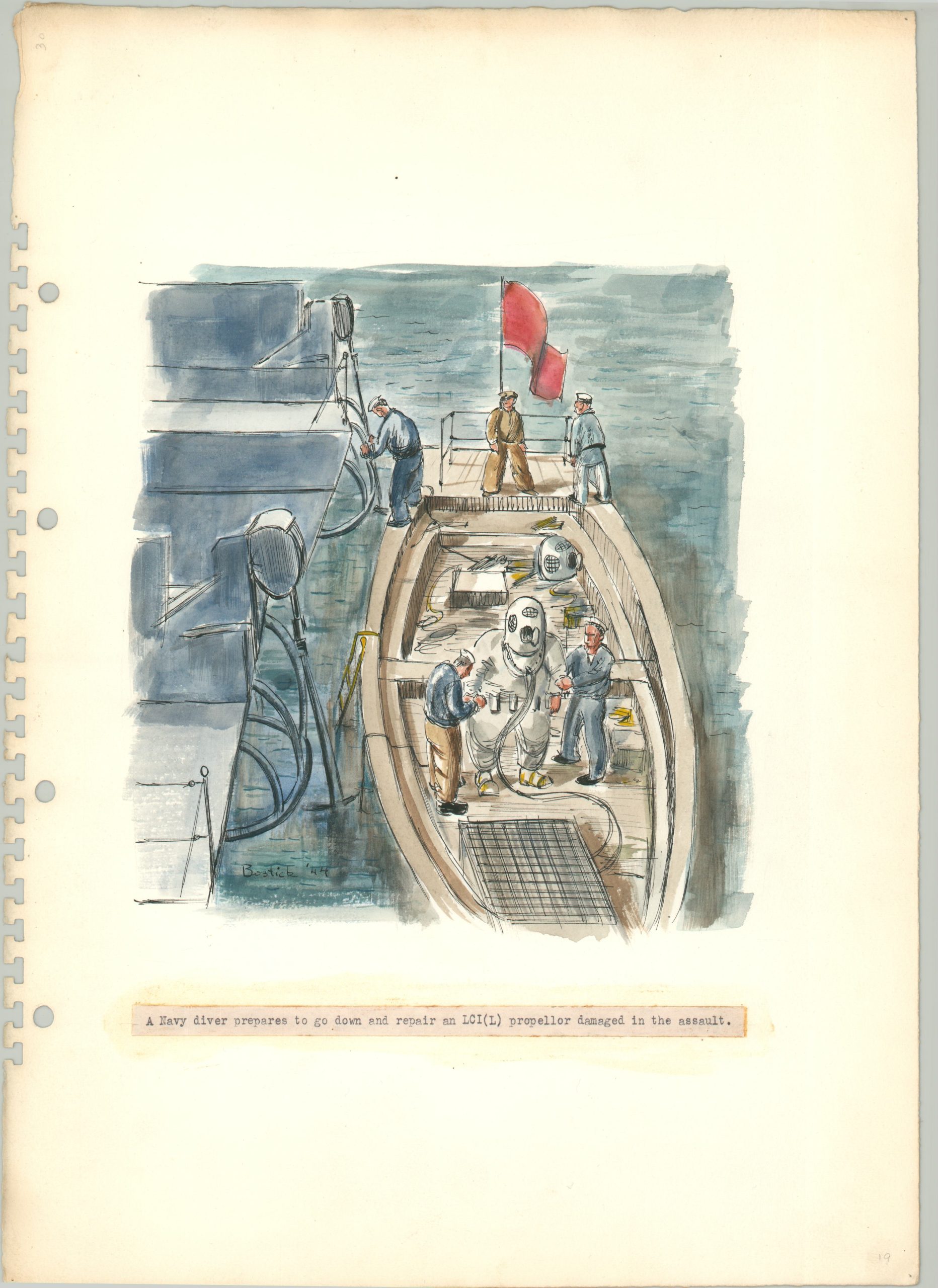
- A Navy diver prepares to go down and repair an LCI(L) propellor damaged in the assault (full watercolor)
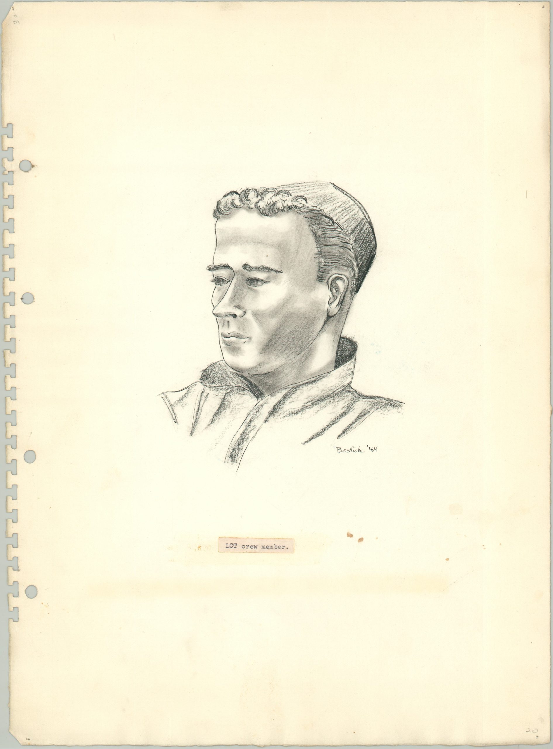
- LCT Crew Member (pencil and charcoal sketch)
William Bostick played a vital role in the ultimate success of Operation Neptune – more so than his brilliant visual recollections captured here. Working in a cramped London apartment, Bostick was one of several BIGOTED (provided with top-secret security clearance) artists assigned to create the actual maps used for the beach landings at Utah and Omaha (he previously assisted on the invasion maps for Sicily, as well). He cleverly utilizes watercolors to emphasize geographic features and prominent landmarks – visible in a narrow strip along the bottom of the maps. Bostick also pioneered the use of a transparent overlay for determining the water depth for different landing craft; a crucial element when piloting the treacherous waters of the English Channel. For his impressive contributions to the war effort, William Bostick received a Navy Commendation Ribbon.
Sources: Bostick Landing Maps at the Library of Congress; United States Navy Memorial; Smithsonian Archives of American Art (Oral Interview); AskArt; Untold Stories of D-Day; The Amphibious Sketch (written by Bostick) at the Ike Skelton Combined Arms Research Library.
Map Details
Publication Date: 1944
Author: Lt. William Bostick
Sheet Width (in): 15.25
Sheet Height (in): 11.1
Condition: A-
Condition Description: Collection of 18 sheets featuring 20 drawings - 7 in full watercolor, 4 monochrome watercolors, 9 sketches (mix of pencil, ink & charcoal). Disbound from original stiff paper covers (present) with a broken spiral binding. Each done by hand on thick rag paper and most feature a printed caption, pasted on immediately below the image. Scattered soiling and discoloration, especially from the old adhesive, but overall in very good condition. Each sheet retains its vibrant original color (where applicable) and reflects an intimate personalized depiction of the Normandy campaign.
Out of stock