
Old Town Chicago, Illinois
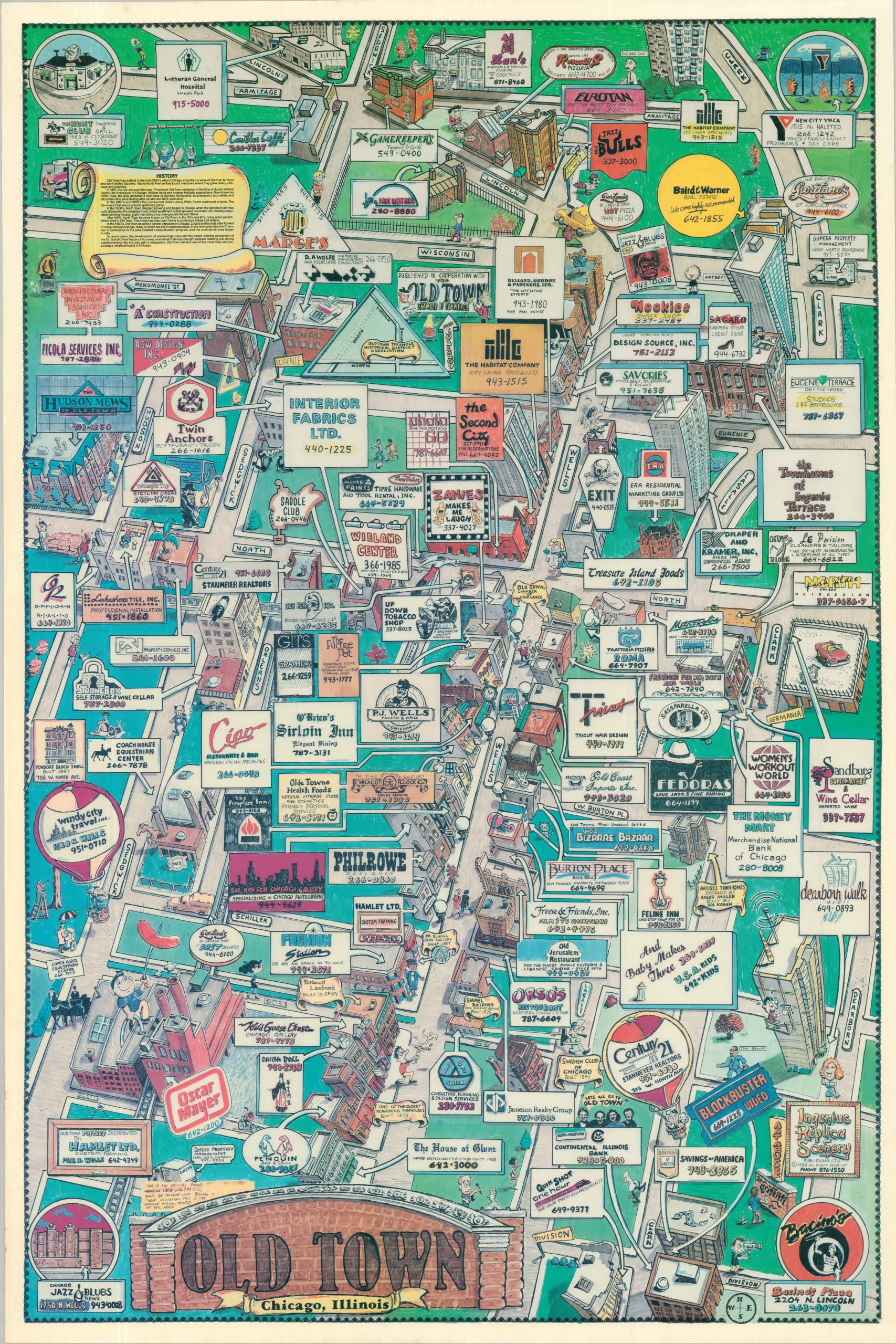
Chicago’s Old Town neighborhood in the late 1980s.
Out of stock
Description
A marvelous late 20th century look at Chicago’s Old Town neighborhood between Clark and Sedgwick. Predating the gentrification of the 21st century, the image shows the Oscar Mayer wiener factory and an equestrian training center alongside historic mixed-use architecture and a handful of mid-rises. Large condo buildings, like Eugenie Terrace, were available closer to Lincoln Park, which is oddly omitted from the image entirely.
Dozens of businesses are labeled throughout the colorful cartoon image, including Second City, Marge’s, Twin Anchors, and the Fudge Pot.
Map Details
Publication Date: 1988
Author: Ingenius Replica Scenery Publishing, Ltd.
Sheet Width (in): 24.10
Sheet Height (in): 36.00
Condition: B+
Condition Description: Color printed map on a single-sided sheet of glossy paper. Faintly wrinkled in a few spots and light wear in the margins. A bit of toning in the color. Good to very good condition overall.
Out of stock