Okinawa
‘Eighty First’ News Map from the Battle of Okinawa (Operation Iceberg)
Out of stock
Description
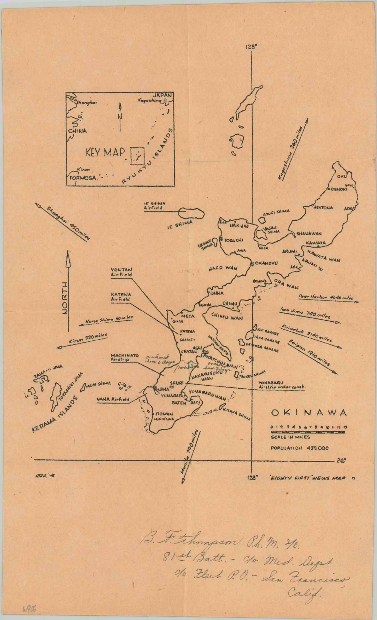
This somewhat simple outline map of the island of Okinawa was published in 1945 by the 81st Naval Construction Battalion, affectionately known as ‘Seabees.’ The image labels important settlements, military installations, and geographic features. An inset in the upper left shows the relative location of the Ryukyu Islands to the coasts of Japan and China.
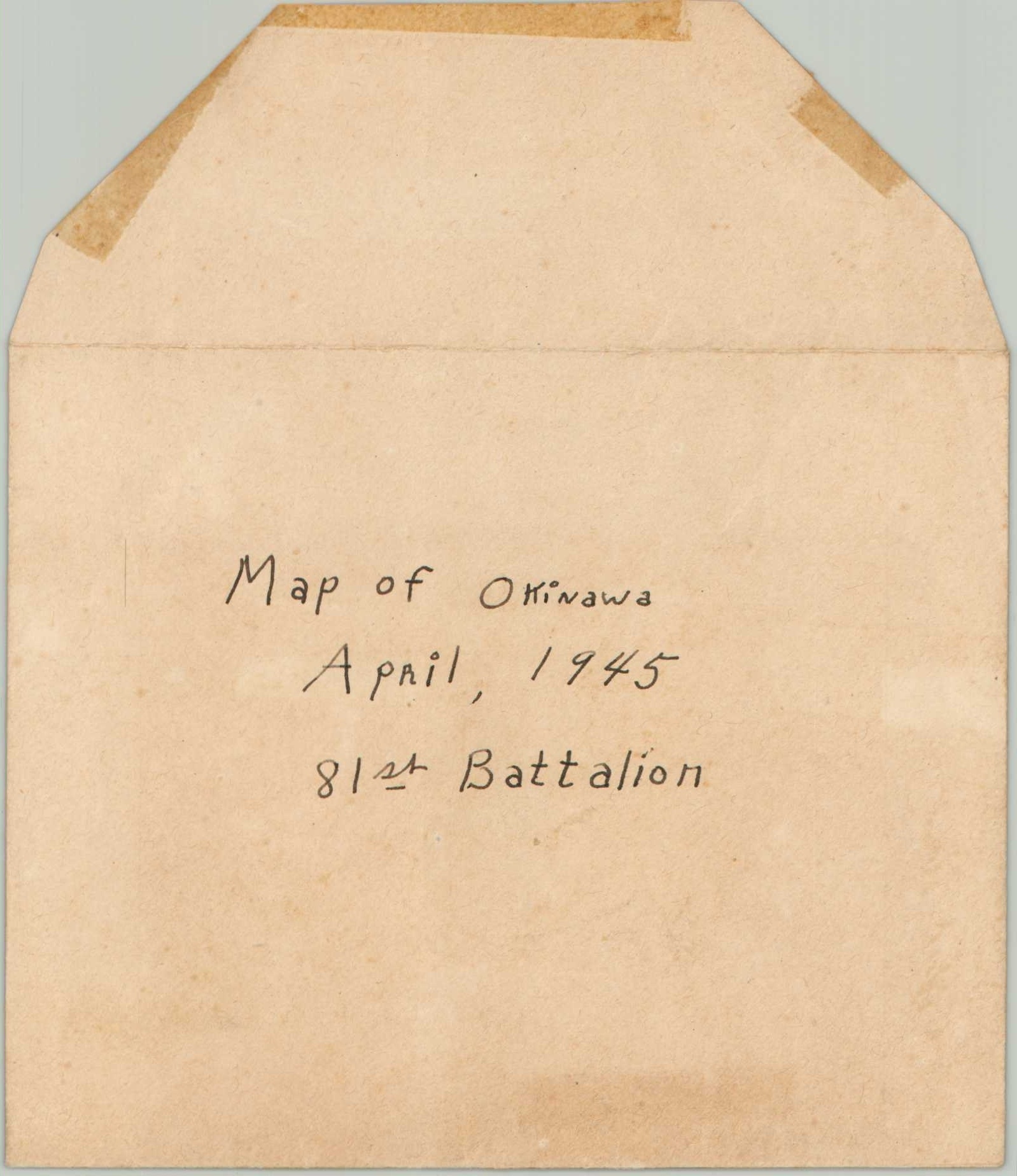
According to the handwritten text at the bottom of the page, the sheet was owned by B.F. Thompson, Commanding Officer of the unit’s Medical Department. Additional annotations identify locations where the 81st Battalion was anchored off the coast, as well as the frontline in the ongoing battle for the island. Confirmed by the official unit history, the battalion dropped anchor off Hagushi Beach on April 22nd before raising anchor three days later and deploying on the opposite coast, near Nakagusuki Wan.
Source: 81st Naval Construction Battalion Historical Information
Map Details
Publication Date: 1945
Author: 81st Naval Construction Battalion
Sheet Width (in): 7.9
Sheet Height (in): 12.7
Condition: B+
Condition Description: Printed on toned paper with creasing along old fold lines. Several handwritten annotations throughout. An irregular tear, about 3", has been repaired on the verso (otherwise blank) with archival tape. Includes original envelope.
Out of stock