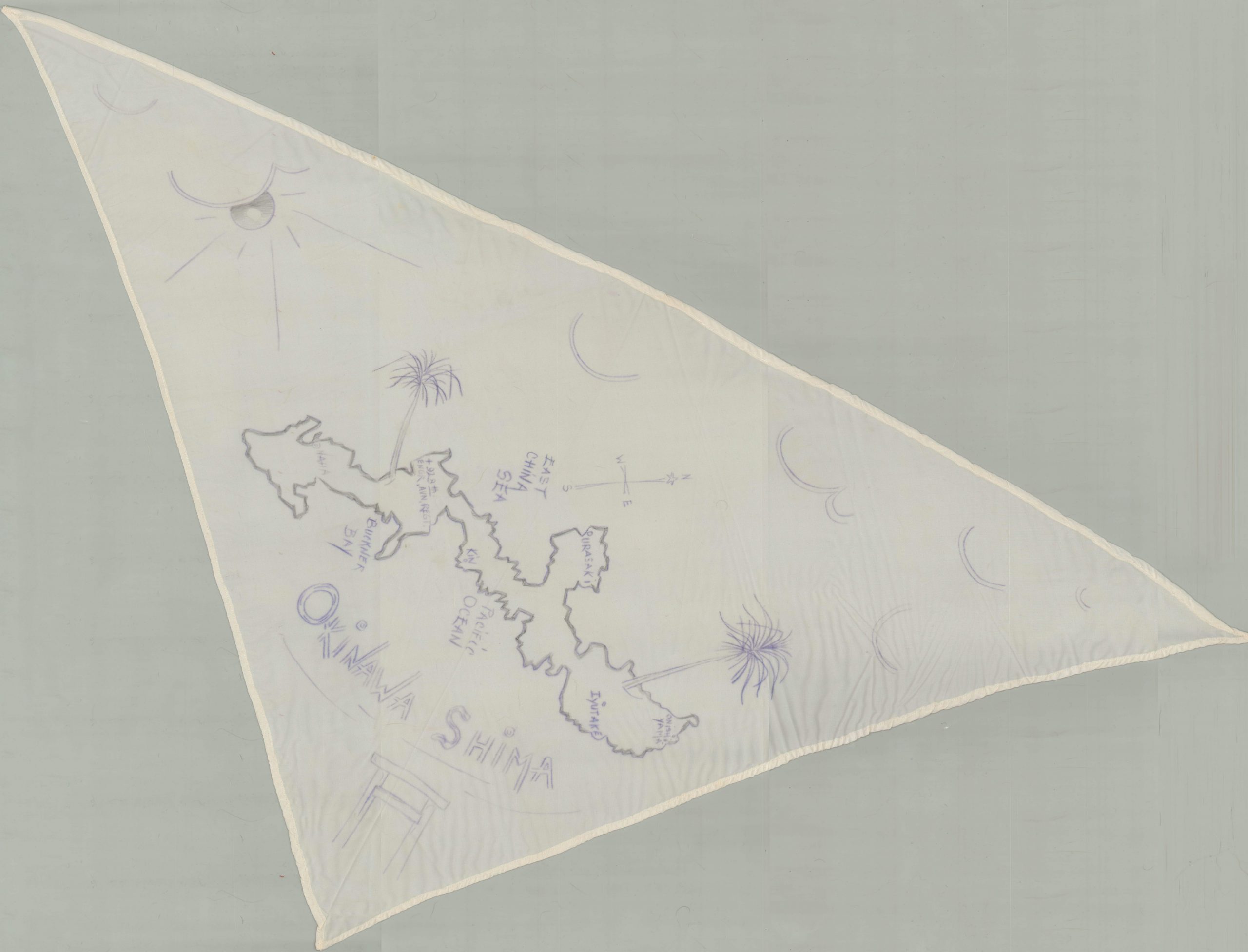
Okinawa Shima
Anonymous manuscript map of Okinawa, drawn on a silk scarf.
Out of stock
Description
This magnificent textile map was most likely created during the final months of WWII by a member of the 928th Engineer Aviation Regiment while stationed on Okinawa. A basic outline of the island is provided, along with the locations of major urban centers and a few scattered geographic features. Exaggerated illustrations of the sun, clouds, and palm trees likely reflect the high points of the soldiers stationed there.
A Japanese torii can be seen immediately below the title. These gateways are most often associated with Shinto shrines, and are used to mark the entrances to sacred spaces.
Map Details
Publication Date: c. 1945?
Author: Anonymous
Sheet Width (in): 41.5
Sheet Height (in): 22
Condition: A-
Condition Description: Triangular silk handkerchief with extensive creasing. Gray outline map with purple ink highlights.
Out of stock