Ohman’s New Relief Map of the United States and Adjoining Portions of Canada and Mexico
Wall map of the United States published for the country’s 450th anniversary and featuring advertisements for Coca-Cola.
Out of stock
Description
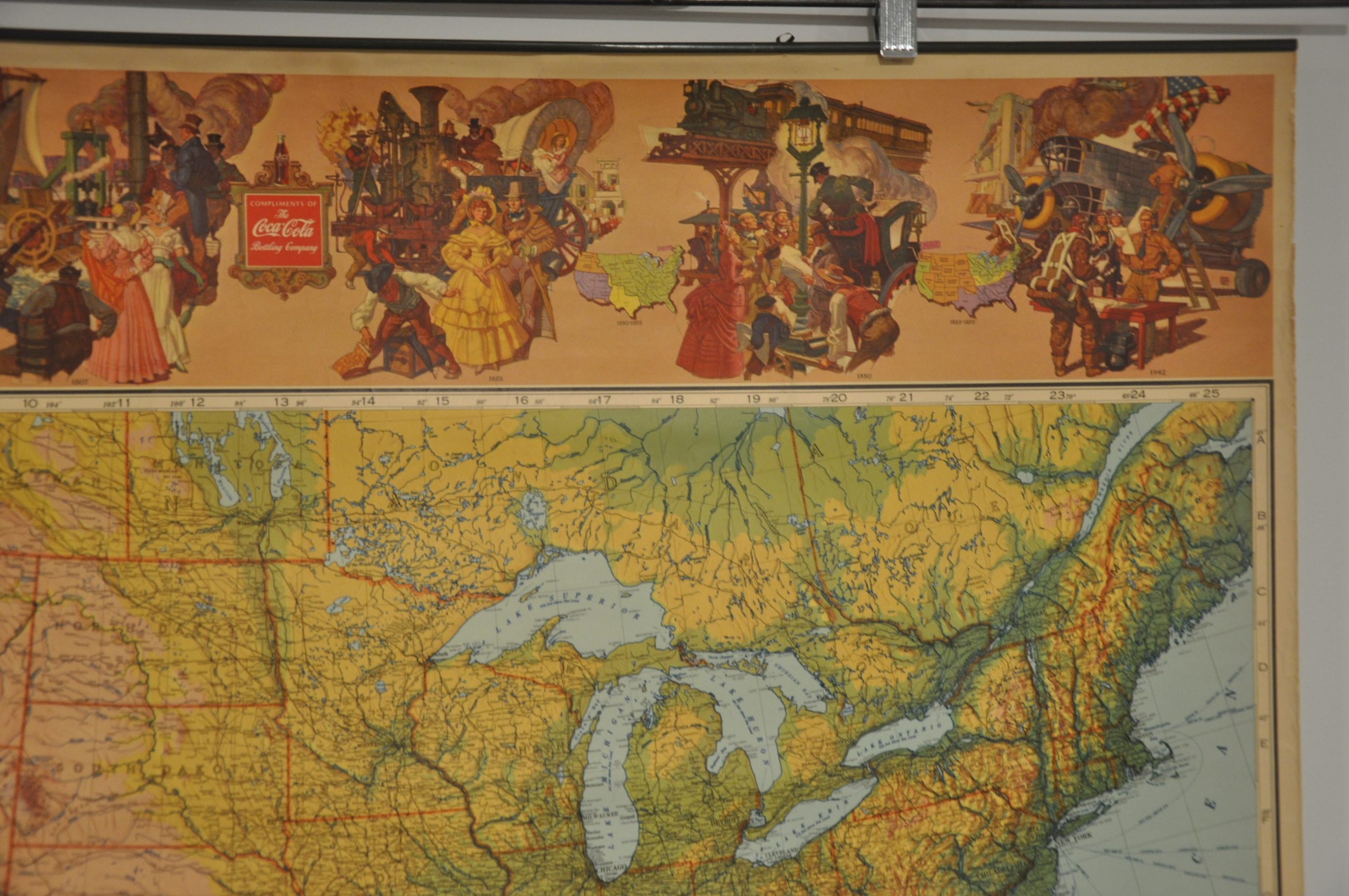
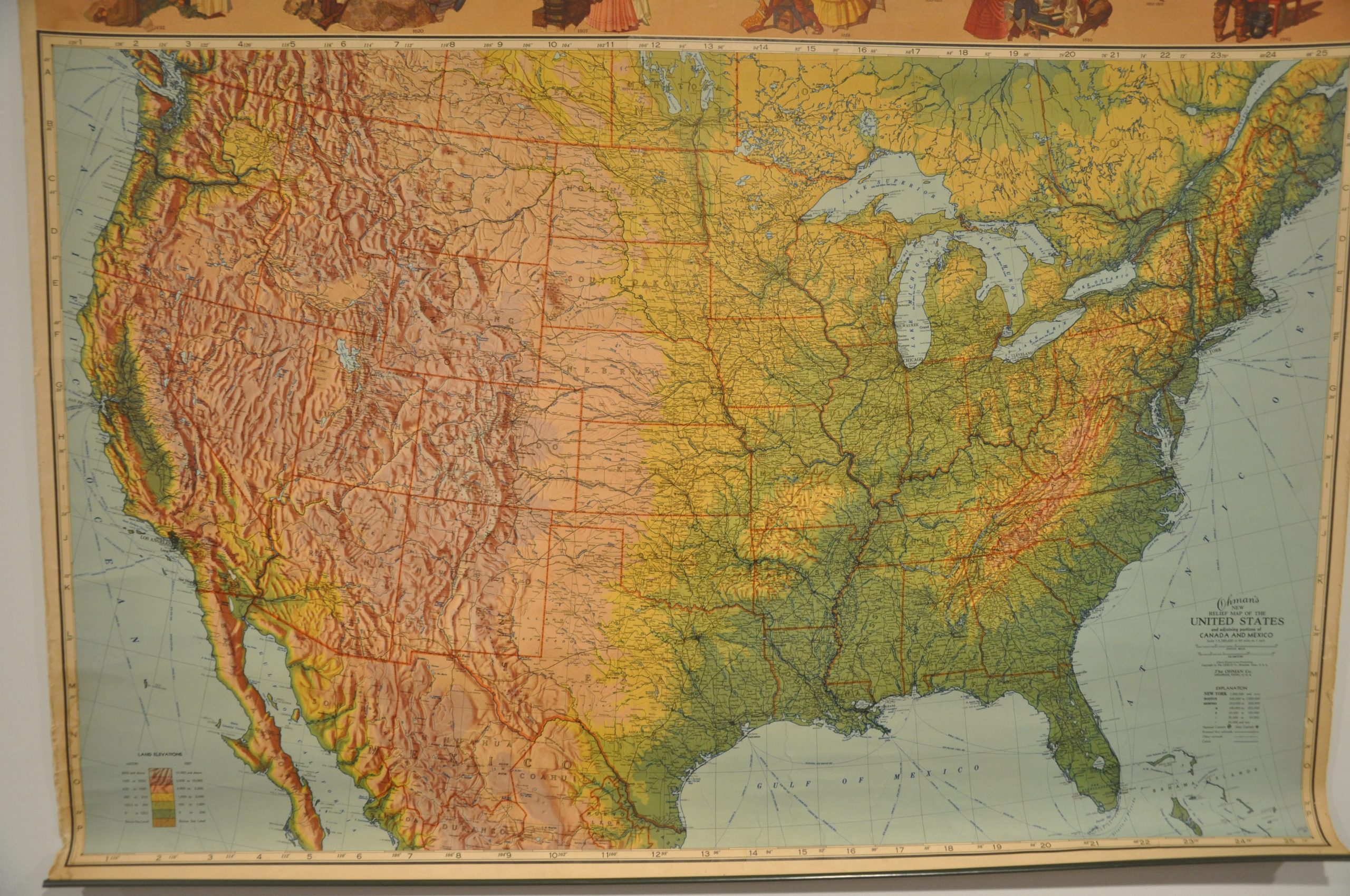
This vibrantly colored relief map of the United States was published in Memphis, Tennessee by the Ohman Company in 1942. The sheet was issued to commemorate the 450th anniversary of Columbus’ ‘discovery’ of the New World, and includes a series of six vignettes across the top of the sheet that chronicle America’s development across the continent. The final illustration is a patriotic reference to the ongoing Second World War.
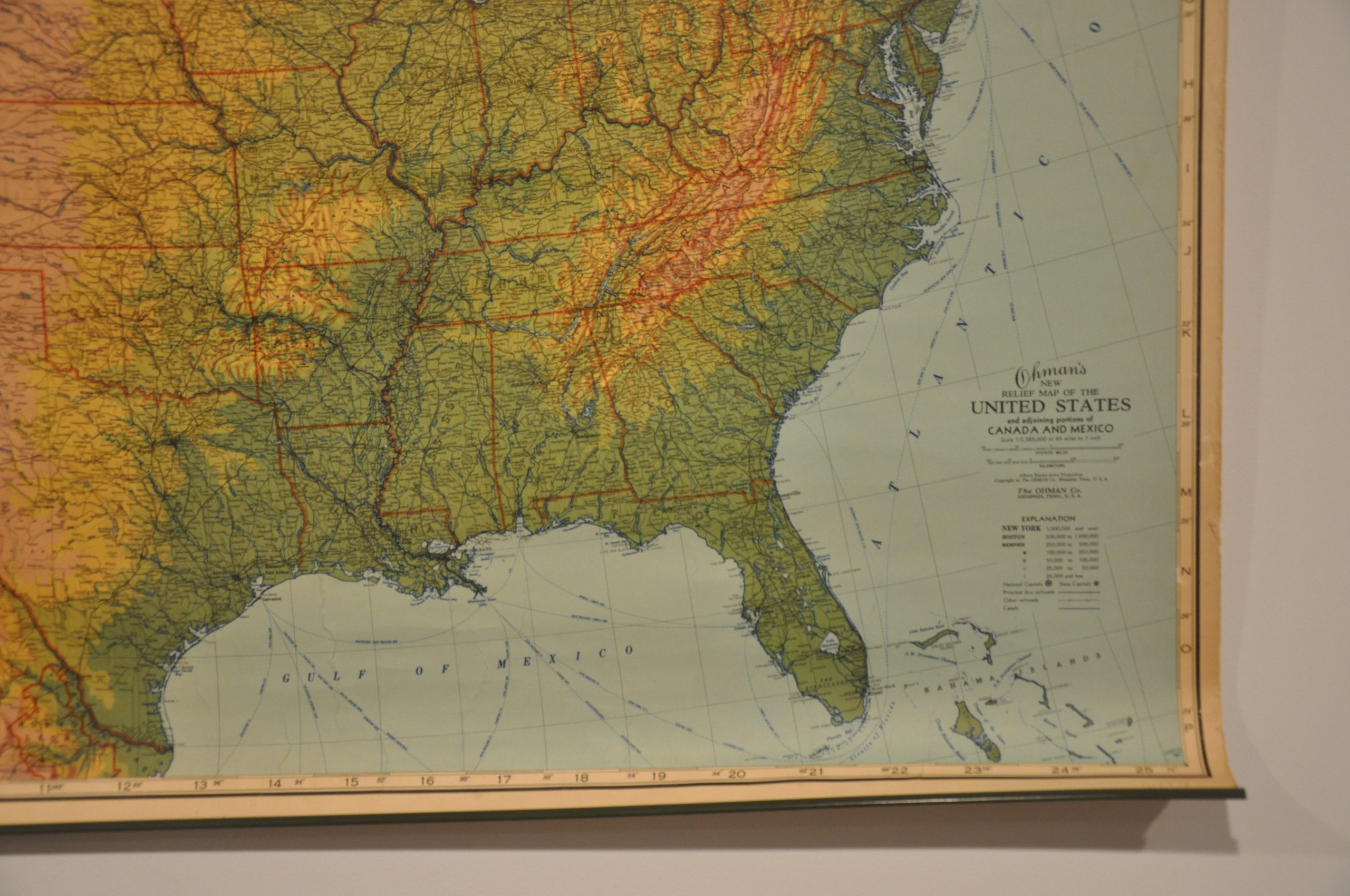
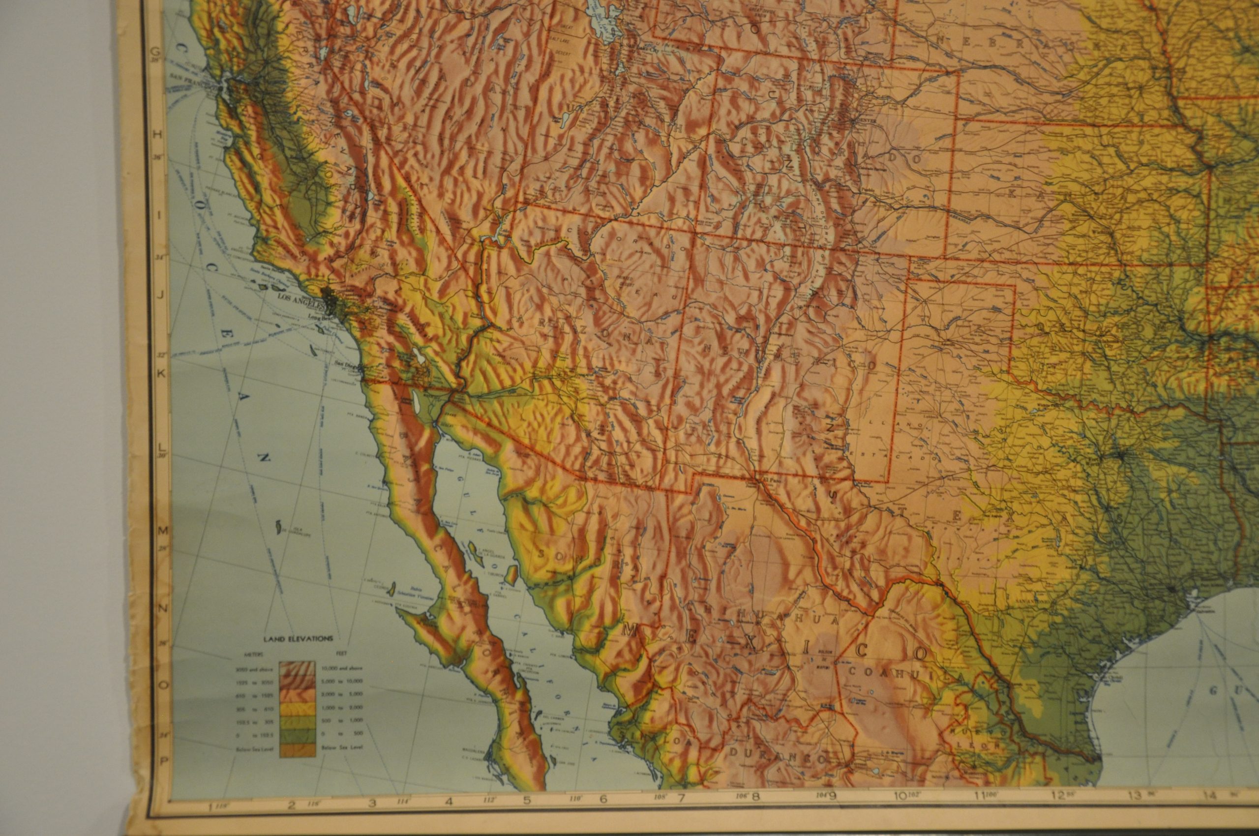
While patriotism is nice, capitalism is king in cartography. An advertisement for Coca-Cola can be seen prominently in the center. The map itself emphasizes the topography of the contiguous United States and uses a variety of colors to highlight different elevations. Transportation routes such as canals, railroads, highways and shipping lanes are also noted.
Map Details
Publication Date: 1942
Author: The Ohman Co.
Sheet Width (in): 35.75
Sheet Height (in): 28.75
Condition: A-
Condition Description: Wall map mounted on upper and lower metal rollers. Light wear to moderate wear along the outer edges, most notably in the lower left, and a bit of extraneous creasing from where the map was previously rolled. Remains in very good condition overall, a clean sheet with bright color.
Out of stock


