Official State Road Map of Florida
Colorful state issued road map of Florida from 1944.
Out of stock

Description
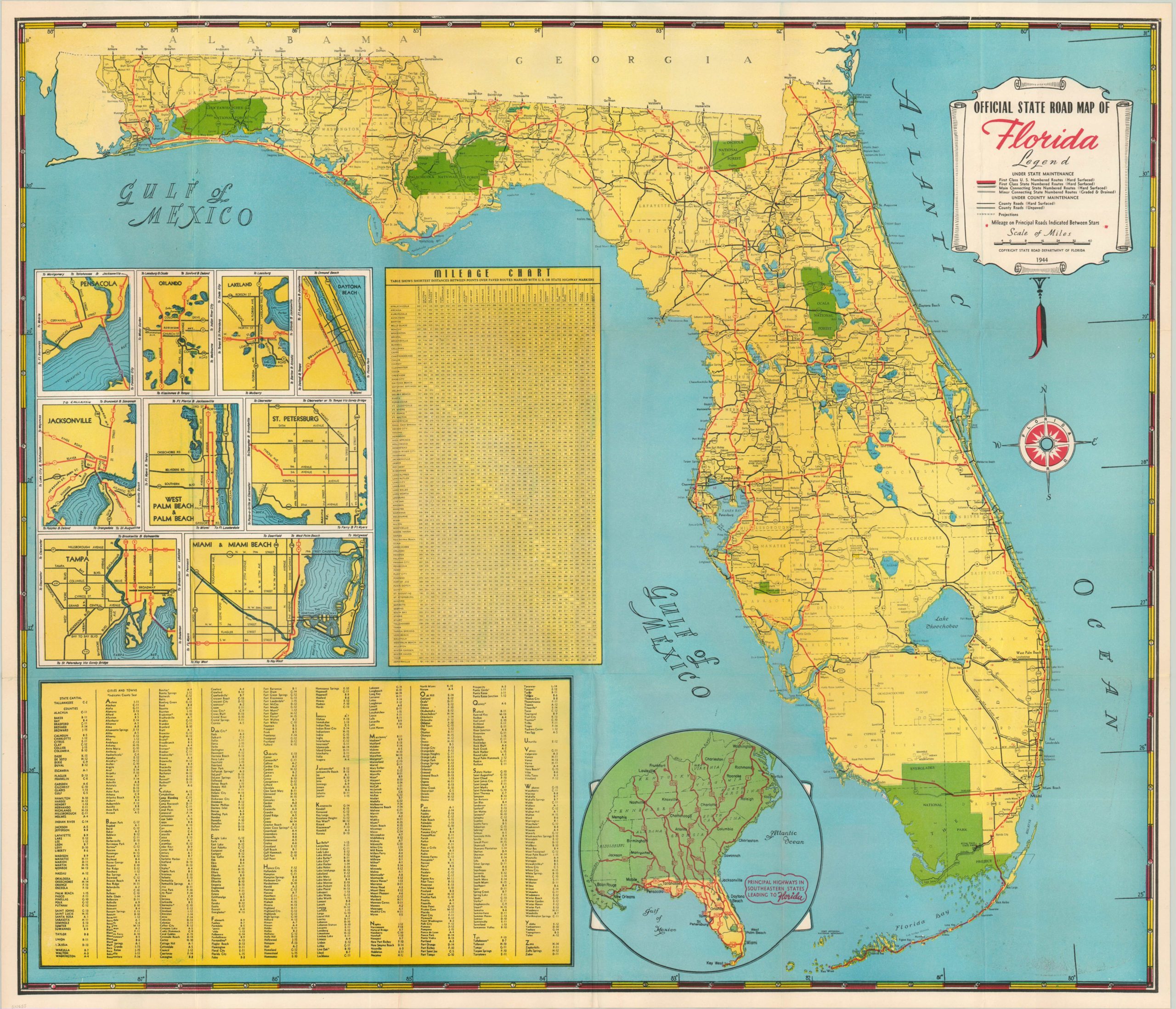
There is little on this map to remind the reader of the ongoing war in Europe and the Pacific, perhaps intentionally. Apart from a few nondescript military bases tucked between the names of towns and counties, the map focuses entirely on the road system within the state of Florida.
National and state highways, plus roads of varying surfaces are labeled according to the legend under the title, with inset maps of major cities providing some large scale detail. A mileage chart and index of towns provide further assistance to the motorist.
The lighthearted side of Florida is exhibited on the verso, with a pictorial map of the state and numerous color photographs of local attractions.
Map Details
Publication Date: 1944
Author: State Highway Department
Sheet Width (in): 30.10
Sheet Height (in): 26.00
Condition: A-
Condition Description: Fold lines as issued and very faint offsetting in the lower right.
Out of stock