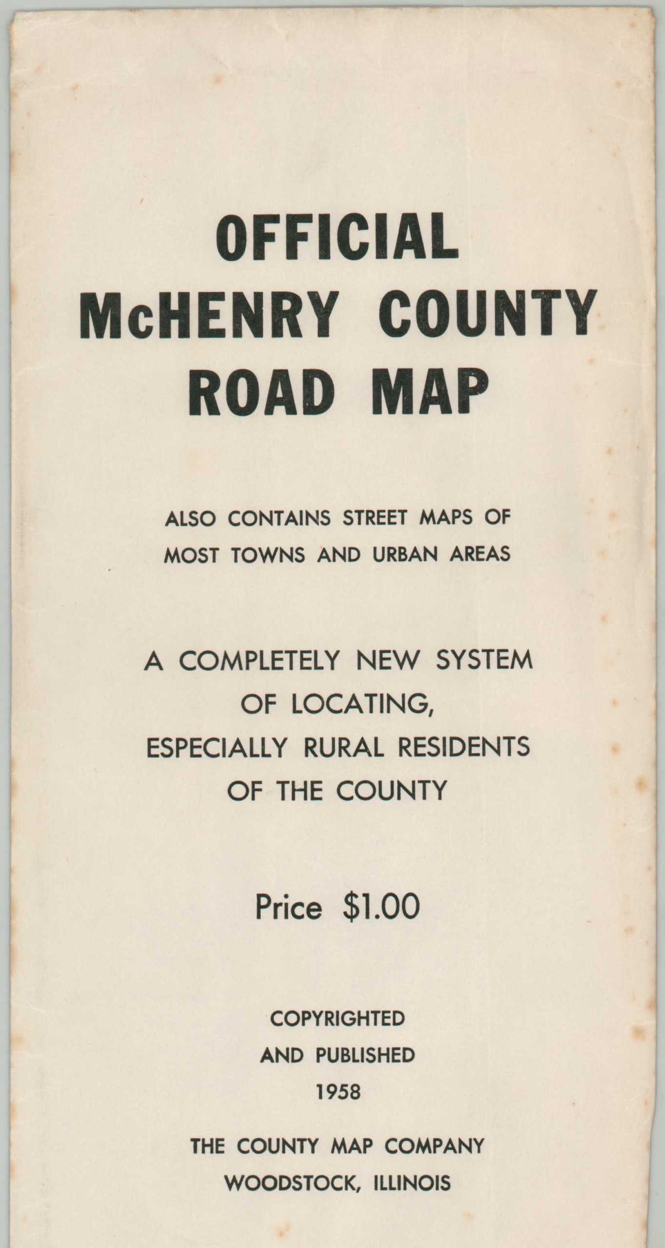
Official McHenry County Road Map
$95.00
“A Completely New System of Locating, especially Rural Residences of the County.” – Envelope
1 in stock
Description
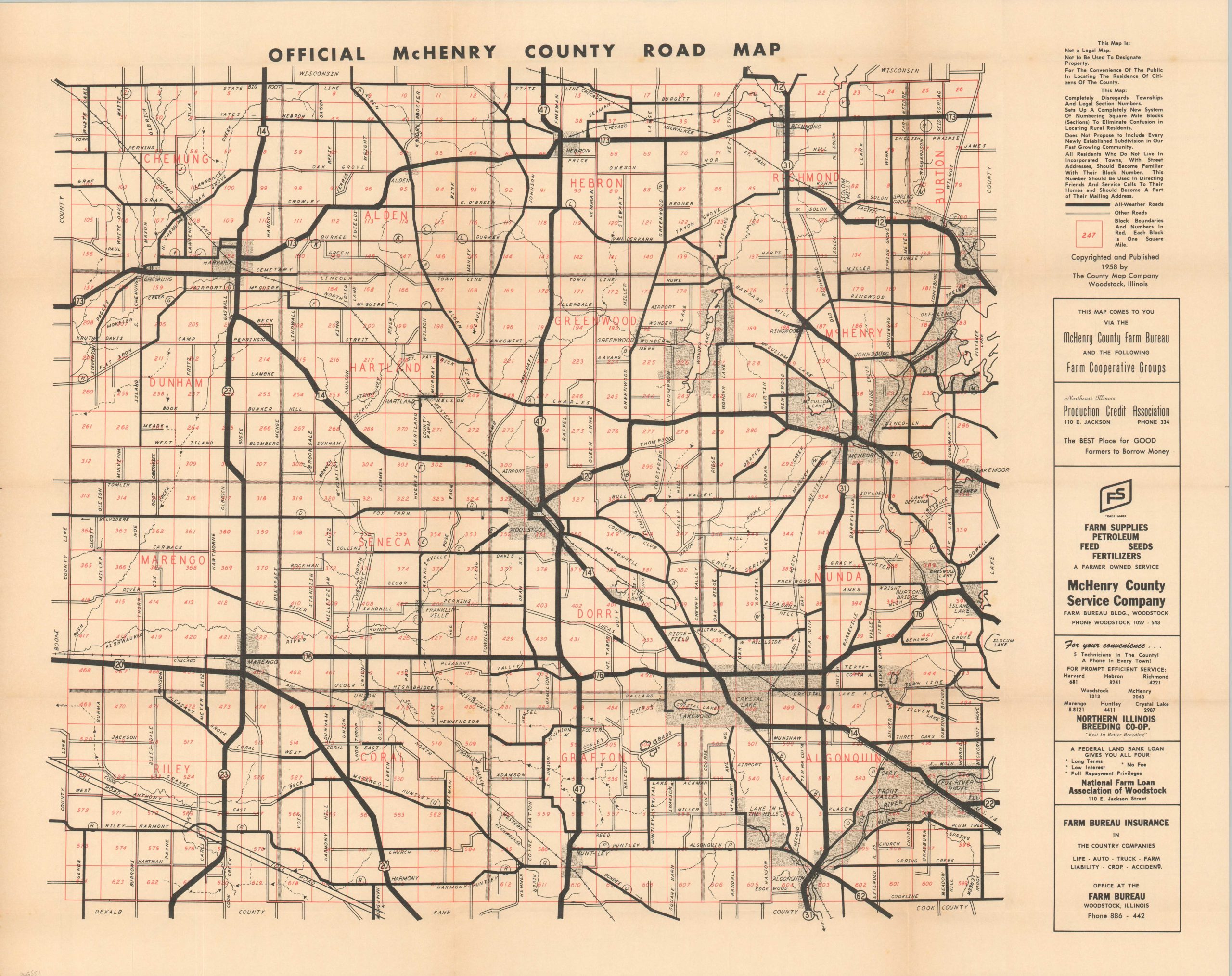
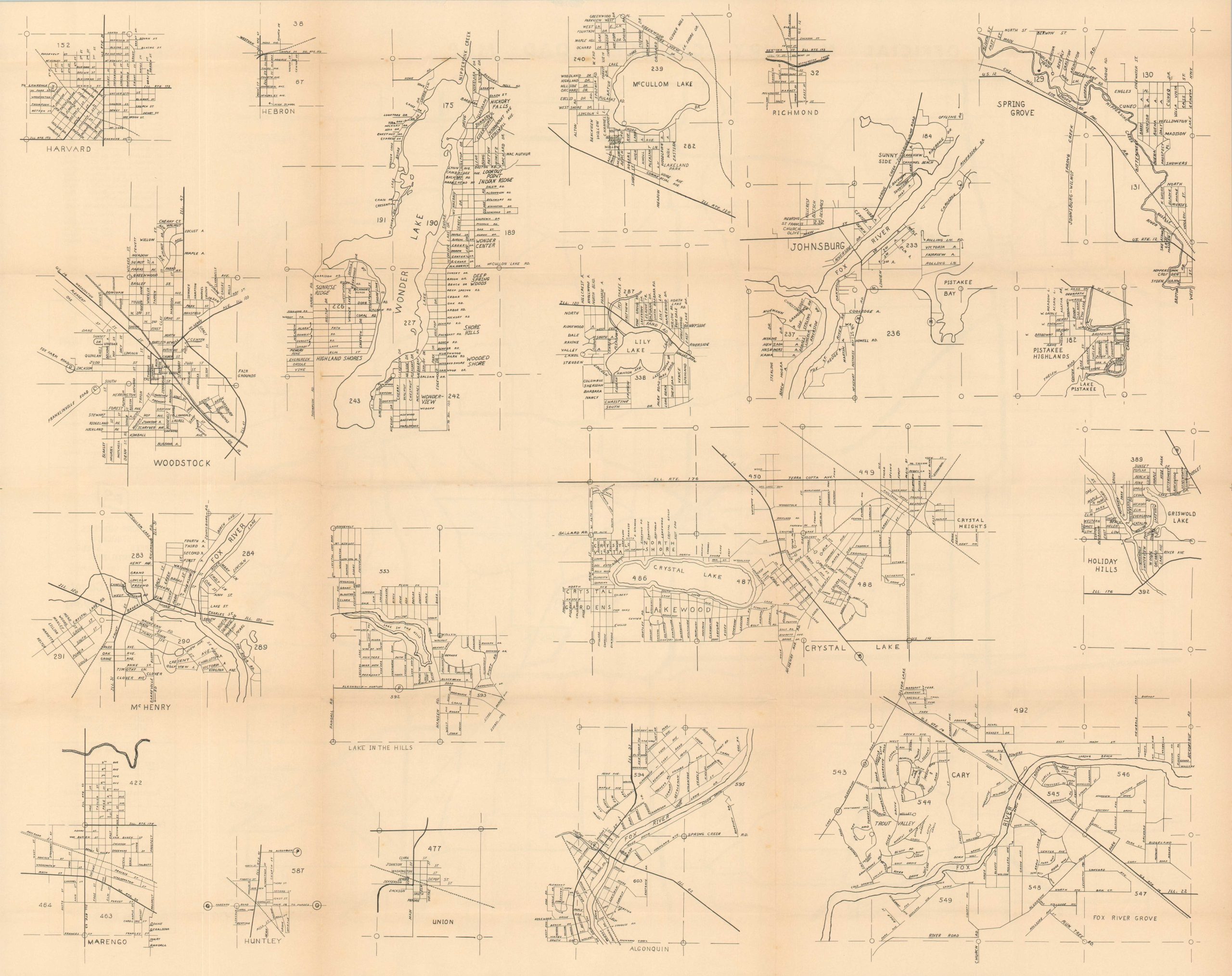
This detailed road map of McHenry County, Illinois was copyrighted and published in 1958 by The County Map Company of Woodstock. An interesting disclaimer is noted in the upper right. Thick black lines show ‘all-weather roads’ while ‘other roads’ (presumably dirt) are outlined. Block numbers are provided in red, each within one-mile square increments designed to offer an innovative for locating residences. The verso presents large-scale street plans of most of the towns within the county, including Woodstock (county seat), Crystal Lake, Marengo, Harvard, and McHenry.
At the time of publication, the county in northeastern Illinois (one of five ‘collar counties’ of Chicago) was undergoing moderate industrialization trends. The adoption of the automobile and improved road network made commuting to Chicago much easier – between 1950 and 1970 McHenry’s population more than tripled (from 2,000 to 6,000+). The agricultural heritage of the area is reflected in the advertisements on the right side of the sheet.
Map Details
Publication Date: 1958
Author: The County Map Company
Sheet Width (in): 29
Sheet Height (in): 22.25
Condition: A
Condition Description: Creased along old fold lines (as issued), with one or two scattered spots and faint toning along the edges of the sheet. Near fine condition and includes original envelope.
$95.00
1 in stock