
Official Map Gold Belt Trail
$110.00
Follow the Gold Belt Trail through the Heart of Cool Colorado!
1 in stock
Description
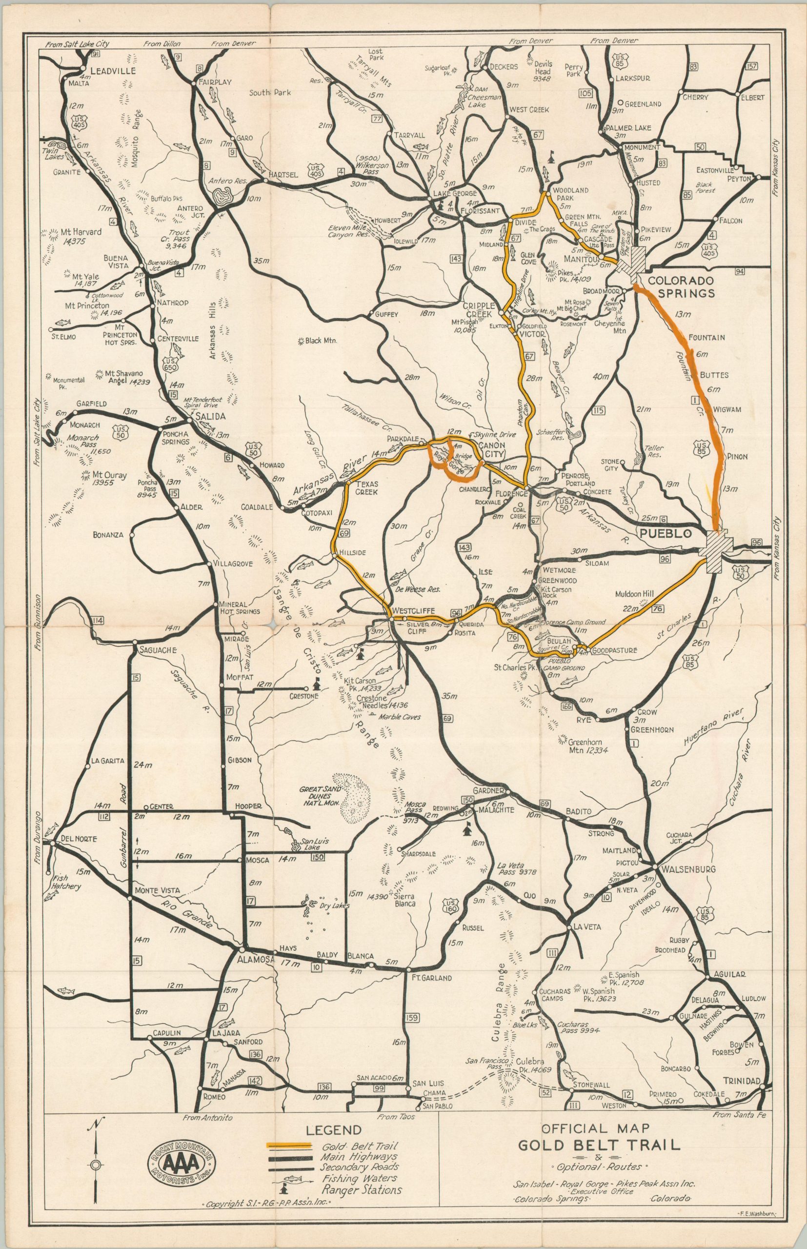
This uncommon road map covers a large area southeast of Colorado Springs. The Gold Belt Trail, highlighted appropriately in yellow, offers a tour through the historic mining region, though the intended audience was automobile tourists, rather than prospectors. Fishing spots, mountain peaks, campgrounds, and local attractions like the Garden of the Gods offer a bounty of recreational opportunities. Descriptive text on the verso includes information about the San Isabel National Forest, Zebulon Pike, the Royal Gorge, gold, and El Paso County. Photographs show many of the regional natural wonders, as well as the mines at Victor and Cripple Creek.
The map was designed by F.E. Washburn and copyrighted around 1930 by the San Isabel – Royal Gorge – Pikes Peak Association, Inc. Sponsored by the Rock Mountain Motorists, Inc. an affiliate of AAA.
Map Details
Publication Date: c. 1930
Author: F.E. Washburn
Sheet Width (in): 12.4
Sheet Height (in): 18.2
Condition: B
Condition Description: Double-sided brochure with moderate wear along original folds, including an irregular 2" tear (repaired on verso). Light marginal wear, including a creased lower right corner and tiny spots of separation. Gold highlights appear to have been painted on by hand. Good condition overall.
$110.00
1 in stock