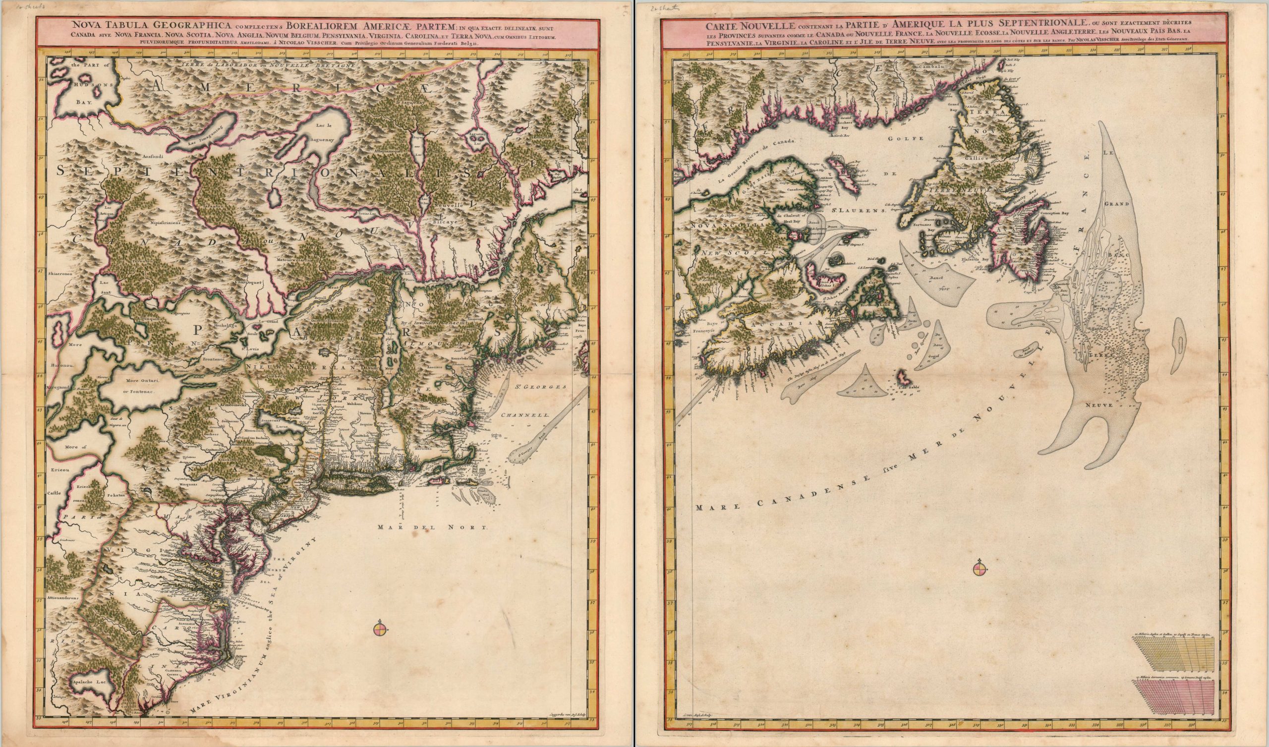
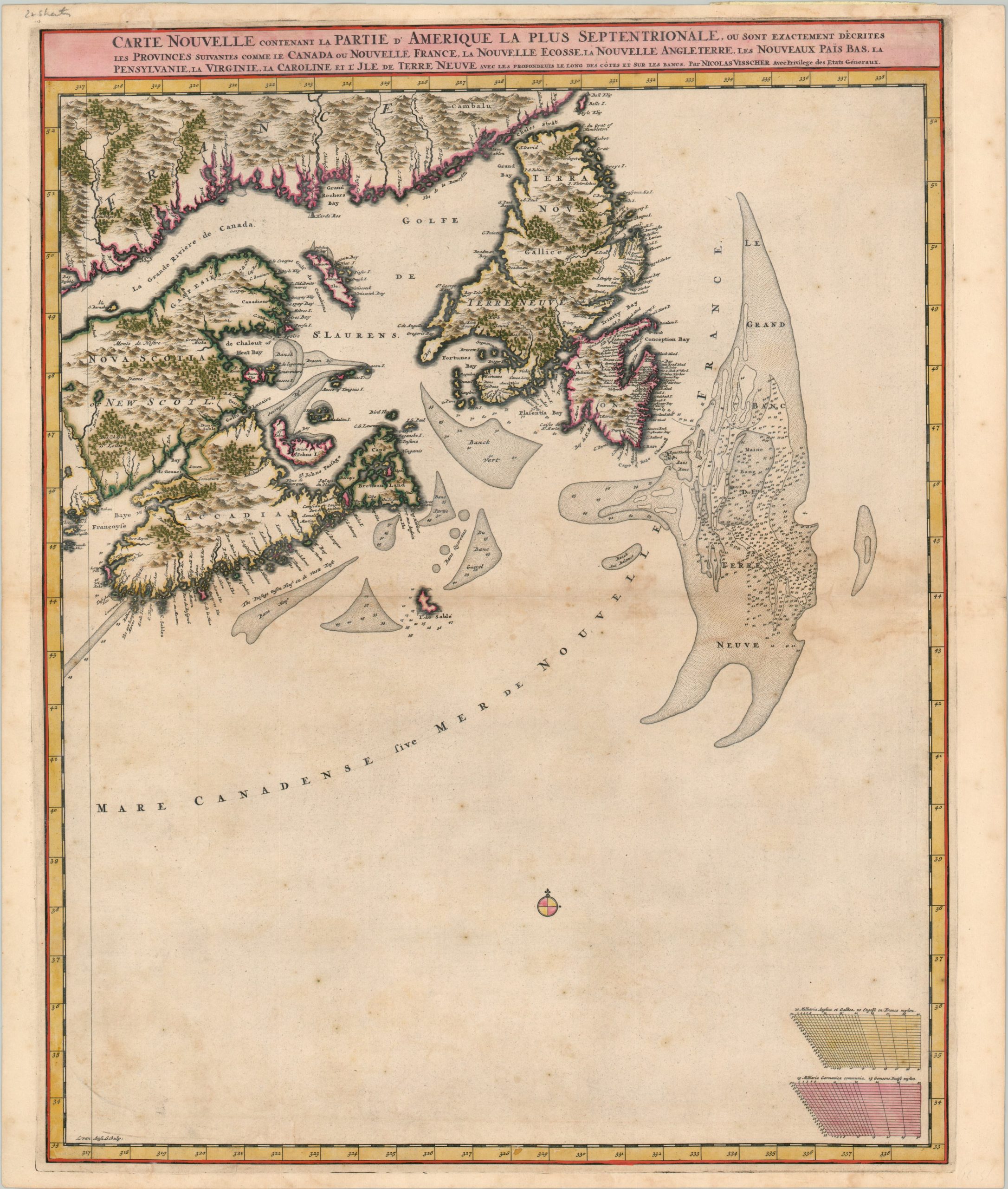
Nova Tabula Geographica Complectens Borealiorem Americae Partem [and] Carte Nouvelle Contenant La Partie d’Amerique la Plus Septentrionale
$5,000.00
The second state of Visscher’s incredible two-sheet covering eastern North America.
1 in stock
Description
This incredible pair of maps covers a large section of coastal colonial America between the Carolinas and Newfoundland. They were published in Amsterdam by Nicholas Visscher around 1696 and provide a detailed snapshot of the European settlements, indigenous tribes, and geographic features as they were understood during the late 17th century.
The map has proved difficult to date conclusively, but the presence of Pennsylvania indicates at least 1685, while Visscher’s publication privileges were renewed in 1697 and no earlier examples of the map can be found in his Atlas Minor (its source). A scarce proof version, without the trees and mountains, is present in a handful of known forms, and this is the second state featuring those pictorial elements. Subsequent issues would be produced by Schenk and later, Ottens, into the 1720s.
The map appears to be a custom creation by Visscher, loosely based on earlier maps but incorporating new information from French, English, and Dutch sources. The Gulf of St. Lawrence, Hudson River, and coastal areas are shown with surprising accuracy, but inland areas are filled with speculation, spurious lakes, and rivers. Of particular interest are the fictitious Apalache Lac and a curious depiction of the eastern Great Lakes that fails to show any connection with Lake Ontario. Depth soundings and coastal hazards are noted throughout, with a particular emphasis on the rich fishing grounds of the Grand Banks of Newfoundland.
Despite the presence of two titles (oddly, one Latin, one French) and gradation on all borders, the maps were clearly designed with the option of joining as a single sheet in mind. A guideline on the ‘inner’ edge of each sheet allows for the unification of both maps into one image.
References: Burden 731, Kershaw 319, McCorkle #689.8, AGSL am012254
Map Details
Publication Date: c. 1696
Author: Nicholas Visscher
Sheet Width (in): 41.00
Sheet Height (in): 23.90
Condition: B+
Condition Description: Two sheets, each with light to moderate scattered spotting and faint damp staining visible within the image. The first sheet has about 6" of separation along the horizontal centerfold, repaired with archival tape on the verso. Gorgeous full original color and a bold impression make for a striking aesthetic.
$5,000.00
1 in stock


