
Nouvelle Carte de L’Amerique Septentrionale Dresee sur les Plus Nouvelles Observations…
$650.00
Interior discoveries across North America and the Caribbean during the early 18th century.
1 in stock
Description
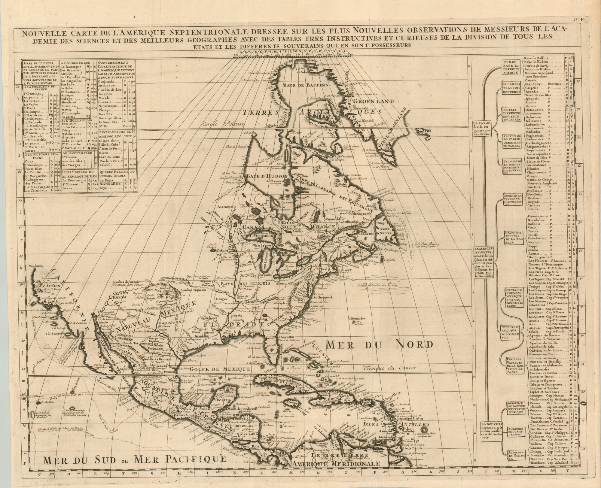
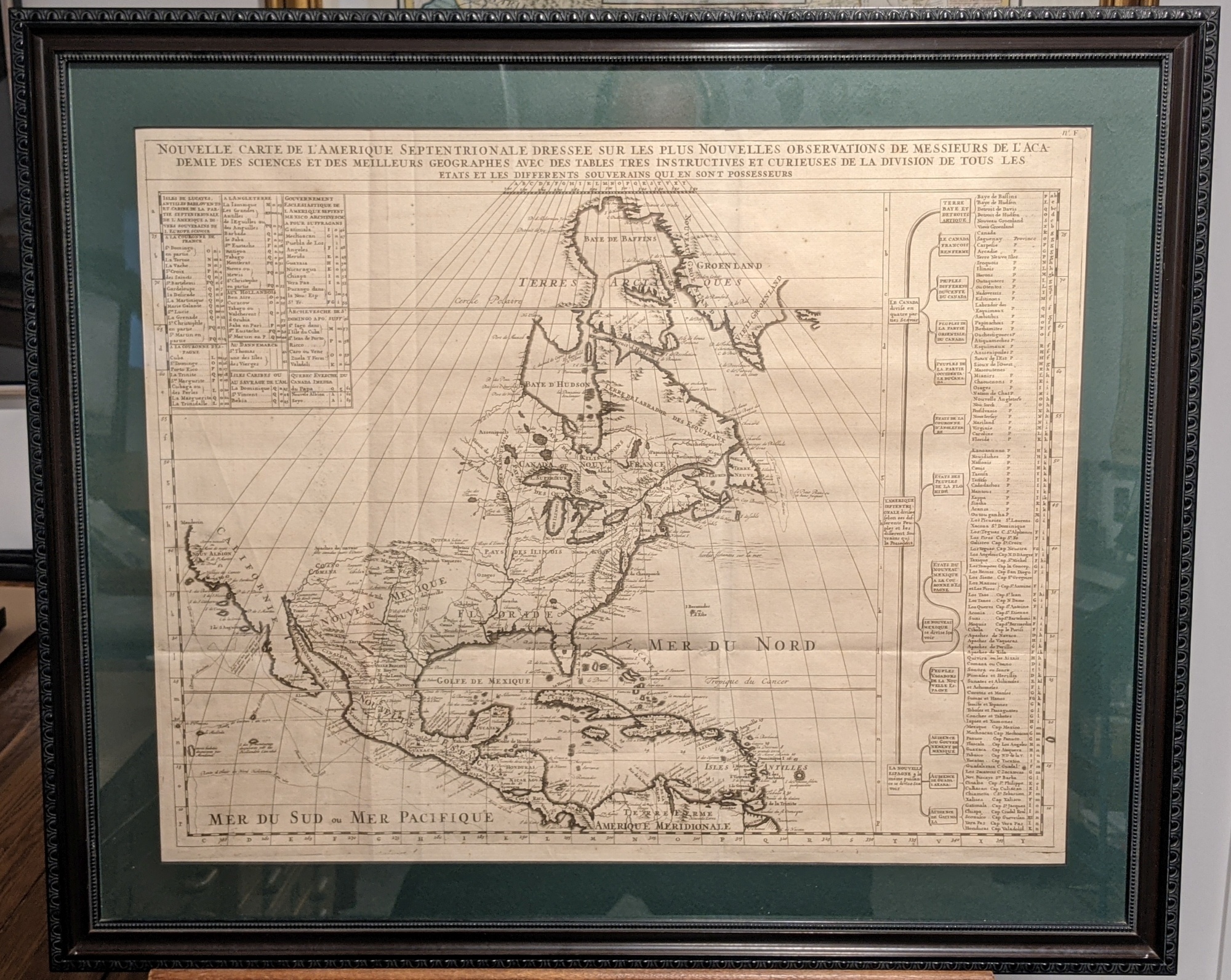
This map of North America presents a wealth of recently discovered geographic information across the continent. By combining delicately engraved lines and an uncomplicated composition, the image provides one of the best depictions of the colonial New World in the early 18th century.
The map was designed by Henri Chatelain for his monumental Atlas Historique and is based on the earlier influential version issued by Guillaume D’Lisle – both incredible influential cartographers during the golden age of French cartography. As expected, the political situation was depicted from the perspective of a Francophile, with English claims minimized by a large Spanish Florida and Nouvelle France. The Appalachian Mountains are shown crowding British Territory to the East Coast, while much of the interior of the continent is shown open for settlement.
California is shown as a peninsula with a number of villages and mountains; the Mississippi River extends far north of its true source. The table along the right side details the various native tribes and political organizations in each region, with lettered references for locating on the map.
Map Details
Publication Date: c. 1720
Author: Henri Chatelain
Sheet Width (in): 25.75
Sheet Height (in): 21
Condition: A-
Condition Description: Very faint offsetting visible within the image and a few small spots in the upper right, near Greenland. Light creasing along former fold lines and wear along the outer edges of the sheet, consistent with age. and a bit of light creasing along former fold lines. Very good to near fine condition overall. Available in a custom dark wooden frame (walnut?) with green acid-free matte and UV resistant glass. Shipping extra. Inquire for details.
$650.00
1 in stock