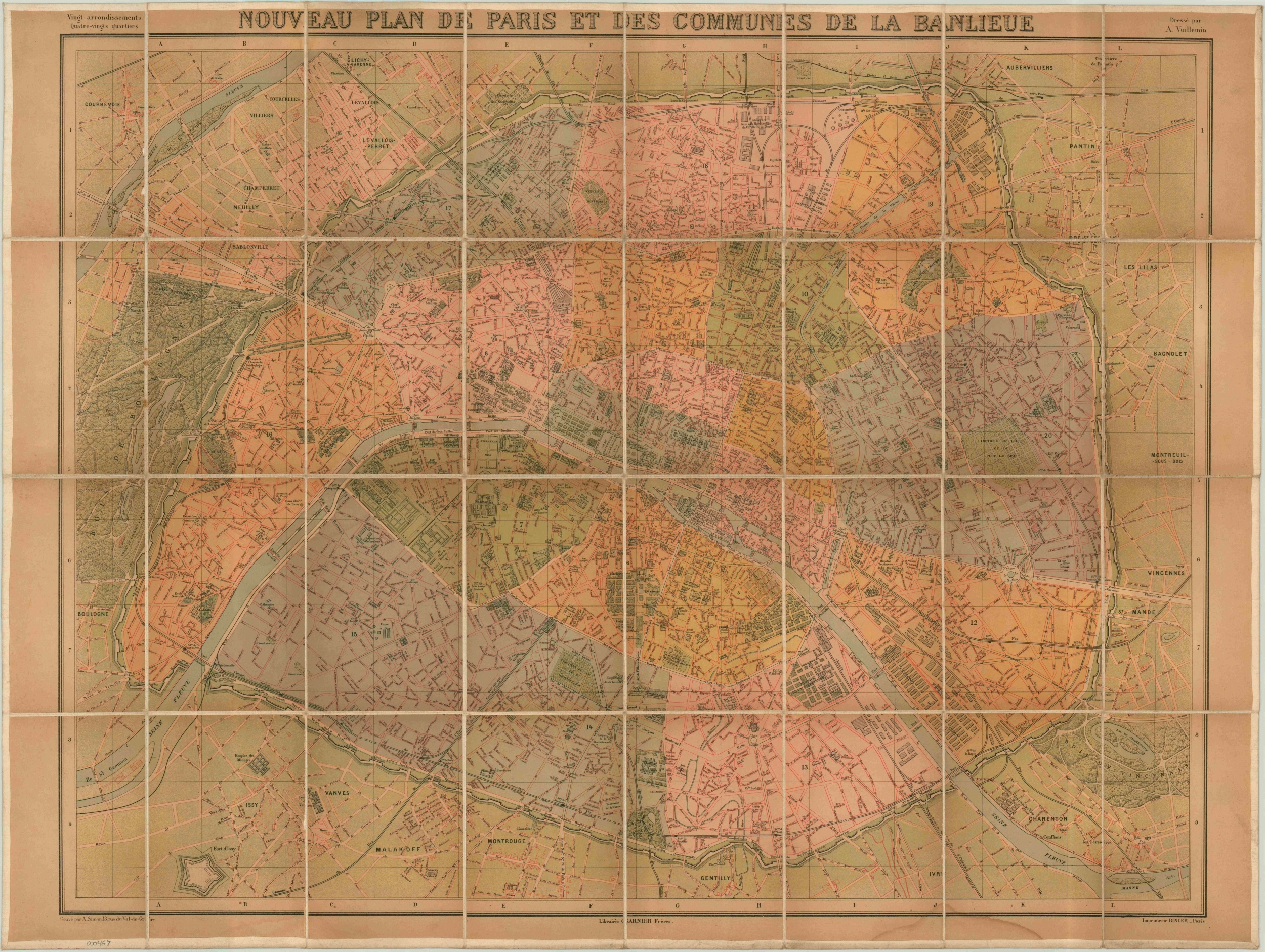
Nouveau Plan de Paris et Des Commmunes de la Banlieue
$125.00
Detailed linen backed folding map of Paris published near the turn of the century.
Description
One of Alexandre Vuillemin’s several city plans of Paris, this late Victorian edition was published a few years after his death, which occurred in 1880. The map is focused on the center of Paris and its immediate suburbs, with the city’s massive fortifications seen around edges. Color is used to distinguish various wards, red lines show the street grid, and black lines reflect place names, rail lines and building details. Created during the Belle Époque, the map shows an orderly city under a peaceful Republic, far removed from the horrors of the Franco-Prussian War and on the cusp of the wildly successful Exposition Universelle of 1889.
Vuillemin was a popular French cartographer active in the second half of the 19th century. He studied under Auguste Dufour and became known for his extensive use of engravings in the margins of his maps, though they are not on display in this example.
Map Details
Publication Date: c. 1882
Author: Alexandre Vuillemin
Sheet Width (in): 36.00
Sheet Height (in): 27.00
Condition: B
Condition Description: The map is mounted on linen and thus quite sturdy, but the individual panels all exhibit some wear and discoloration. Stains are evident in the upper and lower margins and modest soiling throughout.
$125.00

