Norway from the best Authorities
$125.00
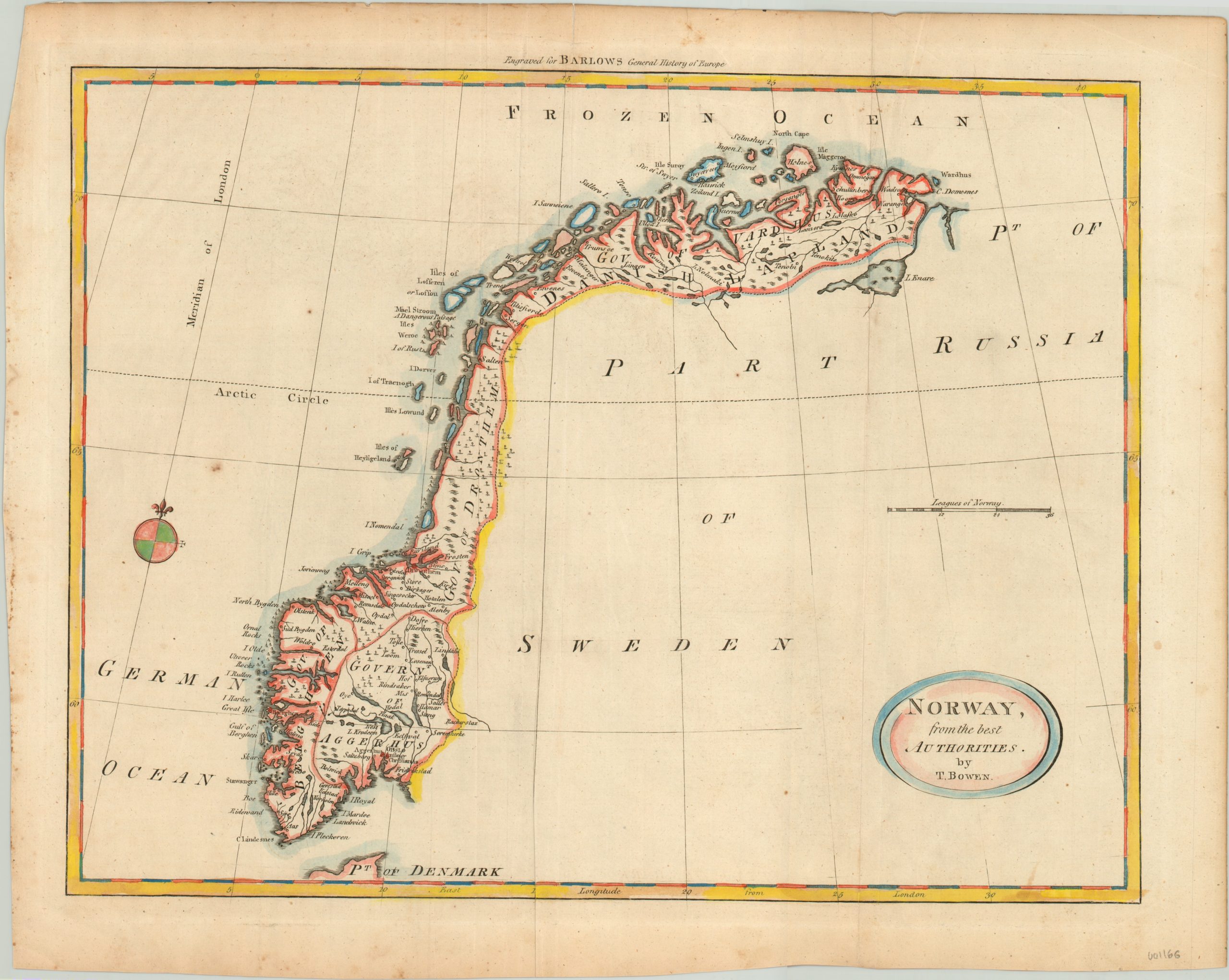
Charming hand colored map of Norway by Thomas Bowen.
1 in stock
Description
This attractive map of Norway was designed by Thomas Bowen for inclusion in Percival Barlow’s General History of Europe, published in London in 1790. Relief is shown pictorially, with scattered towns and settlements individually labeled. Numerous shoals and named rocks can be seen along the coast, reflecting the constant threats to maritime navigation in the icy Norwegian Sea.
Portions of Danish Lapland can be seen in the far north, but the adjacent countries of Denmark, Sweden and Russia are all left intentionally blank. It’s interesting that this map depicts Norway as a standalone political entity, as throughout the 17th – 19th centuries the country was always in a formal union with either Sweden or Denmark.
Map Details
Publication Date: 1790
Author: Thomas Bowen
Sheet Width (in): 18.75
Sheet Height (in): 14.6
Condition: B+
Condition Description: Creasing along fold lines and moderate soiling confined largely to the margins. Two small spots of foxing found near the Arctic Circle.
$125.00
1 in stock