Northern Africa
$225.00
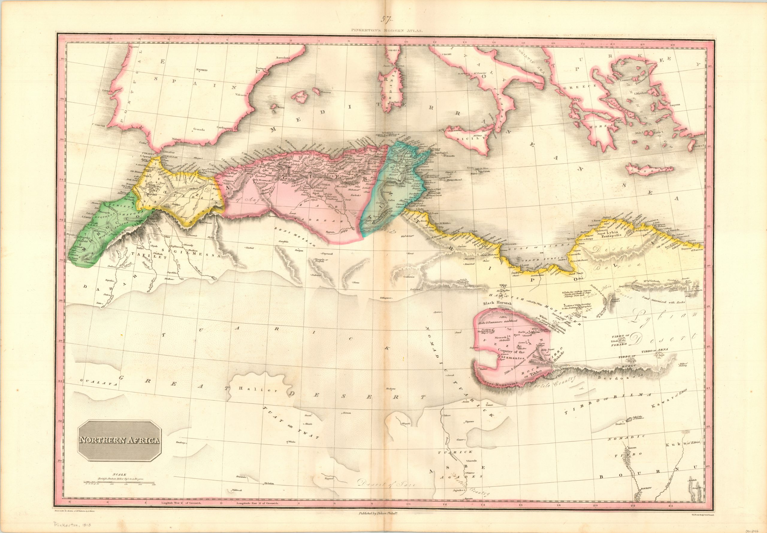
Early 19th century map of North Africa and the Mediterranean.
1 in stock
Description
John Pinkerton’s expansive map of the northern portion of the continent of Africa covers the coast between Morocco and the Egyptian border and includes the southern portion of Europe along the Mediterranean.
The Great Desert (the Sahara) comprises a majority of the visible landmass, while the Atlas Mountains can be seen situated as a natural barrier between the more heavily populated coastal regions. Numerous annotations within the image also allude to the harsh terrain.
Though the interior is largely empty, the scattered settlements supported a robust trading network, of which the Kingdom of Fezzan was one of the most successful participants.
Published in the 1818 edition of Pinkerton’s Modern Atlas by Thomas Dobson & Company in Philadelphia. Engraving by Samuel Neele.
Map Details
Publication Date: 1818
Author: John Pinkerton
Sheet Width (in): 32.00
Sheet Height (in): 22.25
Condition: A-
Condition Description: Faint discoloration and wear along the horizontal centerfold and some spots of offsetting visible in the white spaces. Remains in very good condition overall.
$225.00
1 in stock

