North Shore Street Guide
Original price was: $400.00.$250.00Current price is: $250.00.
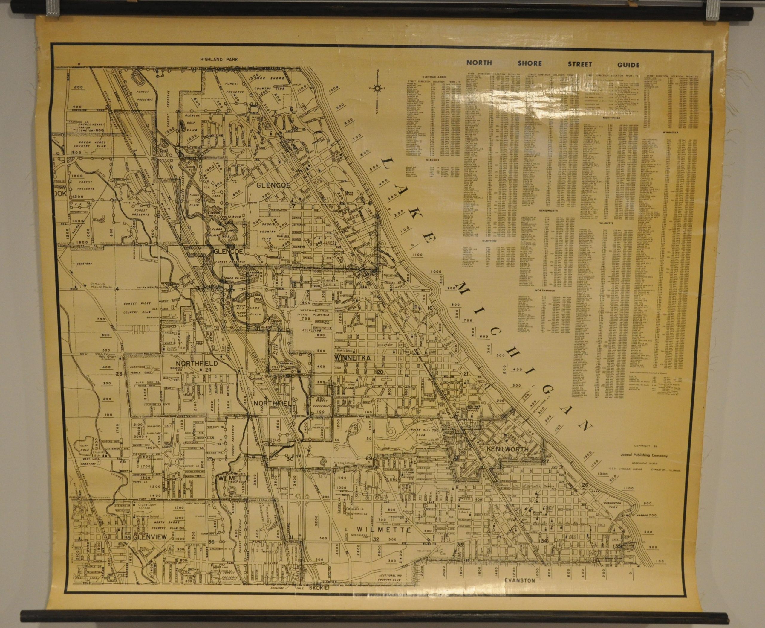
Rare postwar wall map of Chicago’s popular North Shore area.
1 in stock


Description
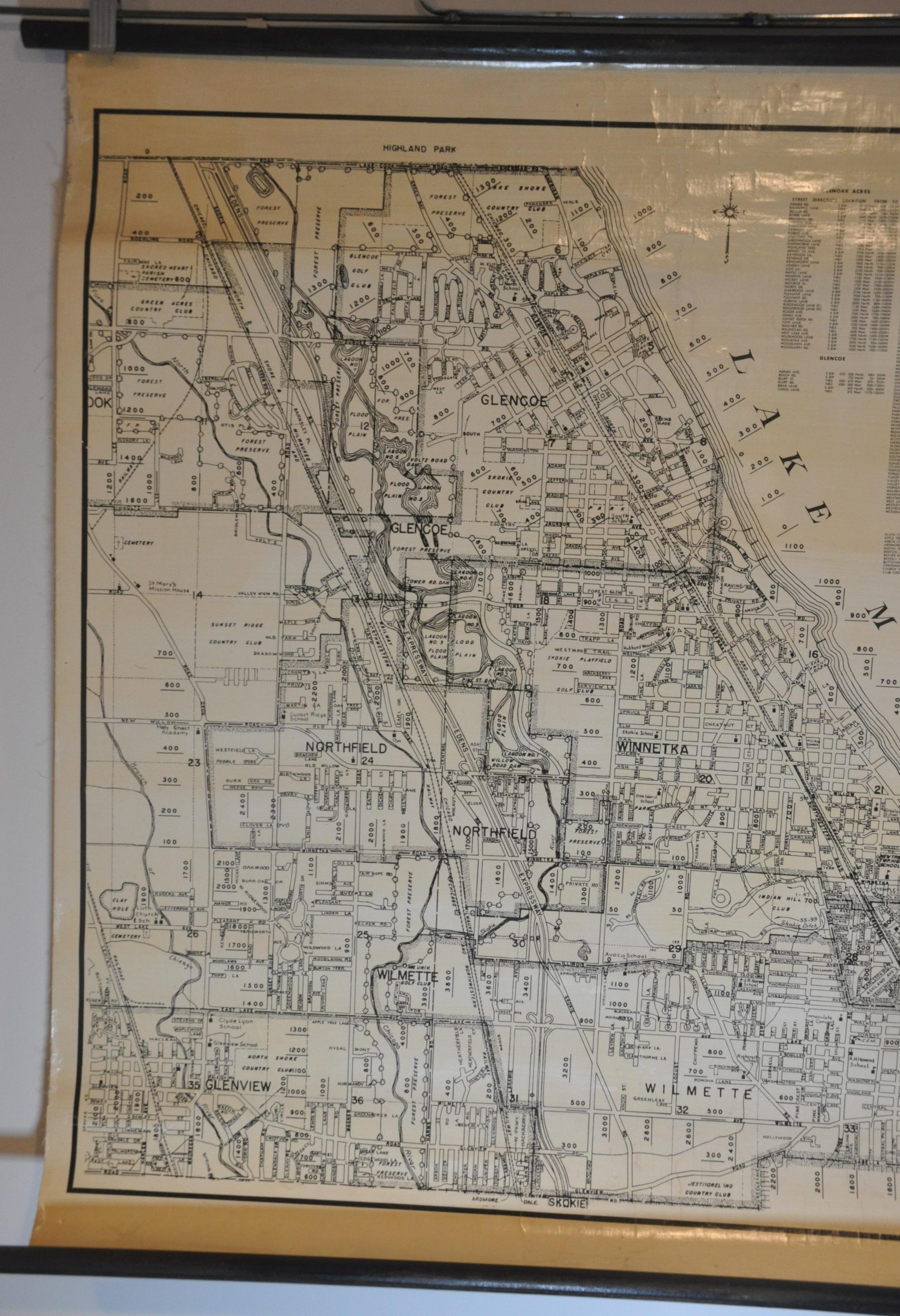
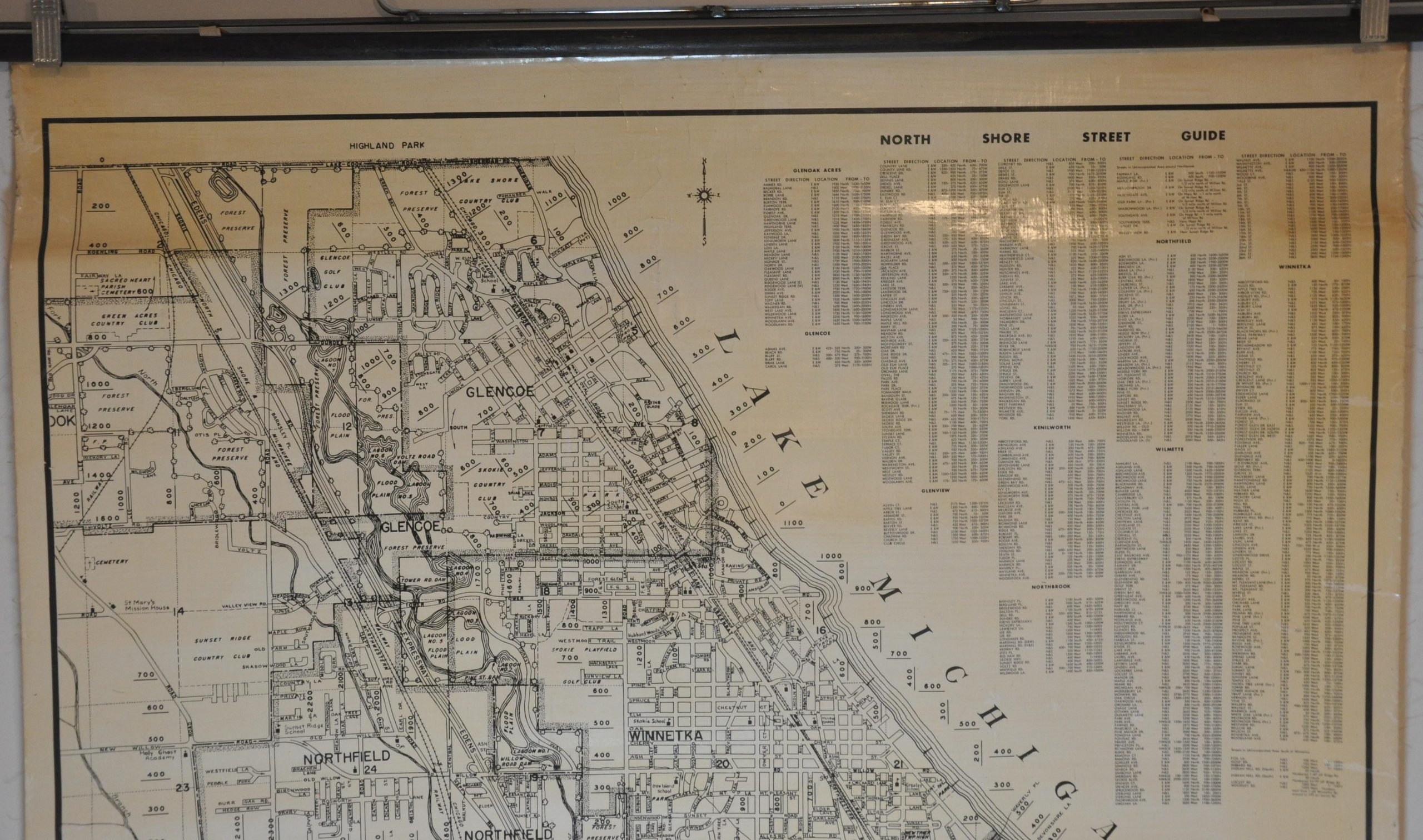
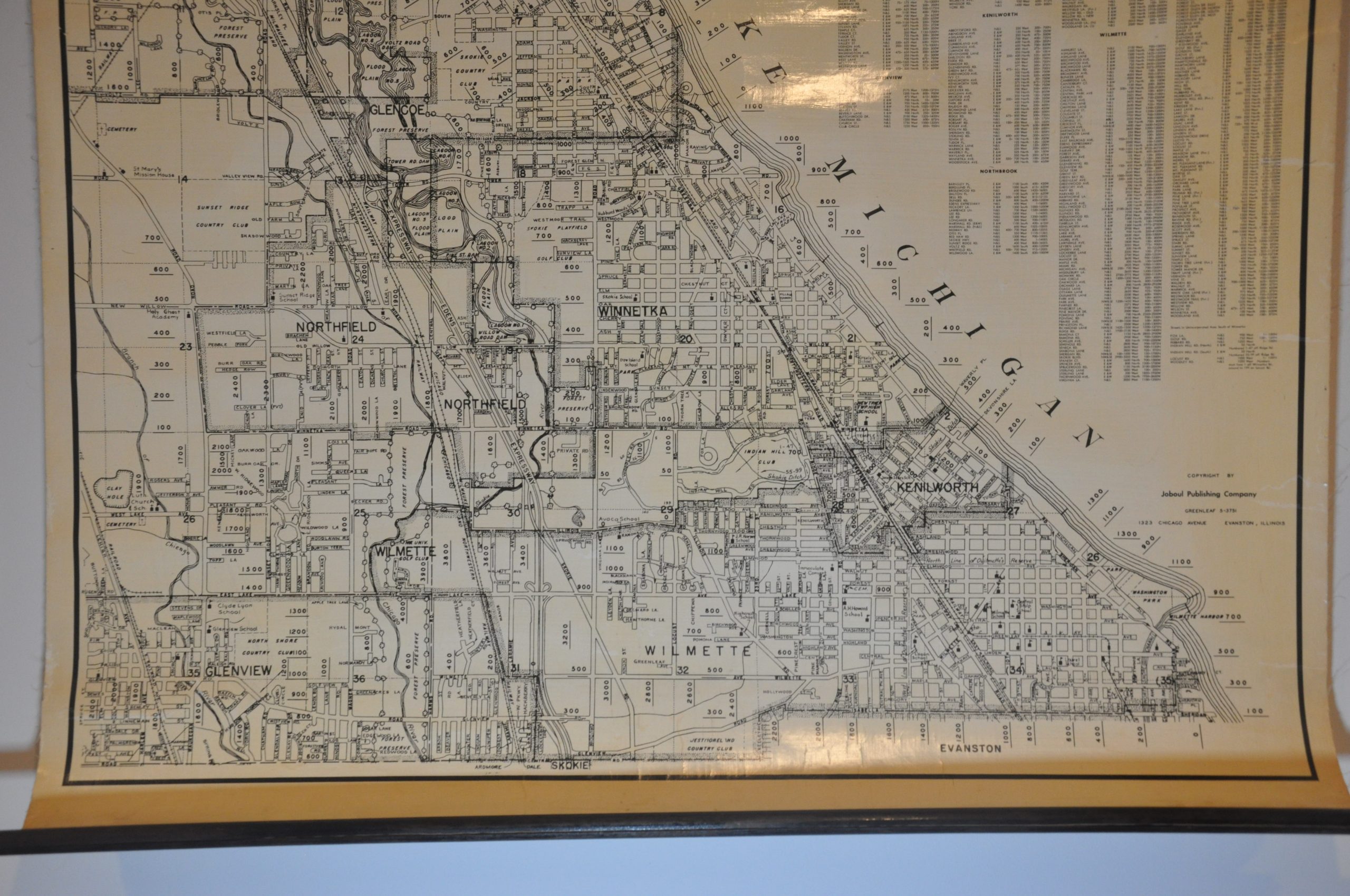
This awesome mid-century map of Chicago’s North Shore area was published in Evanston, IL by the Joboul Publishing Company around 1954, based on the configuration of the Edens Expressway. Though the region’s exact boundaries are up for debate, this map defines the North Shore as the communities between Evanston and Highland Park; including Glenview, Northfield, Winnetka, Wilmette, Kenilworth, and Glencoe.
A simple street plan identifies the locations of schools (flags) and churches (crosses) and includes the newly constructed Bahá’í House of Worship (1953). Railroads, including the iconic North Shore Line, are labeled, though the interurban service would be discontinued just a few years after publication. Other locations of interest include forest preserves, cemeteries, country clubs, and geographic features. A comprehensive street index is provided in the upper right.
What the map fails to show is the widespread policies of restrictive covenants and redlining that ensured the affluent suburbs would remain predominantly white well into the 1960s and 1970s.
Source: WTTW
Map Details
Publication Date: c. 1954
Author: Joboul Publishing Company
Sheet Width (in): 34.75
Sheet Height (in): 31.5
Condition: B+
Condition Description: Single large sheet of glossy paper mounted on linen and affixed to original black wooden rollers. Moderate toning visible on the right side and several seams where the sheet has previously creased. Good to very good condition overall.
Original price was: $400.00.$250.00Current price is: $250.00.
1 in stock