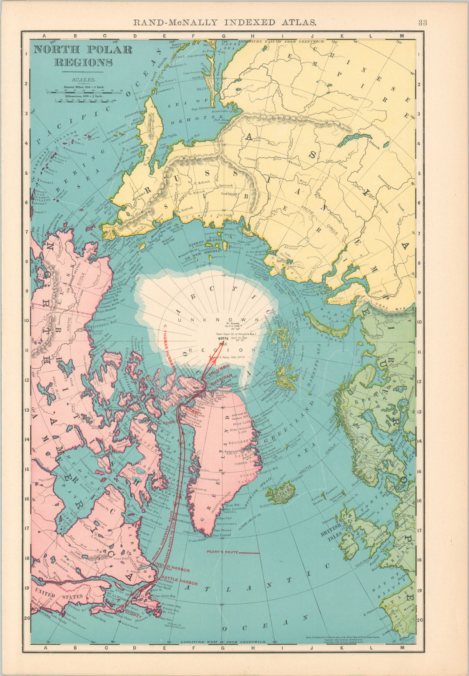
North Polar Regions
The North Pole in the early 20th century.
Out of stock
Description
This color lithographed image shows a detailed overview of the North Polar regions around the Arctic Circle. Portions of Europe, Asia, and North America surround a large ice cap marked ‘Unknown Regions’, though several explorers’ routes are noted like those of Nansen, Cagni, and Peary. Faint white lines show the ‘Extreme Limit of Ice’ extending well into the North Atlantic.
Published around 1910 in Chicago by Rand McNally & Co.
Map Details
Publication Date: 1910
Author: Rand McNally
Sheet Width (in): 14.4
Sheet Height (in): 20.6
Condition: A
Condition Description: Sheet is lightly and evenly toned throughout, consistent with age. Vibrant printed color. Very good overall.
Out of stock