
North and South America At-A-Glance
$40.00
Educational game covering the Western Hemisphere.
1 in stock
Description
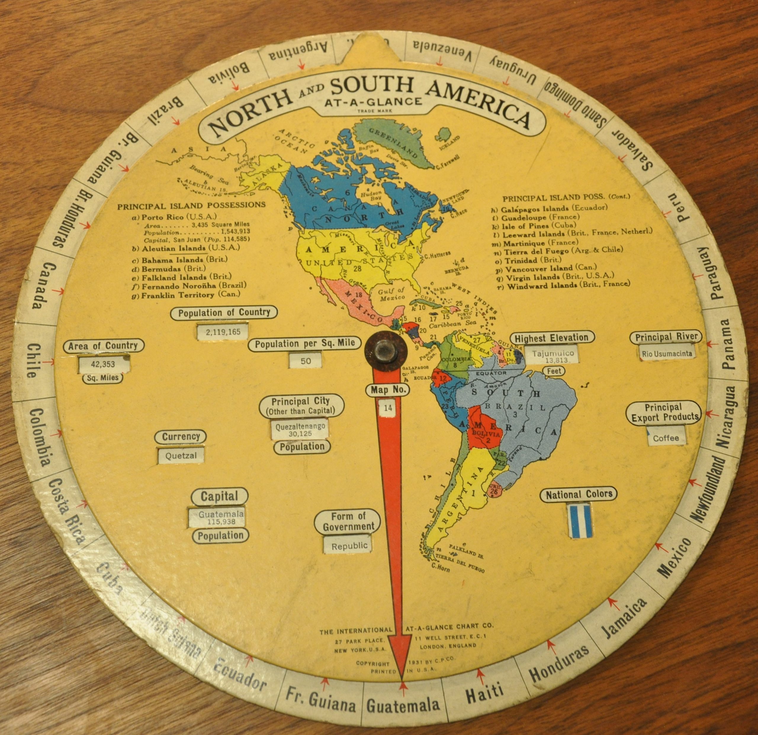
Published in 1931 by the International At-A-Glance Chart Company, this spinning geography game is commonly known as a volvelle. As the inner wheel turns, the arrow points to various countries in the outer wheel and relevant data points are shown.
Population, currency, national colors, and principal export products are just a few of the fields presented. The image also lists the principal island possessions of the United States and European countries.
Map Details
Publication Date: 1931
Author: The International At-A-Glance Chart Co.
Sheet Width (in): 9.75
Sheet Height (in): 9.75
Condition: B+
Condition Description: Heavy soiling around the outer ring and several areas of discoloration within the inner circle. Damp staining on verso, but remains in good condition overall.
$40.00
1 in stock