
Norman’s Simplified Maps of New York City
$95.00
The highlights of New York City on the brink of World War II.
1 in stock

Description
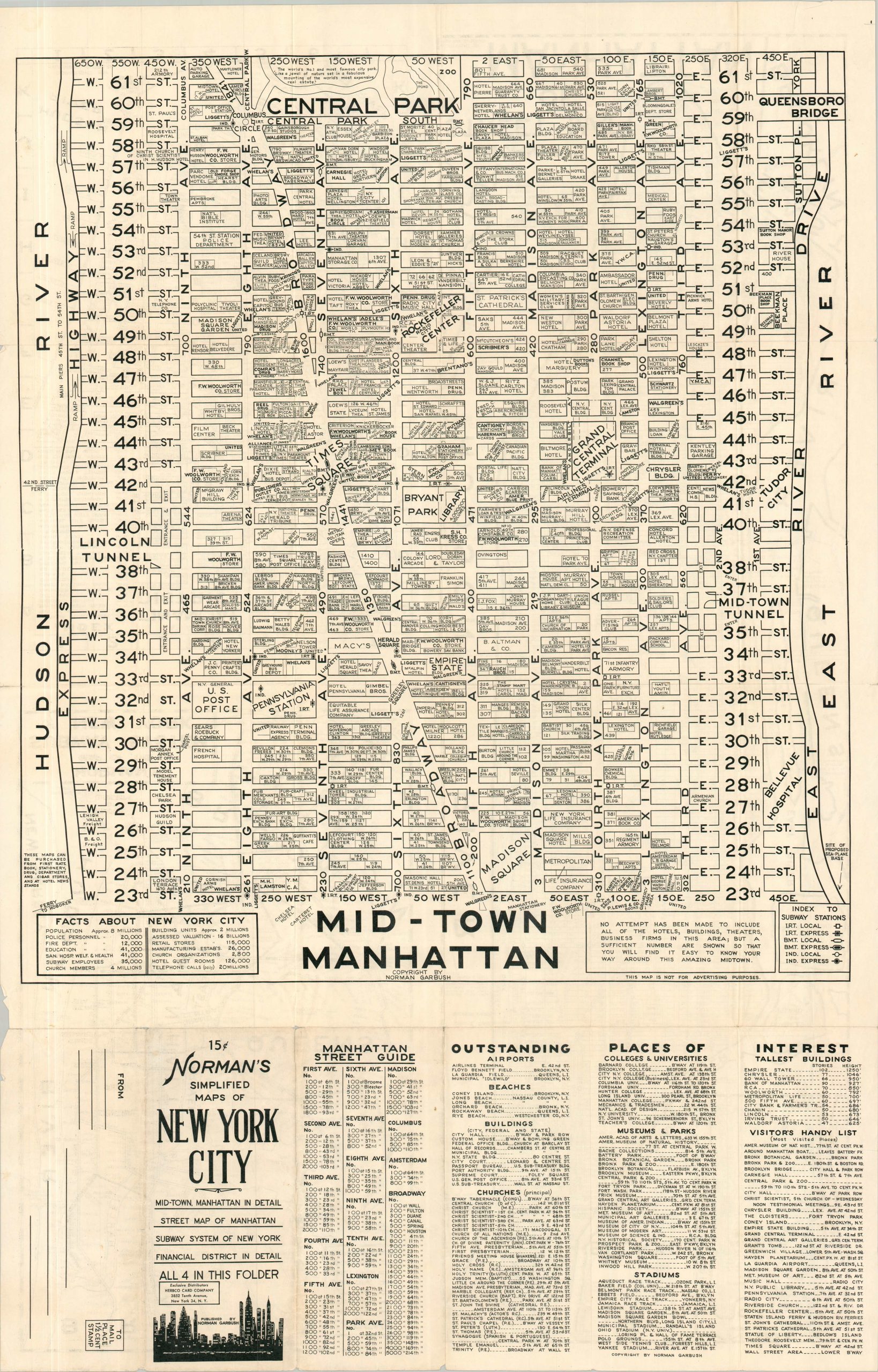
This fascinating c. 1940 map of New York City was aimed at a tourist audience, presenting the city’s highpoints in a souvenir mailer form. One side of the sheet presents a map of Mid-Town Manhattan. It offers a detailed overview from 23rd to 61st Streets, labeling individual buildings, retailers, transportation depots, and more. A street guide and index of locations of interest is provided near the bottom. The verso is a composite of three different images; a similar large-scale map of the Financial District, a street plan covering all of Manhattan, and a map of New York’s subway system.
Copyrighted and published by Norman Garbush, with the exclusive distributors identified as the Herbco Card Company (a local firm). The work is undated, but assuming that Garbush was quick to incorporate the latest happenings across the Big Apple, it can be confidently dated between late 1939 (the opening of La Guardia Airport) and the middle of 1940 (the transit consolidation of the IRT, IND, and BMT lines).
Map Details
Publication Date: c. 1940
Author: Norman Garbush
Sheet Width (in): 22.00
Sheet Height (in): 34.00
Condition: B+
Condition Description: Double-sided map brochure with moderate wear along original folds, including some faint discoloration and small splits at the joints. Minor marginal weawr, including a few small tears and wrinkles. Good condition overall.
$95.00
1 in stock