
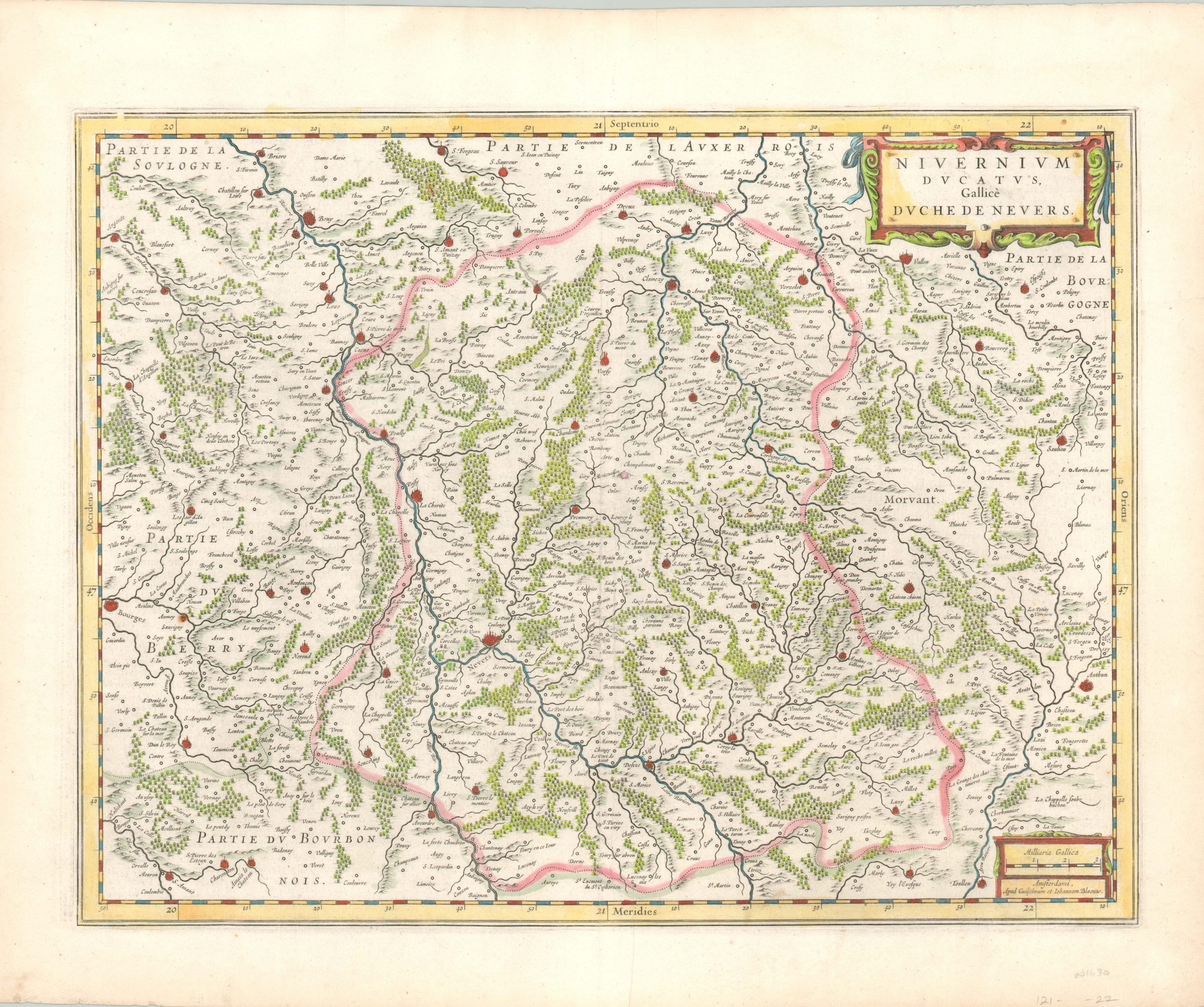
Nivernium Ducatus Gallice Duche De Nevers
$150.00
Finely detailed map of the French province of Nivernais by Blaeu.
1 in stock
Description
Geographic features like hills, rivers, and forests dominate this 17th century map of the historic French province of Nivernais, today’s department of Nièvre. The image is centered on the provincial capital of Nevers, on the banks of the Loire River, and includes the city of Bourges on the far left.
A decorative strapwork cartouche and distance scale complete the image, which was published by the Blaeu family in Amsterdam. French text on verso.
Map Details
Publication Date: c. 1650
Author: Willem Janszoon Blaeu
Sheet Width (in): 22.50
Sheet Height (in): 18.40
Condition: A
Condition Description: Near fine condition overall. Full margins, attractive hand color, and a clean sheet. One faint crease adjacent to the centerfold, hardly noticeable.
$150.00
1 in stock