
New York “The Empire State”
$145.00
Postwar pictorial celebration of “The Empire State”
1 in stock
Description
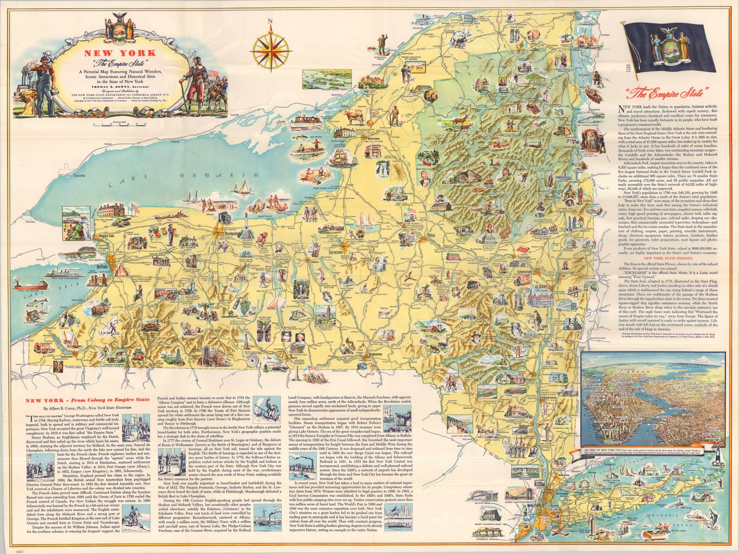
Published by the New York State Department of Commerce shortly after World War II, this striking pictorial map by the General Drafting Company serves as both a historical record and a promotional tool. By emphasizing New York’s rapid ascent to “Empire State” status, the map shifts the narrative away from the era’s global conflicts and toward a celebratory look at the state’s own (Western) history.
The visual narrative is driven by illustrated vignettes of industrial milestones and historic figures. While a brief essay by Dr. Albert B. Corey provides a timeline from Henry Hudson to the 1940s, it notably omits the World Wars, focusing instead on the contemporary statistics designed to lure businesses and residents to the state during the postwar boom.
Map Details
Publication Date: c. 1946
Author: General Drafting Company, Inc.
Sheet Width (in): 39.25
Sheet Height (in): 29.50
Condition: A
Condition Description: Vibrant color printed map on a single-sided sheet. Light creasing along old folds, but overall in near fine condition.
$145.00
1 in stock