New York City and Region
$45.00
Broad pictorial view of the Big Apple.
1 in stock
Description
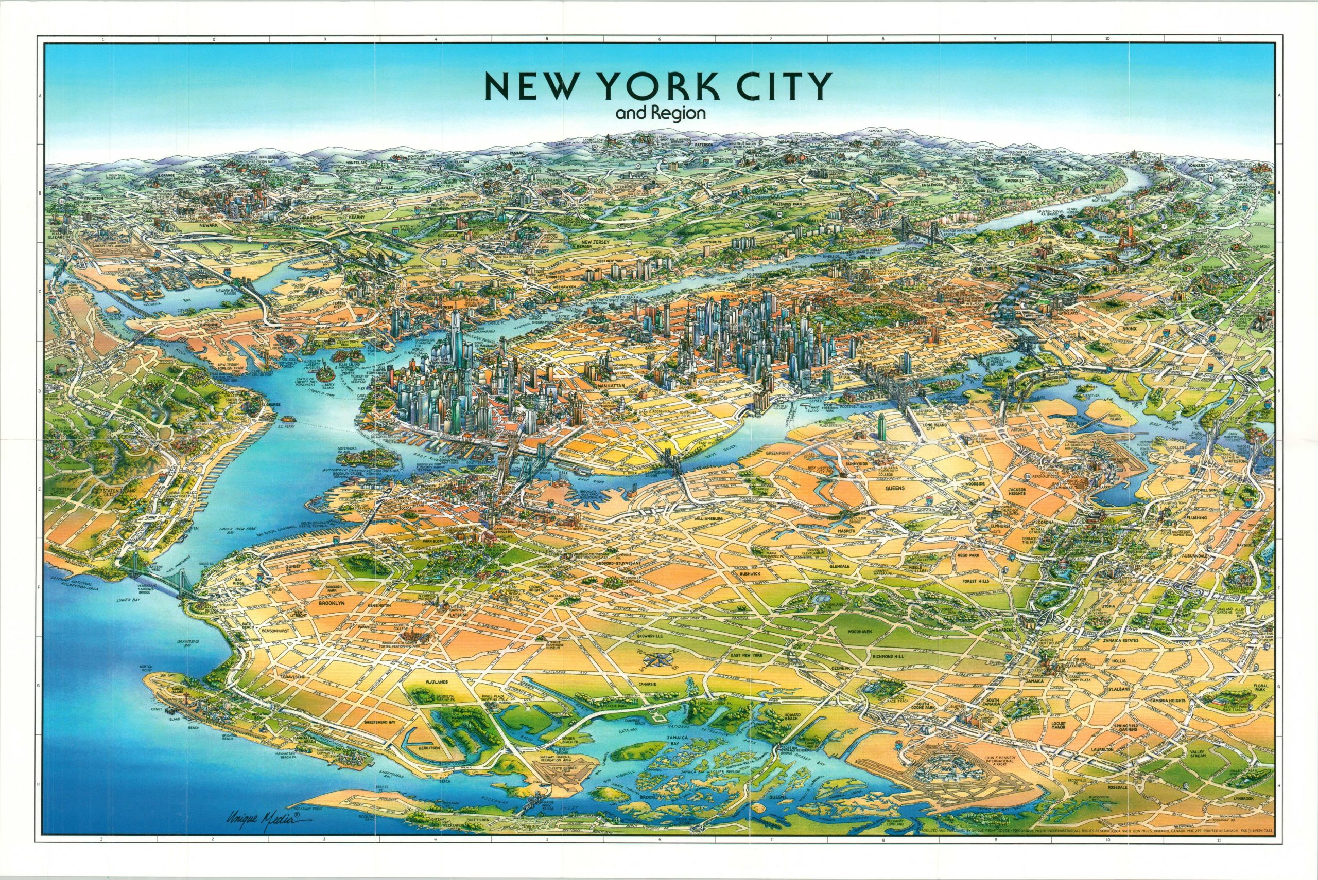
This charming cartoon map of New York City and the surrounding area was published by Unique Media in 2015. Though the image omits a portion of Staten Island, it captures the rest of the boroughs as well as the adjacent shore of New Jersey, including Newark.
The distinctive skyline of Manhattan is immediately identifiable, along with the monumental bridges, Statue of Liberty, and other iconic sites of the City that Never Sleeps. Significant attention is also provided to lesser-known locations as well, providing a wonderfully illustrated overview of the region.
The cartoon style is a hallmark of the Ontario, Canada-based Unique Media, Inc. Starting in the late 1970s, the company created a number of maps with a similar aesthetic of locations across the United States and continues to do so to this day.
Map Details
Publication Date: 2011
Author: Unique Media
Sheet Width (in): 27.00
Sheet Height (in): 17.75
Condition: A
Condition Description: Near fine condition, with light creasing and faint wear along originally issued fold lines.
$45.00
1 in stock

