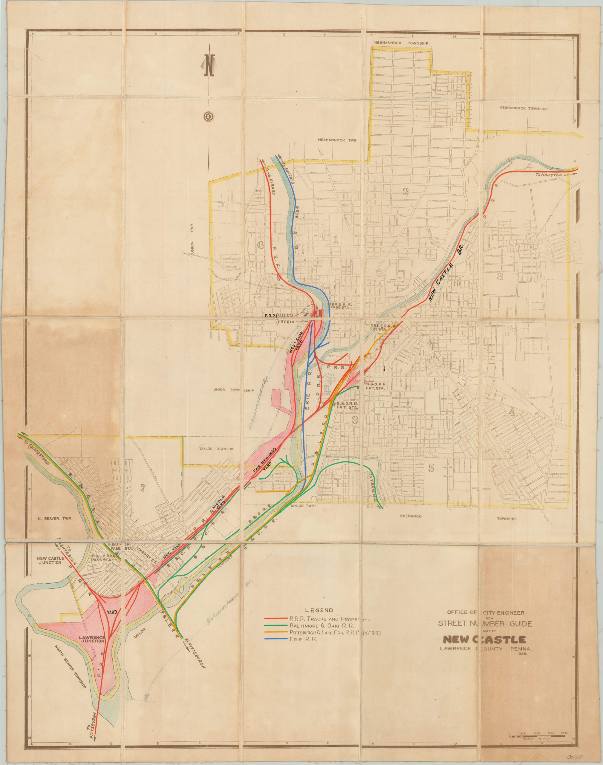
New Street Number Guide Map of New Castle
Street map of New Castle, Pennsylvania highlighting local railroads and updated with hand color.
Out of stock
Description
This detailed city plan of New Castle, Pennsylvania was drafted by the Office of the City Engineer and first published in 1928. It shows the town along the banks of the Shenango River and individually labels main roads, adjacent townships, and local wards.
This particular example has been customized for use in the Central Engineering Department of the Pennsylvania Railroad, and has been dissected and mounted on linen for preservation and convenient storage. Vivid color has been applied by hand to denote property and track ownership throughout the city, and a custom legend was added to identify the four primary local railroad operators. Additional manuscript notations in pencil and black ink locate specific branches, yards, and stations.
Map Details
Publication Date: 1928
Author: Office of the City Engineer
Sheet Width (in): 21.50
Sheet Height (in): 27.25
Condition: B+
Condition Description: Dissected into 20 panels and mounted on linen with black leather covers. Two panels show moderate discoloration from adhesive used to affix the covers to the verso. Otherwise the map is in very good condition, with scattered wear and soiling consistent with its age and use.
Out of stock

