
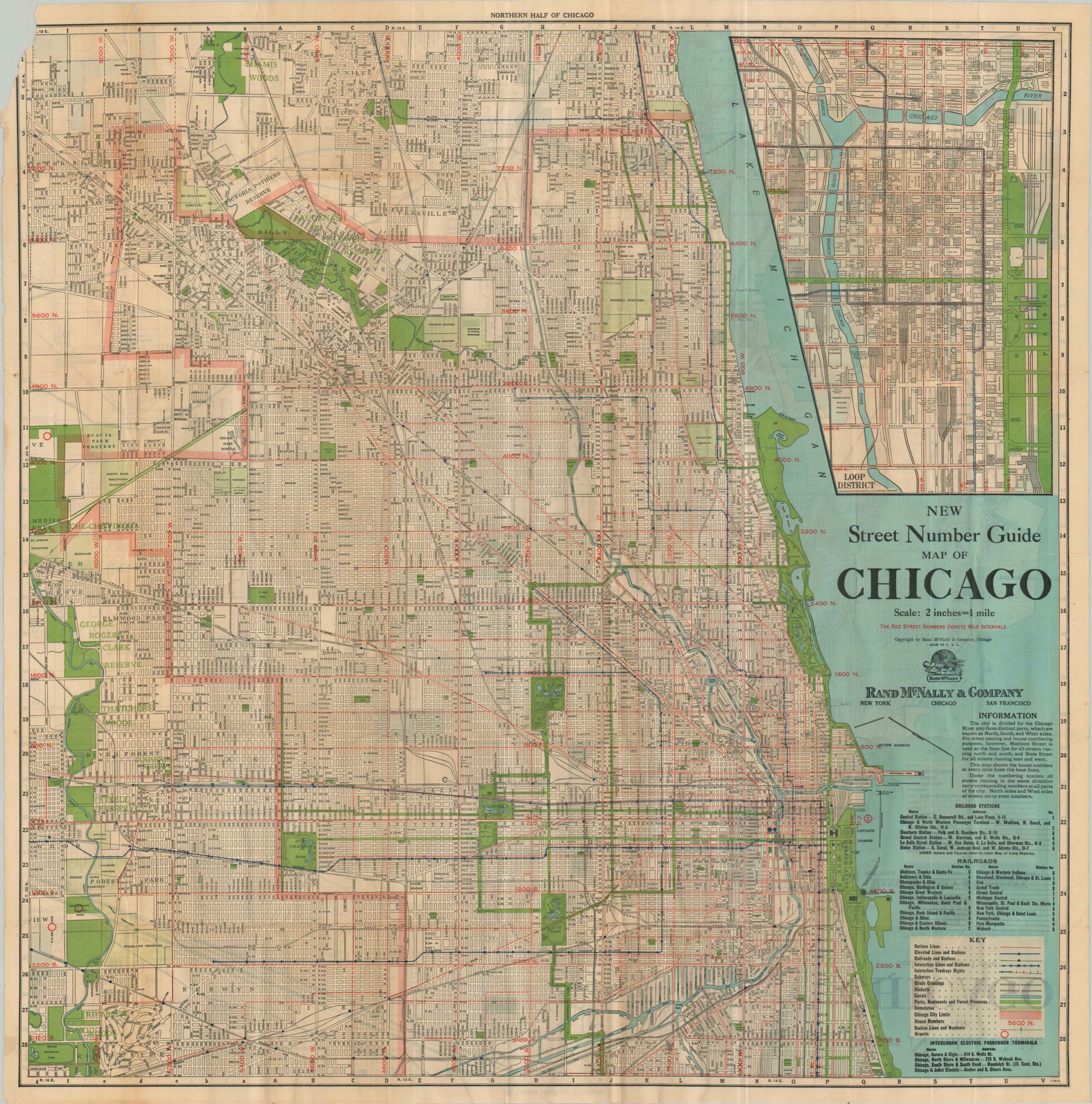
New Street Number Guide Map of Chicago
$95.00
A densely instructive pocket map of Chicago from the mid-20th century.
1 in stock

Description
This color lithographed pocket map of Chicago was published locally by Rand McNally in 1951, according to the printer’s code in the lower corner. A wealth of information about the Windy City is presented; including street names, various railways, parks, cemeteries, house numbers, geographic features, large industries, and important buildings. An inset plan offers a large-scale overview of the Loop, with the majority of the buildings outlined and labeled.
Map Details
Publication Date: c. 1951
Author: Rand McNally
Sheet Width (in): 29.75
Sheet Height (in): 29.75
Condition: B
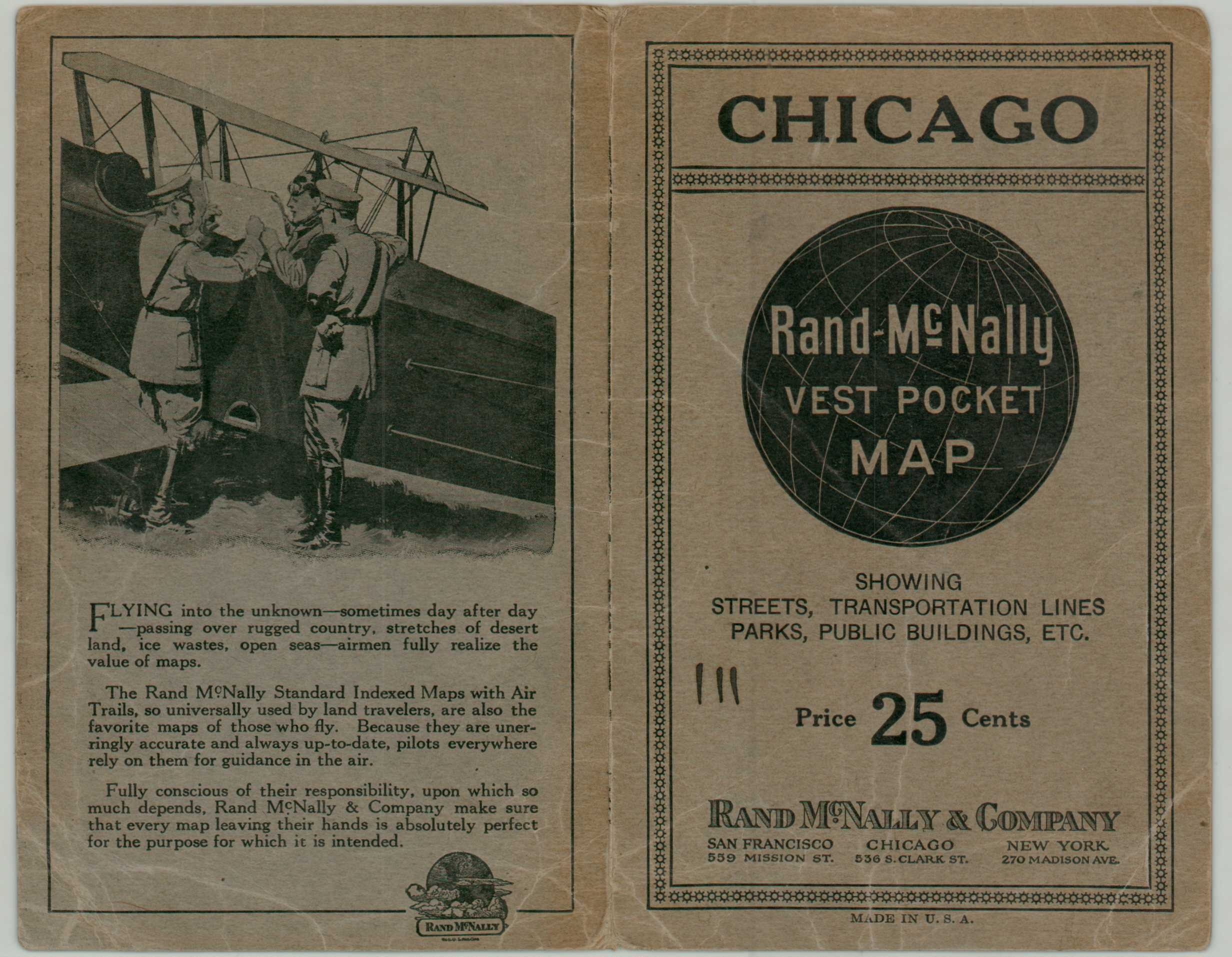
Condition Description: Large-double sided pocket map, folded into 54 segments and disbound from original stiff paper wraps (present). Somewhat brittle paper has toned in the lower corners and along the edges, with some paper loss in the lower left corner. Small closed tears along the edges of the sheet and at fold intersections. Despite a few defects, the map retains its bright original color and displays quite nicely.
$95.00
1 in stock