
New Simplified Map of Nashville
$145.00
Downtown Nashville during the 1950s.
1 in stock

Description
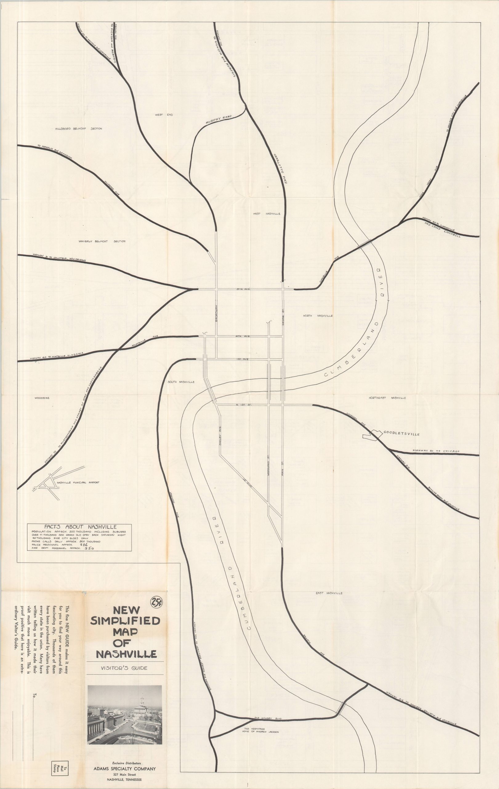
“This fine NEW GUIDE makes it easy for you to find your way around this fascinating city. Thousands of them have been purchased by visitors from every state in the union. Many have written telling us how it made their visit much more enjoyable. This is proof positive that here is an extraordinary Visitor’s Guide.” – Text, verso.
This interesting large-scale map shows downtown Nashville in the early 1950s, a period of significant urban revitalization and the beginning of the Civil Rights Era. A simple street diagram outlines a variety of properties ranging from public buildings to local attractions and notable businesses. Particular features of interest include the Ryman Auditorium, a proposed James Robertson Parkway (part of the Capitol Hill Redevelopment Plan), and the Life & Casualty Company, located adjacent to its future new headquarters and the first skyscraper in Nashville (completed 1957).
Published locally around 1950 by the Adams Specialty Company and originally sold as a mailer for twenty-five cents. A simple road map of Nashville and the surrounding area is printed on the verso, along with several facts about the city – over 7,000 see the Grand Old Opry each Saturday night!
Map Details
Publication Date: c. 1952
Author: Adam's Specialty Company
Sheet Width (in): 21.75
Sheet Height (in): 34.5
Condition: A-
Condition Description: Double-sided folding map with sharp creasing and a bit of toning along old folds, mostly around the front cover (see scan). Small pinholes and wrinkles at some fold intersections and a few tiny marginal tears. Good to very good condition overall.
$145.00
1 in stock