
New Map of Shanghai
Shanghai near the end of its Japanese occupation.
Out of stock
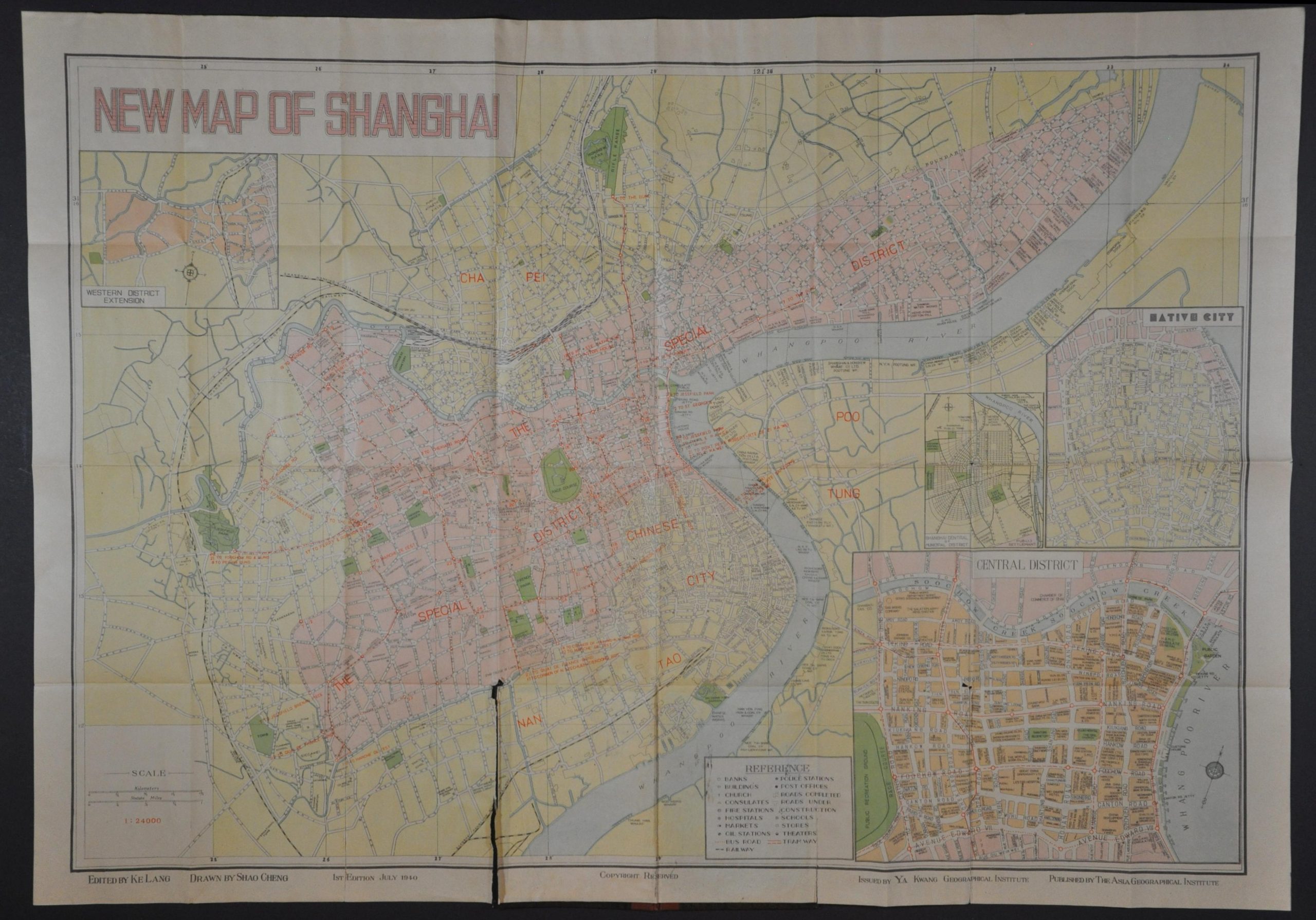
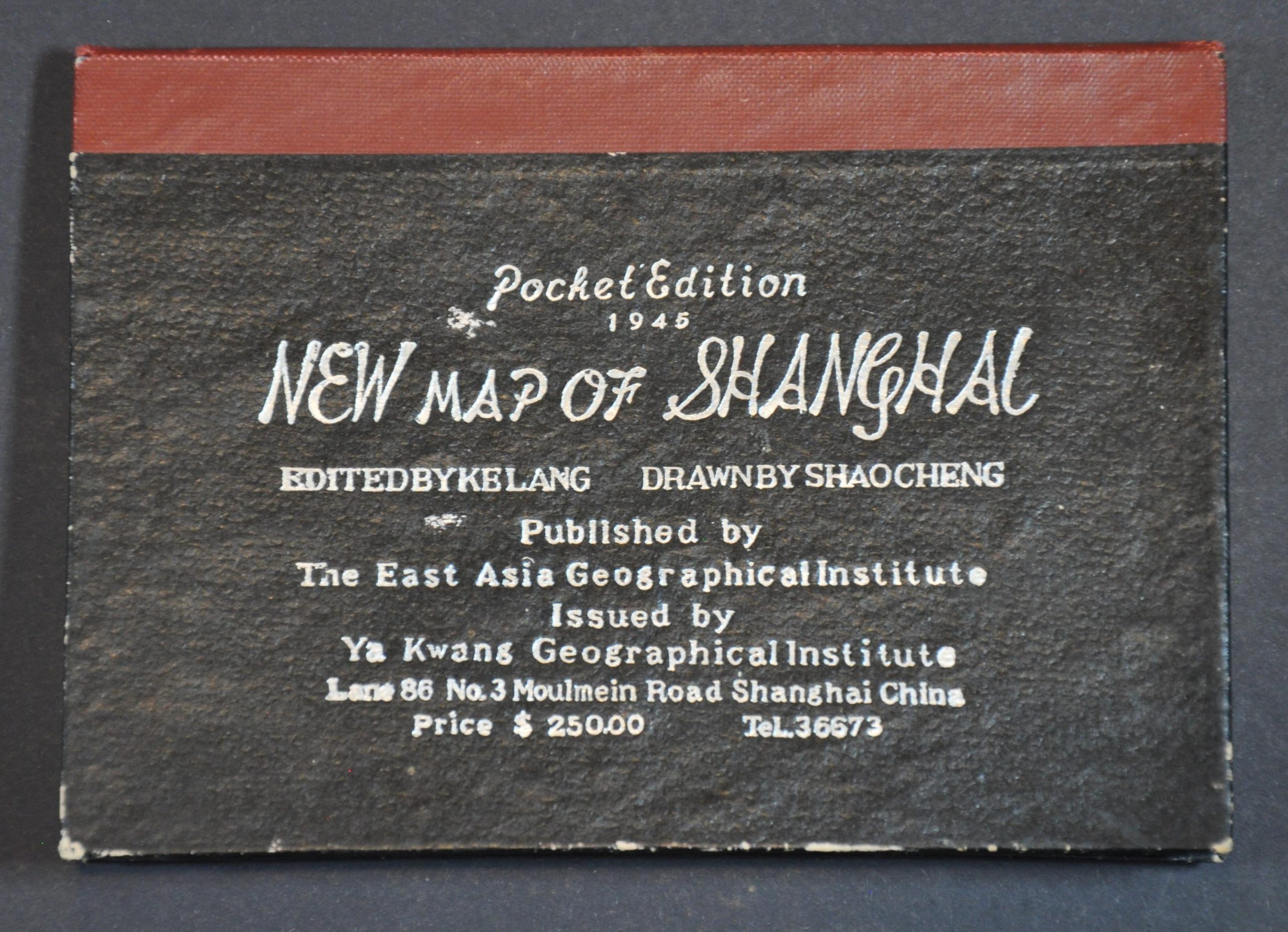
Description
This uncommon English-language pocket map of Shanghai was first published in July 1940, just three years after the city was captured by the Japanese Army during the Second Sino-Japanese War. This example was issued closer to Japan’s final defeat, in 1945 according to text on the front cover.
The image emphasizes the international concessions – enclaves in the city administered by French, Americans, English, and Japanese. Despite the ongoing occupation, the areas under Allied control were left largely unmolested until the attack on Pearl Harbor, after which the entire city fell to the Japanese. Numerous locations of interest, the transportation system, and notable infrastructure (schools, churches, hospitals, etc.) are labeled throughout. Insets show the Central District, Native City, and the center of the Municipal District. According to Virtual Shanghai,
“It [the map] shows the city with its administrative divisions before the complete integration and redrawing of districts after August 1945. The two foreign settlements no longer appear officially. They are called “special district”. In fact, despite the formal take over by the Chinese municipality under Mayor Chen Gongbo, the two areas remained virtually autonomous until the end of the war.”
The map was drawn by Shao Cheng and edited by Ke Lang. Published in Shanghai by the Asia Geographical Institute and issued in 1945 by the Ya Kwang Geographical Institute.
Map Details
Publication Date: 1945
Author: Shao Cheng
Sheet Width (in): 29.5
Sheet Height (in): 21
Condition: B
Condition Description: Large color printed pocket map folded into 36 segments and affixed to original cloth covered boards. Slightly toned and brittle sheet has split along several seams, with a few irregular tears along the edges, repaired on verso with archival materials. A bit of darker toning along folds and scattered in the margins, but overall in good condition. Blank on verso.
Out of stock