New Map of Rome
$50.00
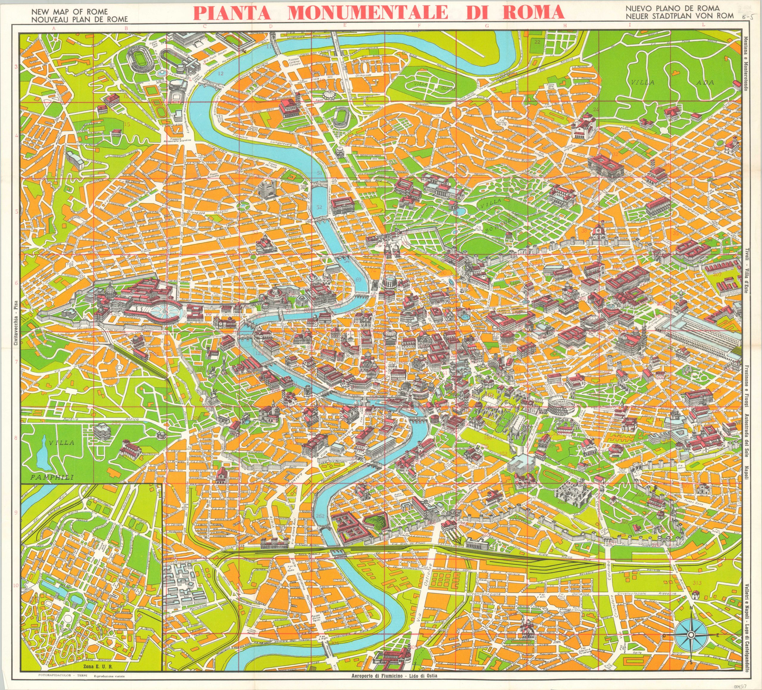
Detailed plan of Rome likely published for the 1960 Summer Olympics.
1 in stock
Description
This colorful street plan of Rome was published in Terni by Fotorapidacolor, probably around 1960 based on the emphasis given to the various venues that held the Summer Olympic games that year (see top left). The title is presented in four different languages, reflecting the broad intended audience.
Over three hundred different locations of interest are numbered within the image and identified on the verso. They include the iconic Colosseum, dozens of churches, the Vatican City, and repurposed remnants of Mussolini’s Fascist regime. A good example of the last category is represented by an inset plan in the lower left, which shows the E.U.R. Zone (Esposizione Universale Roma) – proposed site of a 1942 World’s Fair designed to celebrate twenty years of Fascism in Italy. It has since been developed into an extensive commercial and residential district.
Map Details
Publication Date: c. 1960
Author: Fotorapidcolor
Sheet Width (in): 24.25
Sheet Height (in):
Condition: A
Condition Description: Creased along fold lines and faint wear along the outer edges of the sheet. Near fine overall.
$50.00
1 in stock