New Jersey
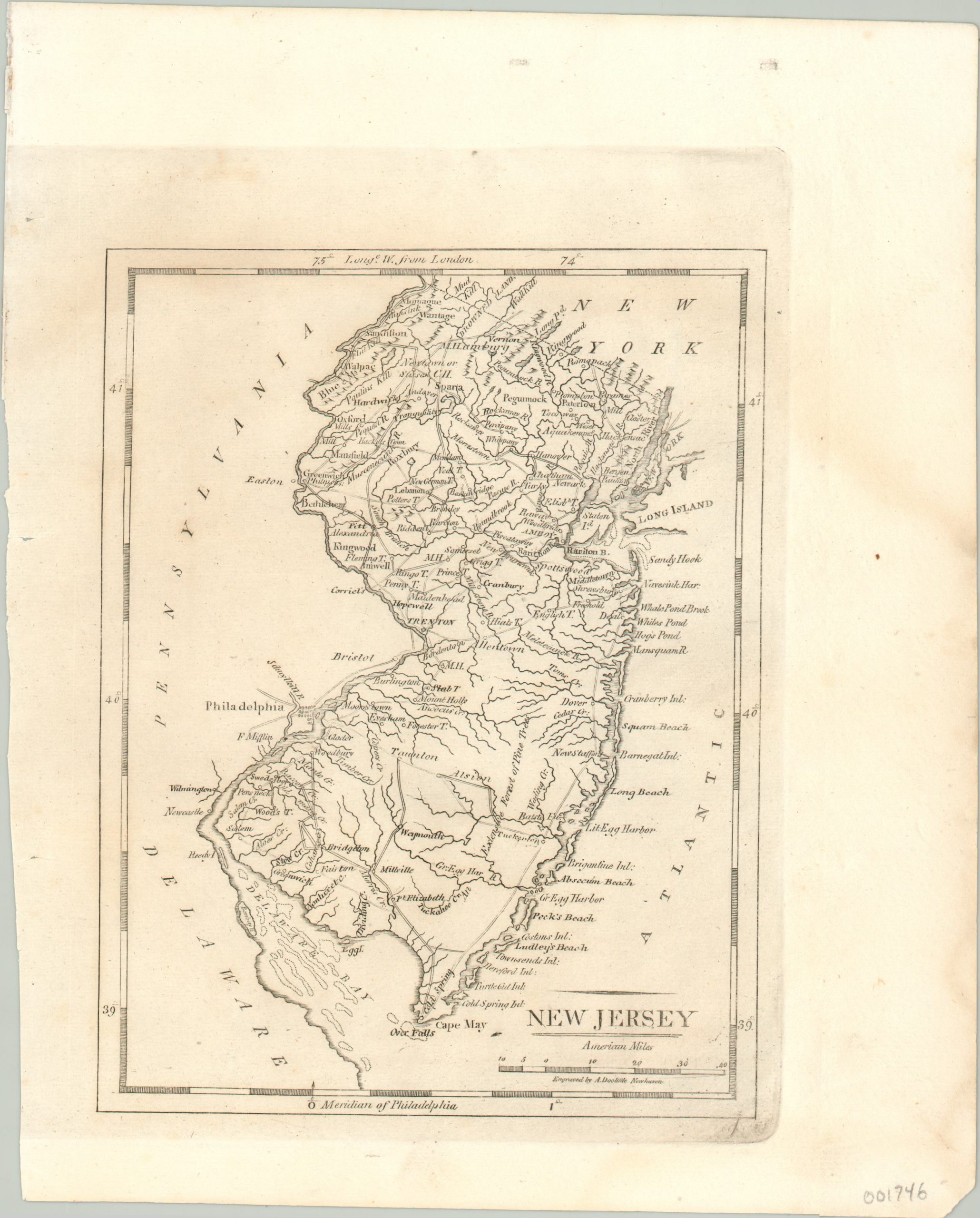
Detailed map of New Jersey published by Carey & Warner.
Out of stock
Description
Settlement is clearly concentrated in the north on this map of New Jersey, which also includes the adjacent urban centers of New York and Philadelphia. The south contains a large area labeled ‘extensive forest of pine trees’ inland from the Jersey Shore, which is studded with numerous islands, inlets, beaches, and harbors.
The map was engraved by Amos Doolittle in New Haven and published in Philadelphia in 1820 by Benjamin Warner and Matthew Carey, for inclusion in A General Atlas: Being a Collection of Maps of the World and Quarters…
Map Details
Publication Date: 1820
Author: Matthew Carey
Sheet Width (in): 8.30
Sheet Height (in): 10.20
Condition: A
Condition Description: Sheet slightly toned, but expertly cleaned, and in near fine condition. Slightly offset imprint with faint darkening from the impression of the plate.
Out of stock

