New Hampshire and Vermont
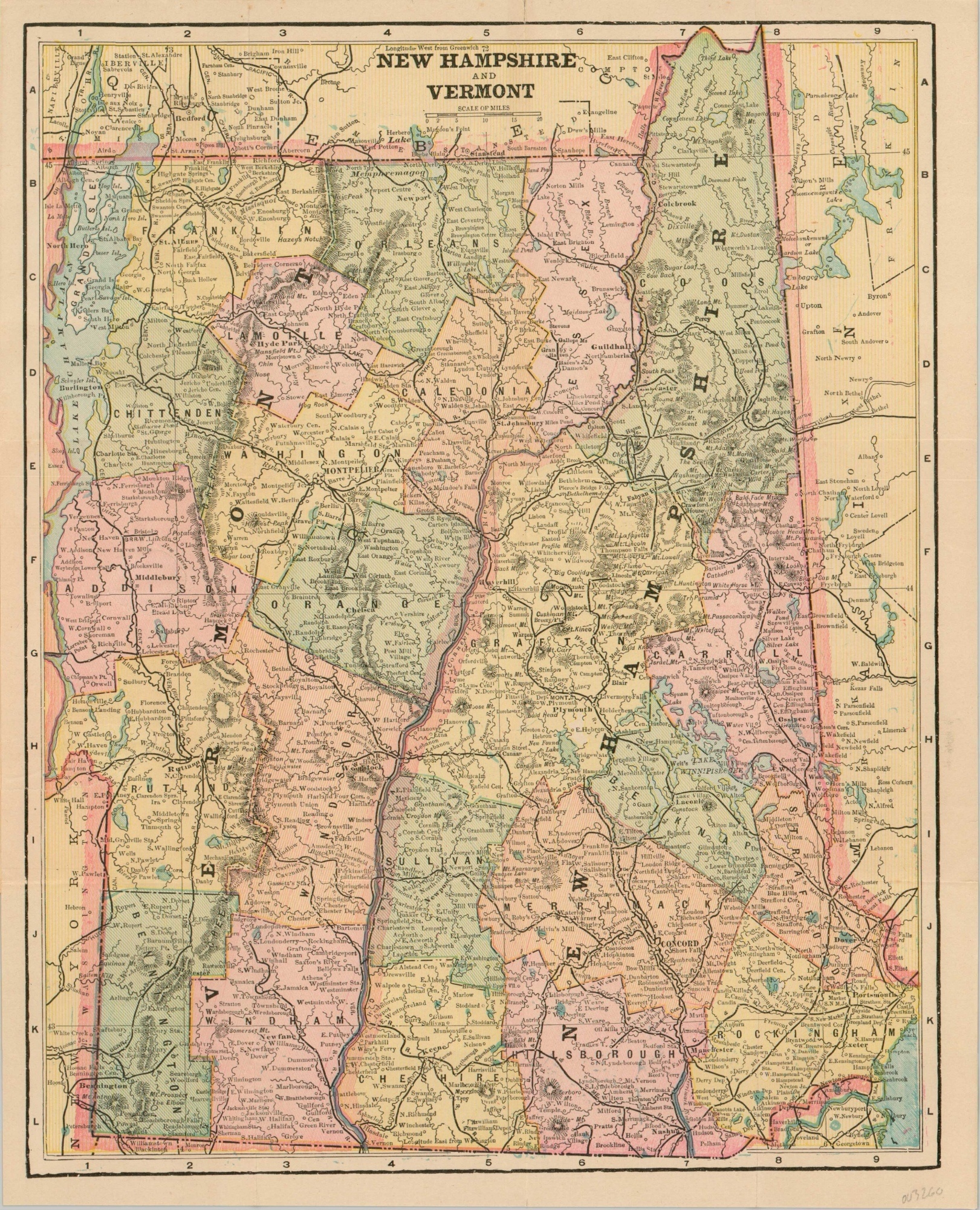
Pocket map of New Hampshire and Vermont, courtesy of your local headstone engraver.
Out of stock
Description
This quaint pocket map of the New England states of New Hampshire and Vermont was created by George Cram near the end of the 19th century. Vibrant lithograph color highlights each county and railroad lines are boldly depicted stretching to each corner of the image. Settlements of various sizes, geographic features, and other locations of interest are labeled.
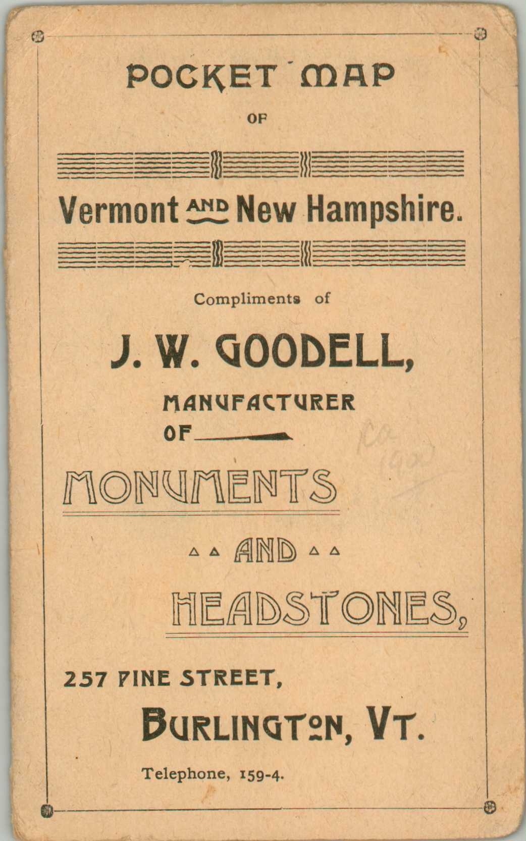
This particular example was distributed by J.W. Goodell, a monument and headstone manufacturer in Burlington, Vermont. Advertisements for the firm can be found on the original covers.
Map Details
Publication Date: c. 1899
Author: George Cram
Sheet Width (in): 10.90
Sheet Height (in): 13.5
Condition: A-
Condition Description: A few tears in the lower left of the sheet, where the map is affixed to its original paper wraps (torn along the spine). A bit of light discoloration and spotting on the verso that does not affect the image. Very good overall.
Out of stock


