
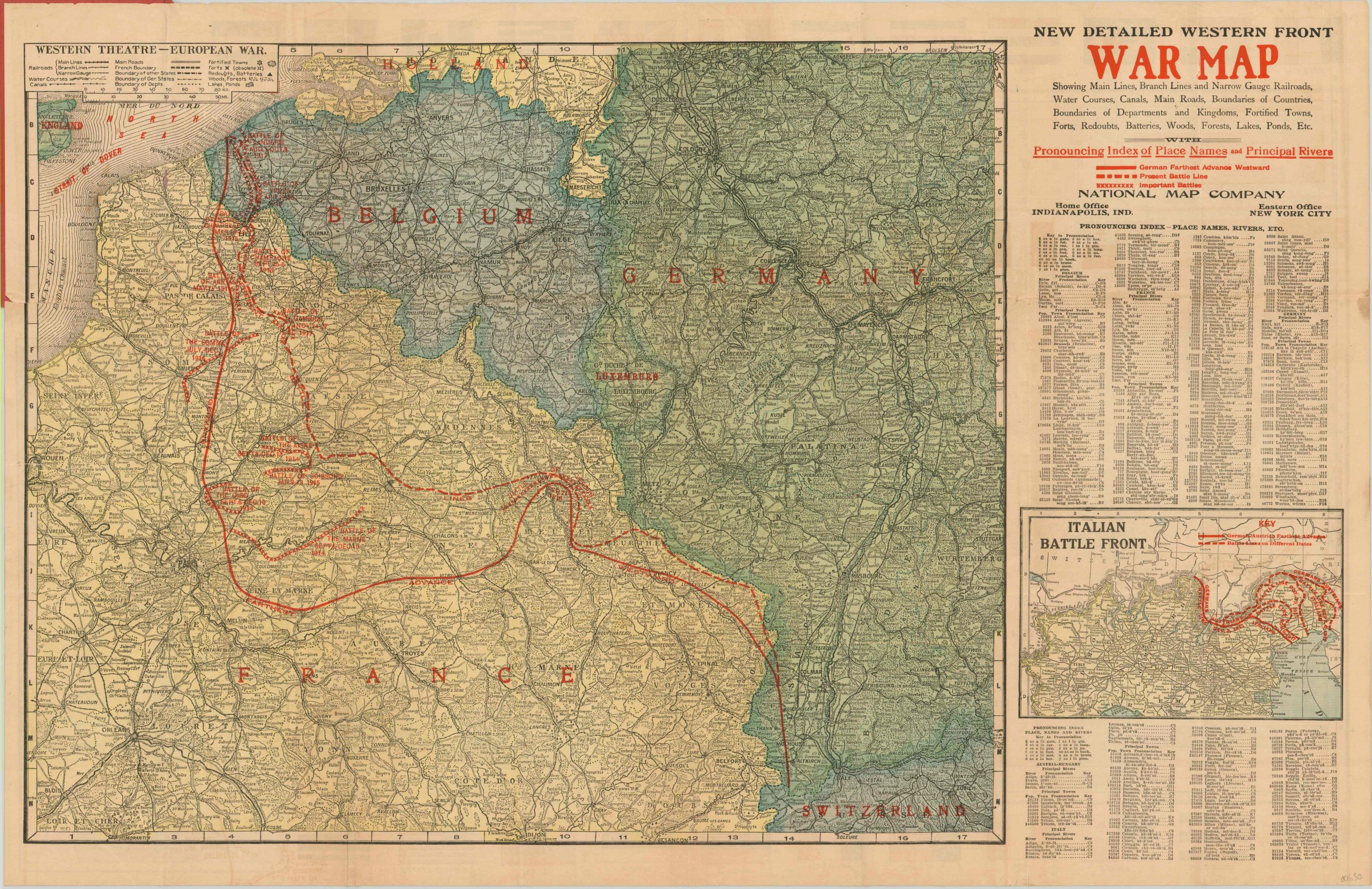
New Detailed Complete War Map of the European Battle Front with Complete World Map
$150.00
Comprehensive overview of the First World War issued in the beginning of its final year.
1 in stock

Description
Map Details
Publication Date: 1918
Author: National Map Company
Sheet Width (in): 33.80
Sheet Height (in): 22.00
Condition: B
Condition Description: Large pocket map originally issued folded into 24 sections. Now flattened, but remains affixed to the original red paper covers, which are worn. The front cover is soiled on the right side and has a coupon for a free "After the War Atlas" affixed to the inside. Several areas of wear and separation along fold lines, repaired on verso. Minimal image loss near Calais.
$150.00
1 in stock