
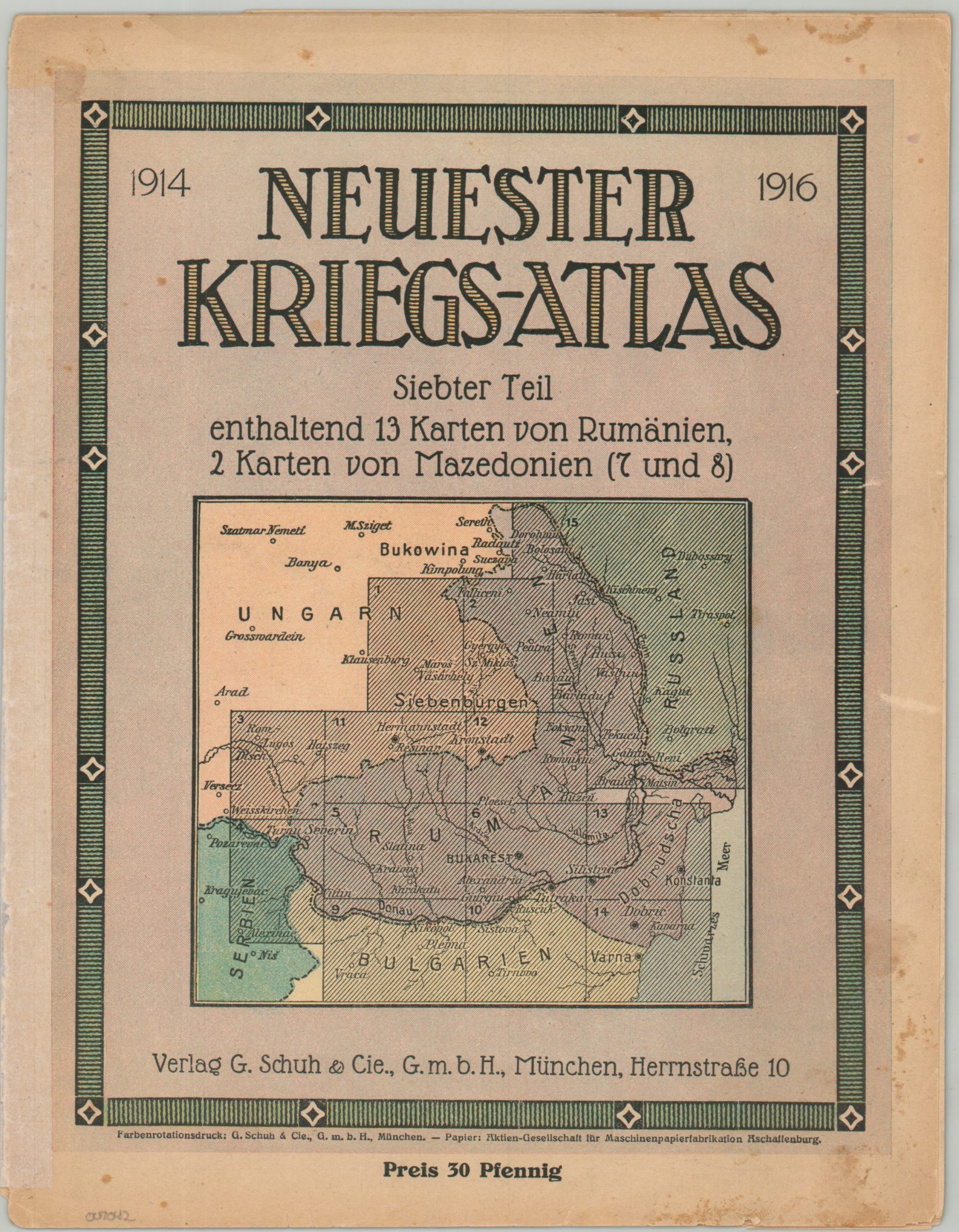
Neuester Kriegs-Atlas Siebter Teil enthaltend 13 Karten von Rumanien, 2 Karten von Mazedonien (7 und 8)
Latest War Atlas, Part Seven, containing 13 maps of Romania, 2 maps of Macedonia (7 and 8) – Title Translation.
Out of stock

Description
This ephemeral German atlas from World War I was published in Munich by G. Schuh & Cie in 1916. It was part seven of a larger series of inexpensive (originally sold for 30 pfennig) geographic references issued during the conflict to educate the public about current events.
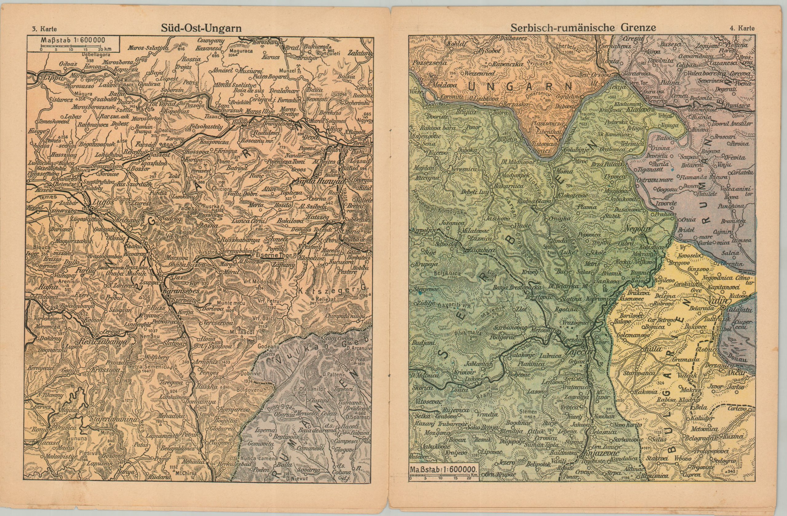
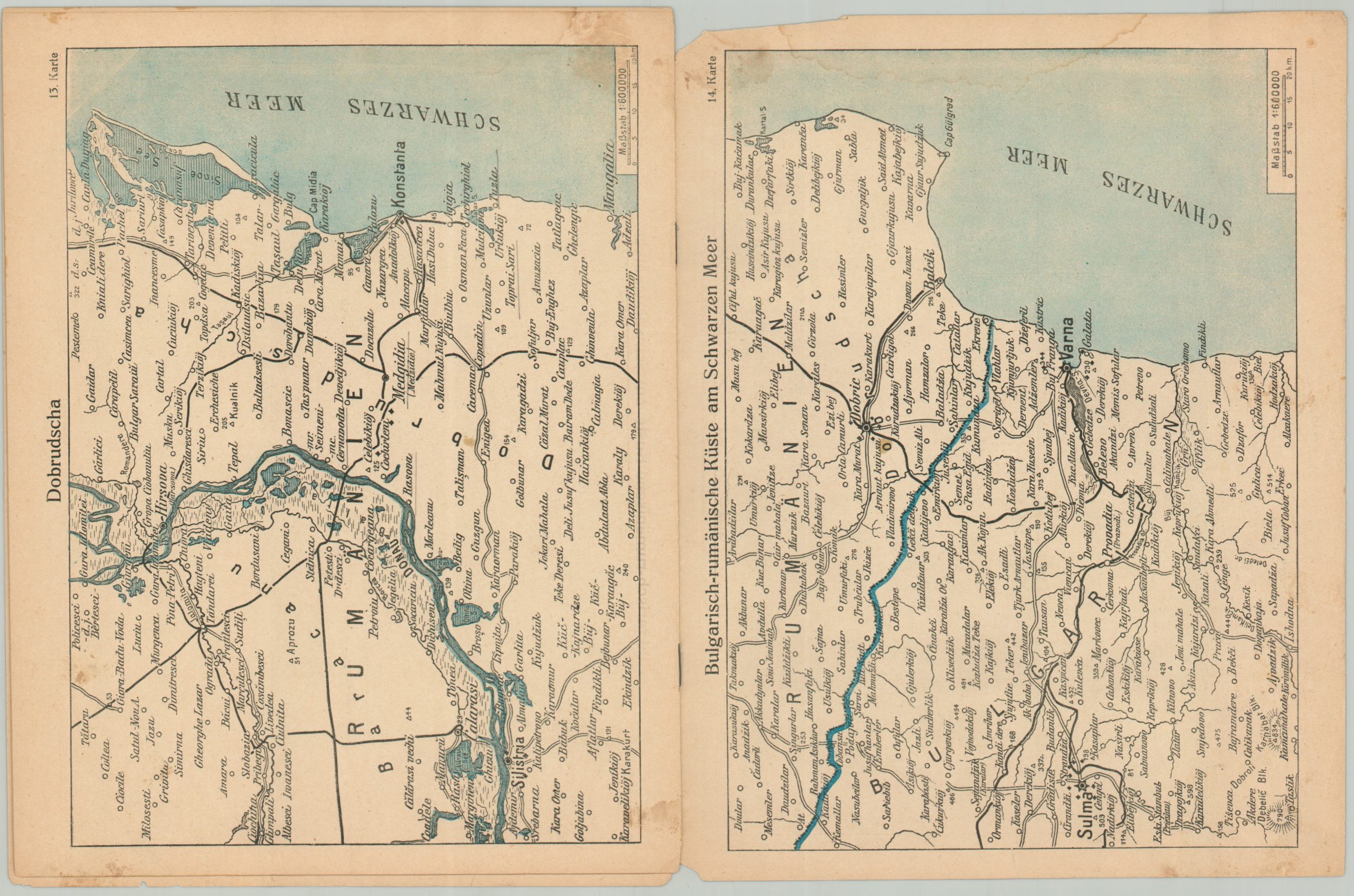
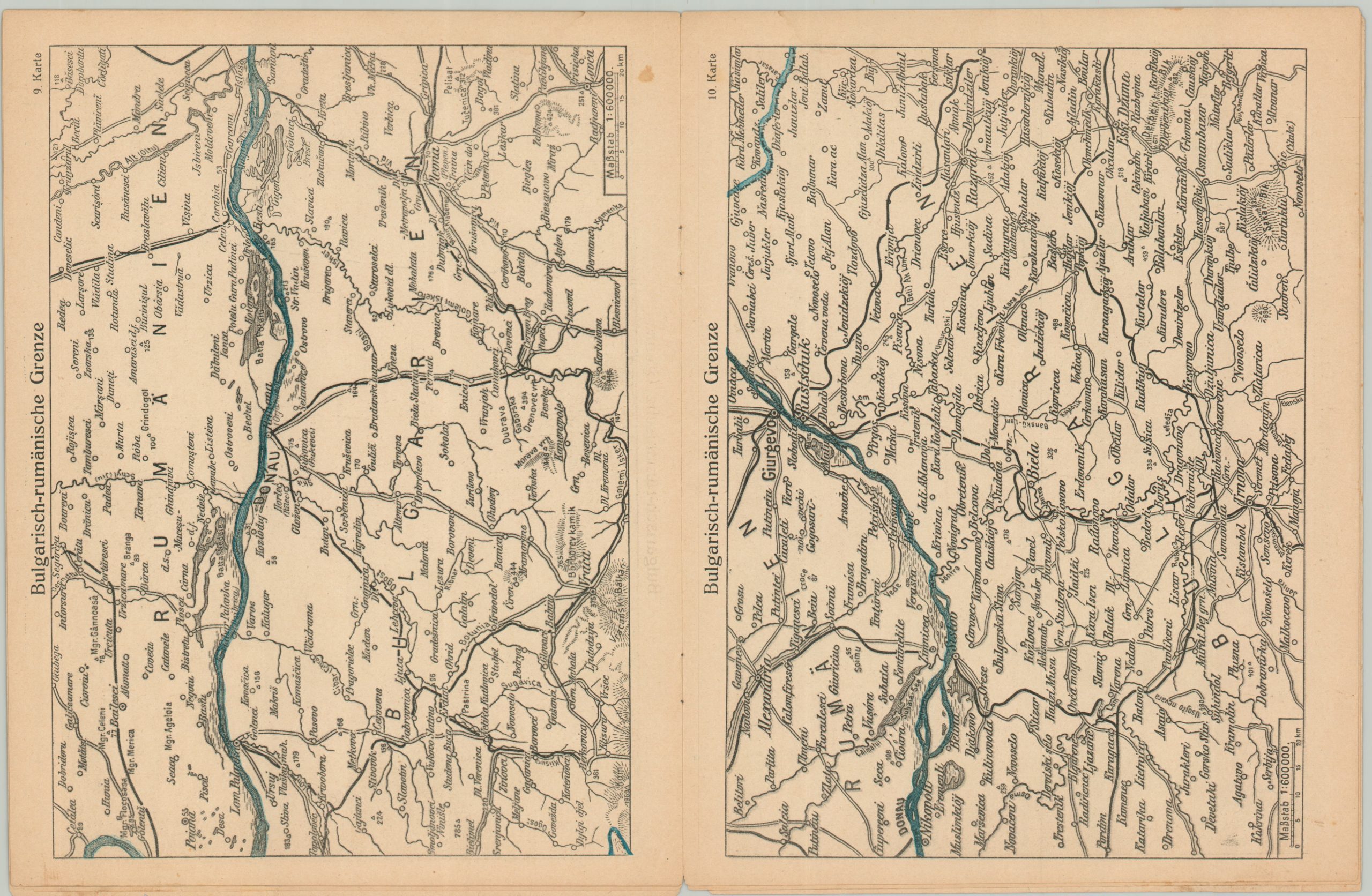
The fifteen maps cover a large region across the Balkans, including portions of Austria-Hungary, the Soviet Union, Romania, Serbia, and Bulgaria. Each sheet presents topography in simple hachure and identifies railways, towns, and geographic features.
The timing of publication was particularly relevant – in August 1916, Romania repudiated its neutrality and joined the war on the side of the Entente. Things went poorly, and by the end of 191,7 the nation was occupied by the Central Powers.
Map Details
Publication Date: 1916
Author: G. Schuh & Cie
Sheet Width (in): 8.5
Sheet Height (in): 11
Condition: B
Condition Description: 16 pp. atlas (15 single page maps + cover) with stapled binding. Archival tape along the spine. Moderate wear on the front page, including scattered staining, numerous edge tears, and toning consistent with age. The contents show similar issues, with a damp stain affecting the upper margin of several sheets and some other signs of wear and use. Fair to good condition overall.
Out of stock