
Navarro Mills Lake
$40.00
Safety first when enjoying Navarro Mills Lake!
1 in stock
Description
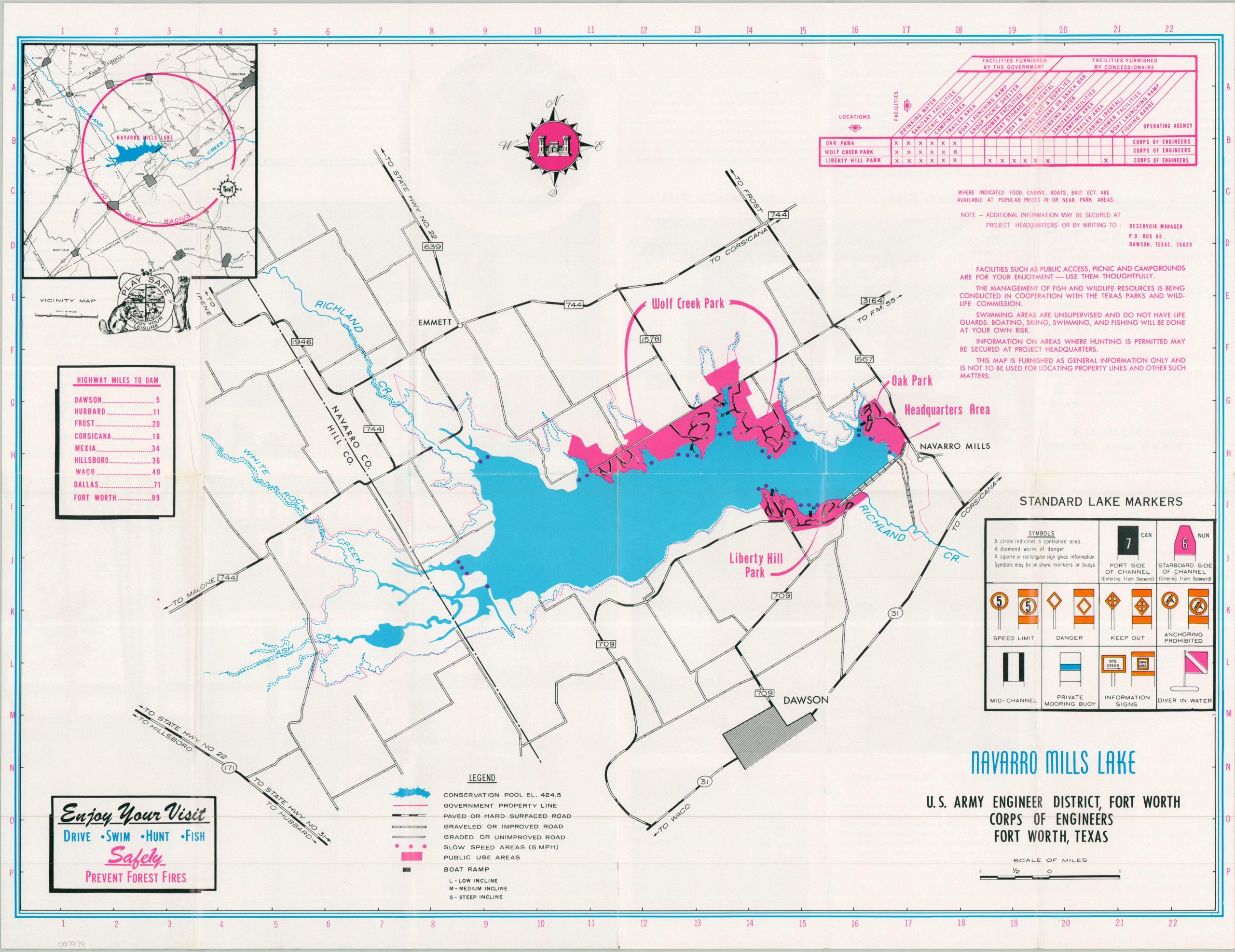
This rather practical map of Navarro Mills Lake and the surrounding area in eastern Texas was published by the U.S. Army Corps of Engineers in 1973, ten years after the artificial lake was completed. Public use areas are highlighted in pink, the transportation network is noted, and boat ramps (low, medium, and steep inclines) are pinpointed. The negative space is filled with pertinent safety information and practical reminders, with an inset map in the upper left. Text and color photographs on the verso.
Map Details
Publication Date: 1973
Author: U.S. Army Corps of Engineers
Sheet Width (in): 21.50
Sheet Height (in): 16.75
Condition: A
Condition Description: Double-sided brochure printed on glossy paper. Creased along original folds and lightly worn, consistent with age. Very good to near fine condition.
$40.00
1 in stock