
Murray’s Dial-A-Mile of California
Convenient mileage calculator for California’s major cities.
Out of stock
Description
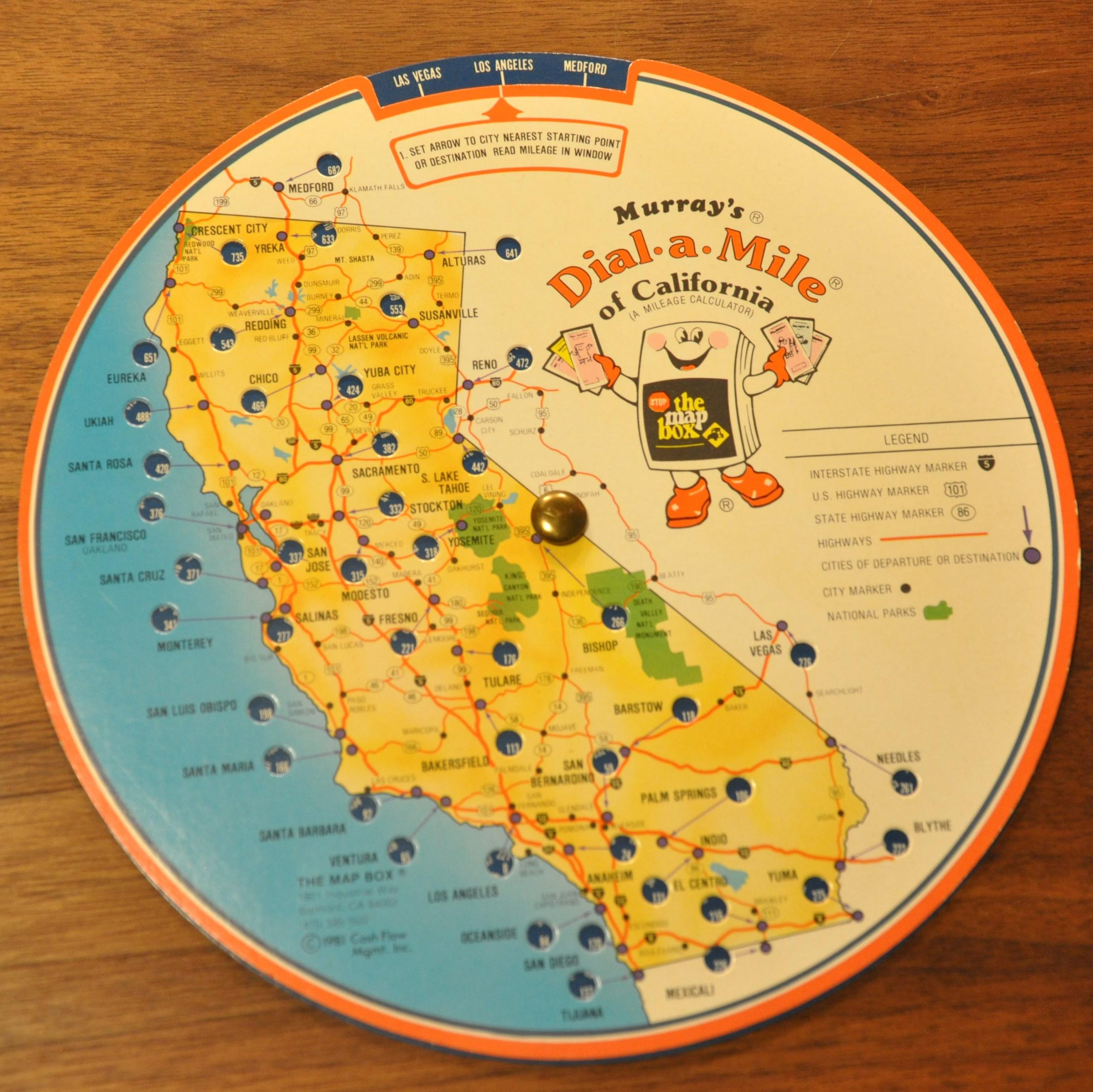
Underlying the need for accurate distances when trip planning, this circular map includes a wheel that spins to various cities across California and neighboring states. Windows within the image change to reflect the distance between each of these starting points, which generally lie along major highways or interstates.
Published in California by the Map Box in 1981.
Map Details
Publication Date: 1981
Author: The Map Box
Sheet Width (in): 7.6
Sheet Height (in): 7.6
Condition: A
Condition Description: A slight chip on the outer edge of the right side. Otherwise in fine condition.
Out of stock