
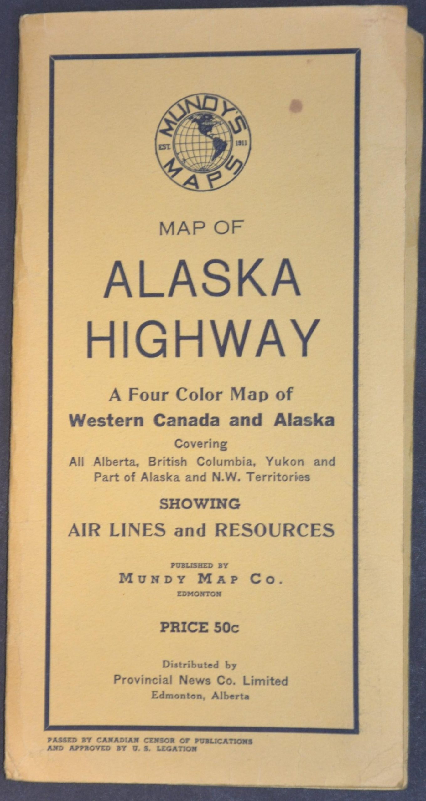
Mundy’s Pocket Map of Northwest Canada and Part of Alaska
$165.00
An early look at the recently completed Alaska Highway.
1 in stock

Description
The Alaska Highway was a massive WWII infrastructure project that saw the rapid construction of an overland route, nearly 1,700 miles long, connecting Fort St. John, British Columbia, with Fairbanks, Alaska. The Japanese attack on Pearl Harbor, followed by the invasion of the Aleutian Islands, underscored the vulnerability of Alaska and prompted the commitment of extraordinary resources to the project. Construction began in March 1942, and the pioneer road was completed in only about eight months, albeit in a very rudimentary form.
This detailed map, copyrighted by C. G. Mundy in 1943, provides an early publicly available look at the new military road. Access remained highly restricted, and censorship language in the lower left reflects the governmental authority under which its publication was approved. The Alaska Highway is shown in bright red, with a restricted zone extending along either side of the road. Parks and game preserves are also highlighted, including a large “Proposed Kluane Lake Park.” Trading posts, fishing villages, and mining camps dot the rugged interior, which is crisscrossed by a handful of railroads and a growing network of aviation routes and air services.
Source: TIME Magazine
Map Details
Publication Date: 1943
Author: C.G. Mundy
Sheet Width (in): 21.25
Sheet Height (in): 32.00
Condition: A-
Condition Description: Single-sided color printed map folded and affixed to original yellow paper covers. Creasing and light wear along folds, some minor marginal wrinkling, and a few old penciled annotations. Very good condition overall.
$165.00
1 in stock