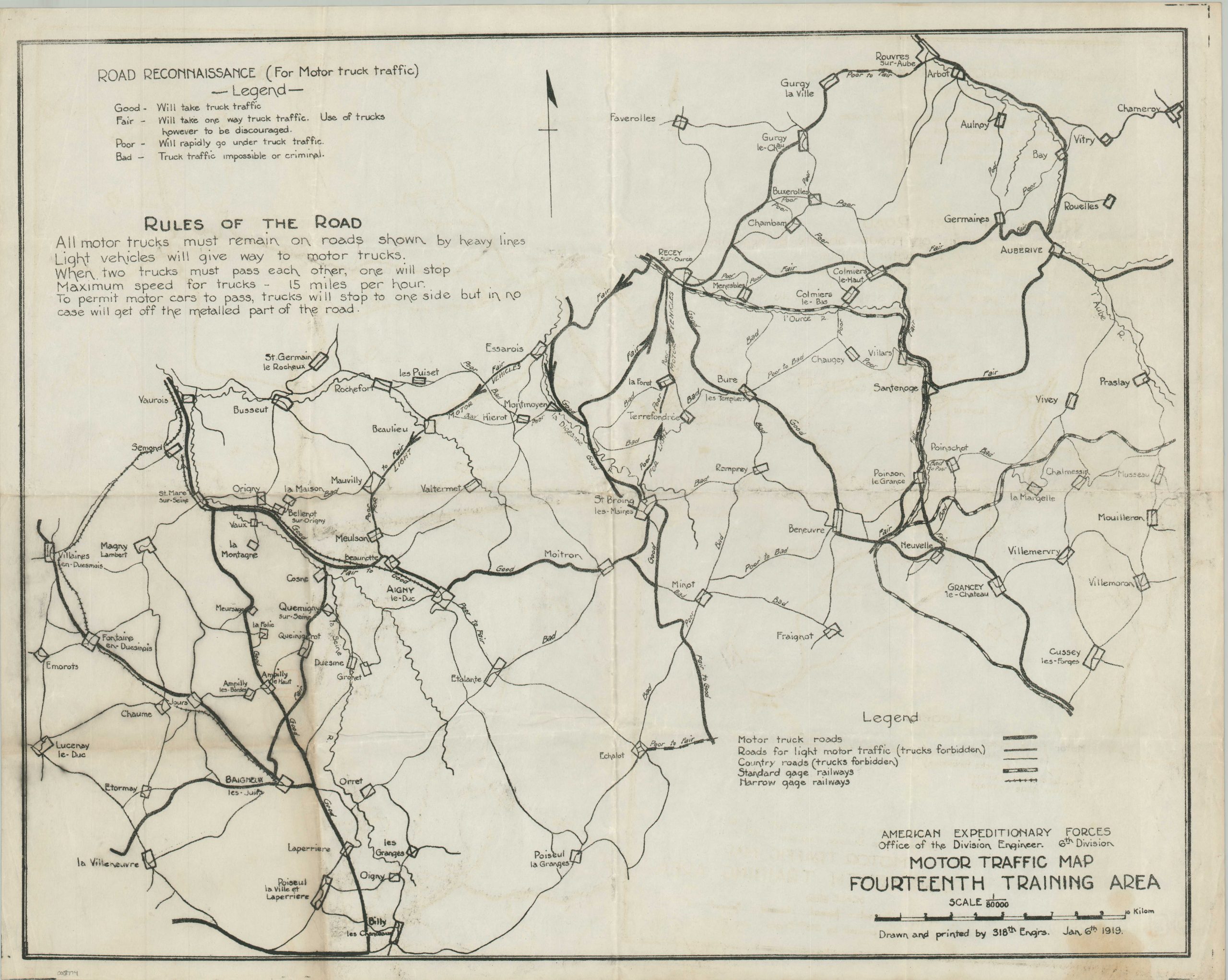
Motor Traffic Map Fourteenth Training Area [France]
$325.00
Rules of the Road’ for the American Expeditionary Forces in France.
1 in stock
Description
The combatants of World War I witnessed monumental shifts in the military operations, especially in the field of transportation. Though draft animals, horses, and railcars were still employed on a massive scale, motorized vehicles played an increasingly important role in the campaign, but were unfamiliar to many American G.I.’s.
Extensive training programs were implemented to familiarize the doughboys with the new equipment, as reflected by this rare wartime map. It shows a small region in northeastern France used as a training area by the 6th Infantry Division of the American Expeditionary Forces. Numerous roads and railways are noted according to a legend in the lower right, while the key in the upper left describes the various conditions (good, fair, poor, bad) assigned to the former category. Printed Rules of the Road include a maximum speed limit of 15 miles per hour for trucks!
Drawn and printed by the 318th Engineer Regiment and dated January 6, 1919 in the lower right. Published by Office of the Division (6th Infantry) Engineer, probably in France.
Map Details
Publication Date: 1919
Author: 318th Engineer Regiment
Sheet Width (in): 23.9
Sheet Height (in): 18.9
Condition: B+
Condition Description: Wear and creasing along old fold lines. Two panels in the lower left are toned and there is scattered soiling in several places, notable in the center-left, lower-center, and center right. Half-dollar sized damp stain in the lower right, near the edge of the sheet. About good condition overall.
$325.00
1 in stock

