
Motor Atlas – United States – Canada
$125.00
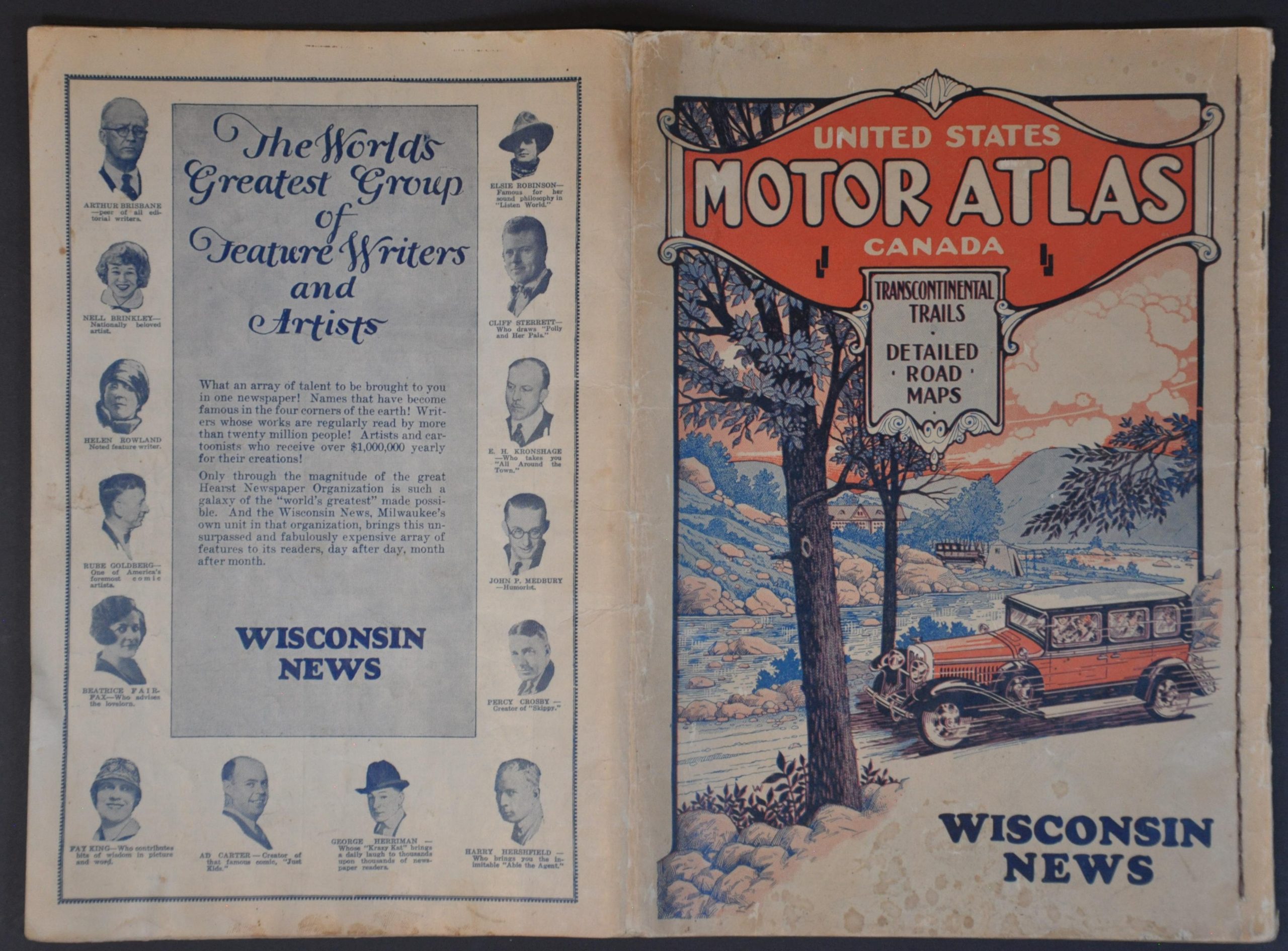
U.S. Road Atlas published shortly after the introduction of the U.S. Numbered Highway System.
1 in stock


Description
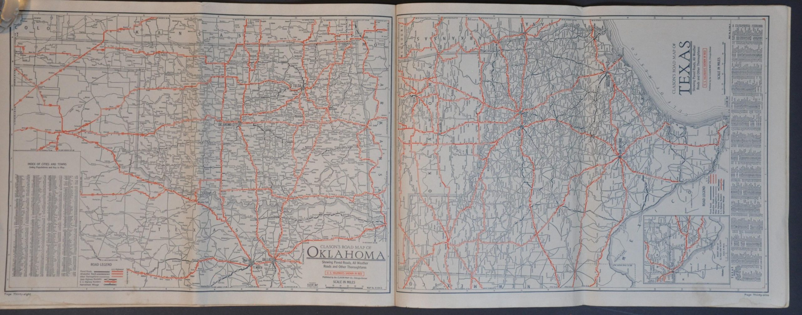
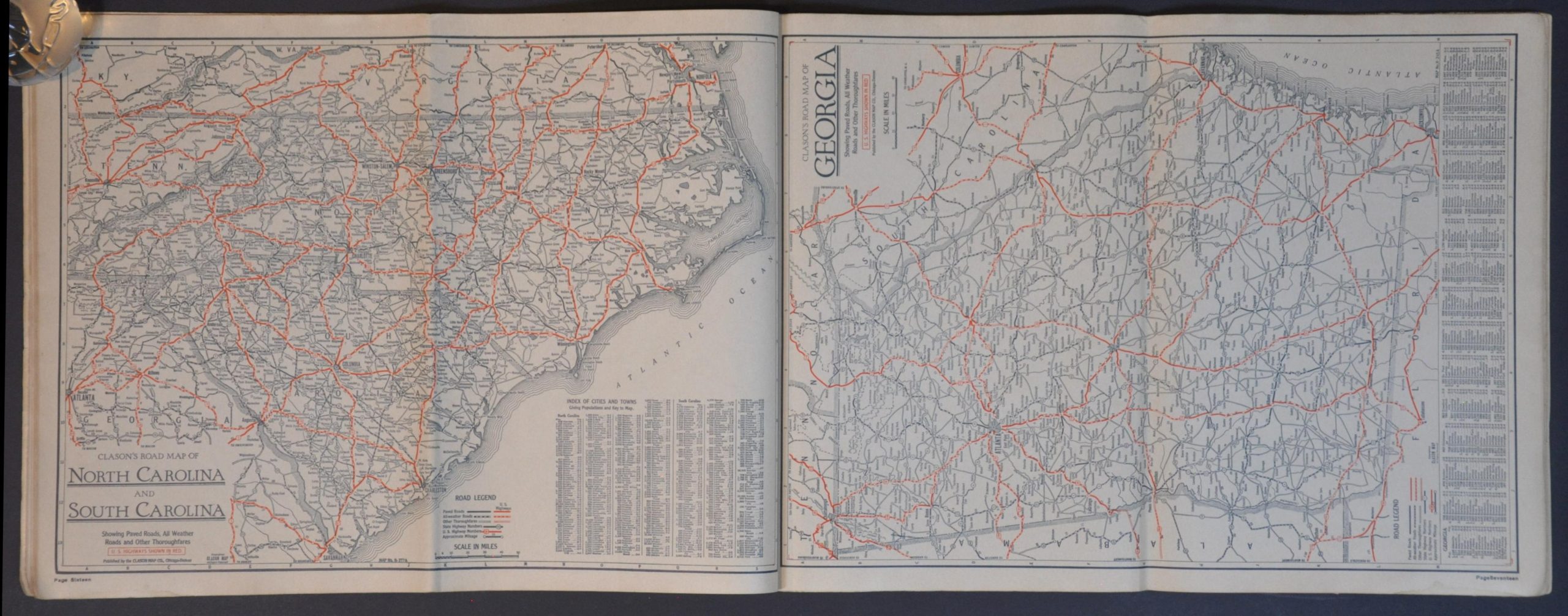
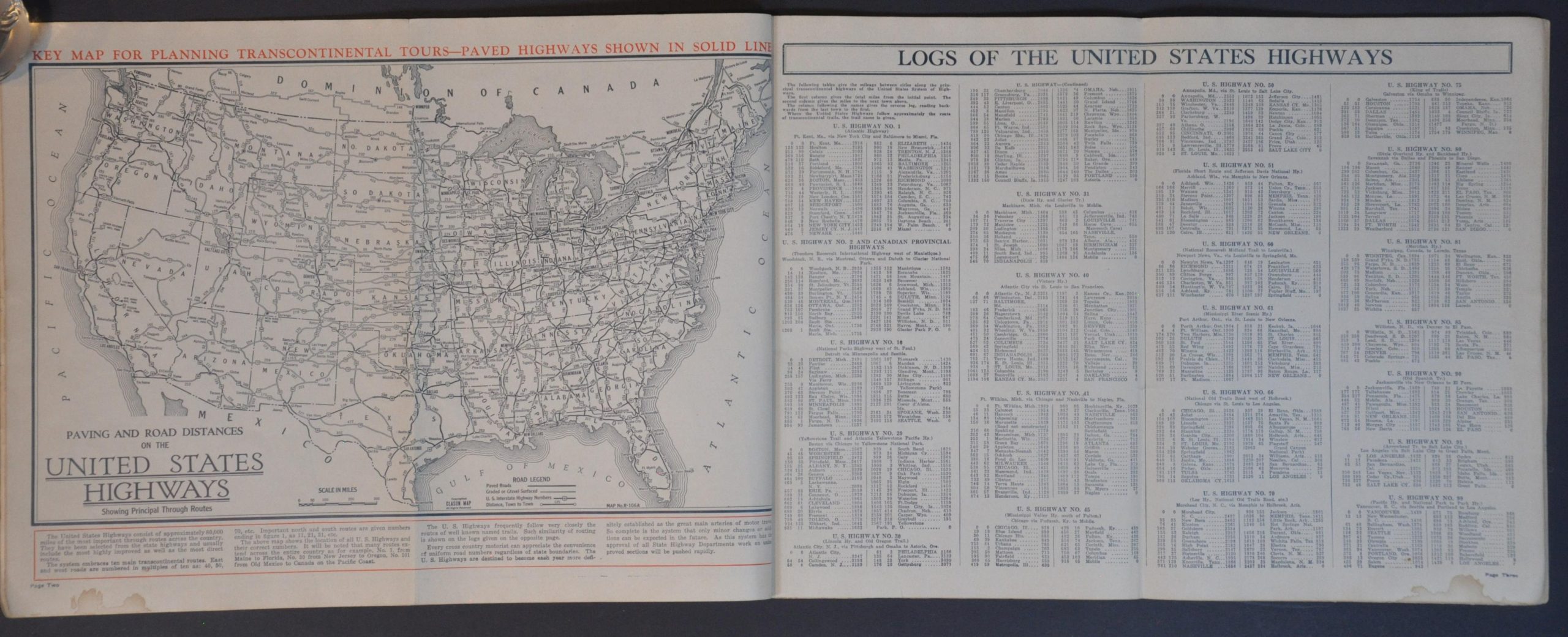
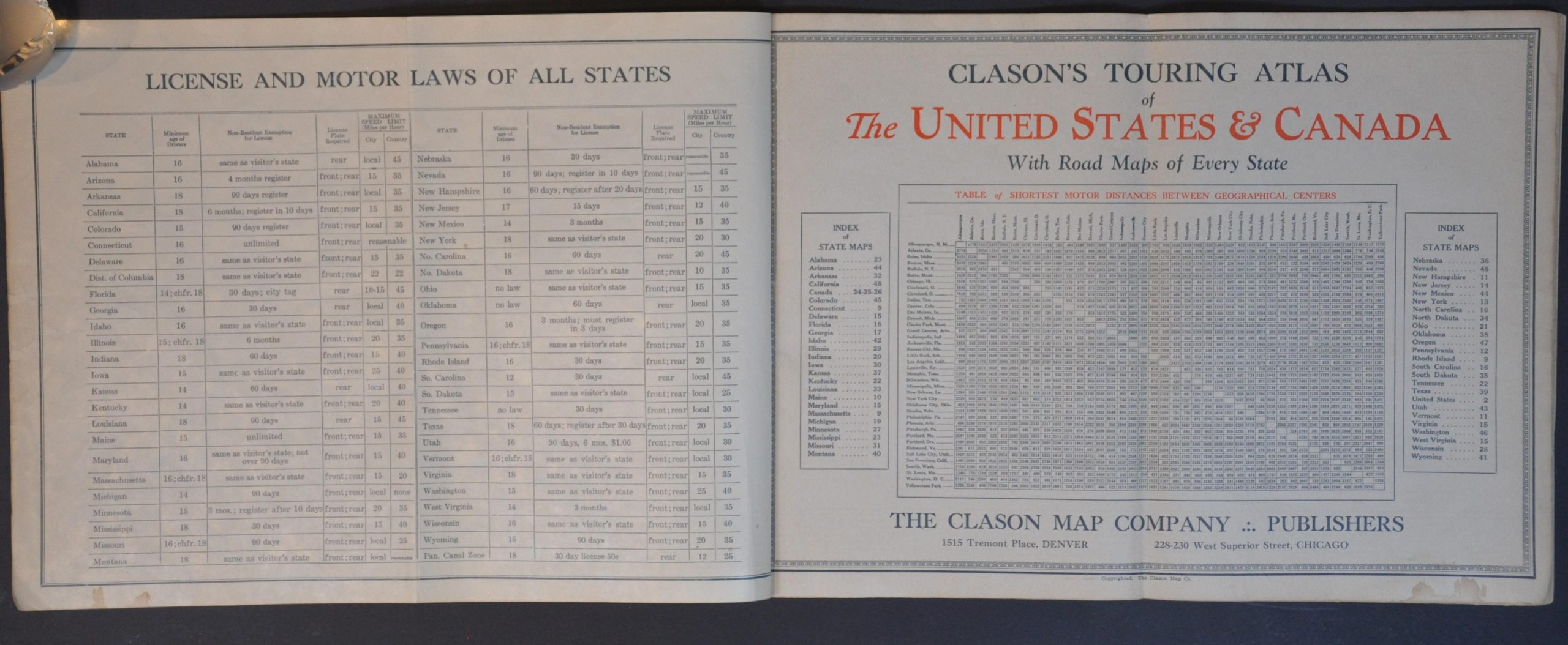
This fascinating 1920s atlas offers a detailed snapshot of the road network across the United States and parts of Canada. A ‘Key Map for Planning Transcontinental Tours’ is followed by a log of U.S. Highways and brief summaries of highlights and attractions across each of the 48 states. Each of the road maps highlights U.S. Highways in red and uses different styles of lines to identify various road qualities (Paved, All-Weather, Other Thoroughfares). Distances between points are noted, and an index of towns and cities is provided.
The atlas was published by the Clason Map Company (offices in Denver and Chicago) around 1927. Shortly before issue, the introduction of the U.S. Numbered Highway System (1926) helped to streamline cross-country travel, making the work a convenient reference for the new system. It was distributed, likely as a subscription premium, by the Wisconsin News. The back cover features a bold advertisement for the Hearst newspaper syndicate, including portraits of numerous prominent contributors like Arthur Brisbane, Rube Goldberg, and Nell Brinkley.
Map Details
Publication Date: c. 1926
Author: Clason Map Company
Sheet Width (in): 16.00
Sheet Height (in): 11.90
Condition: B
Condition Description: 50 pp. atlas (complete) with string binding and original stiff paper wraps, folded over once (as issued). Covers and contents are moderately worn and soiled, with the former bearing the brunt of the problems. Some light scattered damp staining along the lower edge, minor marginal wear (creased corners, toning, etc.), and the odd spot of foxing and dirty fingerprint. About good condition overall.
$125.00
1 in stock